Browse / Australia / South Australia / Rapid Bay
Rapid Bay
South Australiahamlet

Rapid Bay
Total population
16
Air quality index
Demographic figures from Australian Bureau of Statistics. Overview below cites Wikipedia and may reference a different year.
City facts
Overview
Rapid Bay is a locality that includes a small seaside town and bay on the west coast of the Fleurieu Peninsula, South Australia. It lies within the District Council of Yankalilla and its township is approximately 100 km south of the state capital, Adelaide. A pair of jetties are popular attractions for recreational fishing, scuba diving and snorkelling. The bay particularly known as a site for observing leafy seadragons in the wild. Its postcode is 5204.
Read more on WikipediaHistory & geography
History
Rapid Bay features in the creation myths of the Kaurna and Ramindjeri peoples most notably as the burial site of the nephew of the Kaurna creator ancestor known as Tjilbruke. There is uncertainty as to the Kaurna name for Rapid Bay, which has been cited as Patparno, Patpangga (meaning "south" or "south place"), and Yarta-kulangga, a popular campsite at Rapid Bay, whose name probably means "place of the separate country". However, there is no evidence that any of these names was a place name for Rapid Bay, though the bay is officially dual-named Patpangga. Prior to the establishment of the South Australian colony, whalers based on Kangaroo Island were known to have called at Rapid Bay though it was not so named until 1836. South Australia Colonial Surveyor General Colonel William Light made his first landfall on mainland South Australia at Rapid Bay on 8 September 1836. The site was named after Light's ship, the 162 ton brig Rapid. To mark this historic landfall the Colonel's initials, "W.L.", were carved into a large boulder – a replica is visible in the township, while the original is stored in the South Australian Museum, in Adelaide. John Rapid Hoare (7 November 1836 – perhaps 7 July 1916), also named for the brig Rapid, was the first European child born on mainland South Australia. Claims that he was born at Rapid Bay have been refuted. Rapid Bay was briefly considered by Light as a potential site for the new colony's capital,
Excerpted from the corresponding Wikipedia article (CC BY-SA).
Geography
Coordinates & boundaries from the US Census TIGER/Line shapefiles.
Climate
10-year averages from ERA5 reanalysis (Open-Meteo).
Air quality
Current readings from Open-Meteo Air Quality API (Copernicus CAMS European reanalysis).
Walkability
Amenities nearby
Wildlife & biodiversity
Most-observed species
- Superb FairywrenMalurus cyaneus (Ellis, 1782) · Aves576
- Australian MagpieGymnorhina tibicen (Latham, 1802) · Aves575
- Glauert's Sea-dragonPhycodurus eques (Günther, 1865) · Animalia517
- GalahEolophus roseicapilla (Vieillot, 1817) · Aves453
- Crimson RosellaPlatycercus elegans (Gmelin, 1788) · Aves442
- Silver GullChroicocephalus novaehollandiae (Stephens, 1826) · Aves426
- Black-Striped MorwongPseudogoniistius nigripes (Richardson, 1850) · Animalia383
- Little RavenCorvus mellori Mathews, 1912 · Aves373
Citizen-science & research observations from the Global Biodiversity Information Facility (GBIF).
Earthquake history
Most recent
- M 3 — 2022-03-293 km ESE of Macclesfield, Australia
- M 4 — 2022-03-053 km SW of Mount Barker, Australia
- M 3.3 — 2011-10-183 km ESE of Hawthorndene, Australia
- M 3.8 — 2010-04-162 km N of Macclesfield, Australia
- M 2.8 — 2007-07-0826 km SW of Normanville, Australia
- M 2.9 — 2004-11-2518 km W of Kingscote, Australia
Events from the USGS Earthquake Catalog (global) (FDSN Event Web Service).
Photos
Sights & places nearby
Notable people from here
People born within ~10 km, from Wikidata (CC0). Click any name for their Wikipedia article.
Nearby places in South Australia
- Second Valley1.8 mi away · pop. 118
- Yankalilla10.2 mi away · pop. 795
- Myponga18.1 mi away · pop. 443
- Hindmarsh Valley23.7 mi away
- American River29.6 mi away · pop. 280
- Edithburgh39.6 mi away · pop. 497
- Bradbury44.1 mi away · pop. 142
- Willyaroo44.2 mi away · pop. 661
- Wool Bay44.6 mi away · pop. 106
- Longwood45 mi away · pop. 98
- Echunga45 mi away · pop. 630
- Bugle Ranges47.1 mi away
Geography & sun
Elevation, sunrise/sunset and daylight from Open-Meteo. Solar climatology from NASA POWER.
Nearby airports
Public attention
Pageview totals from the Wikimedia Pageviews API.
Books about Rapid Bay

Search results from Open Library.
Recent natural events nearby
Ground air-quality sensors
Recently spotted species
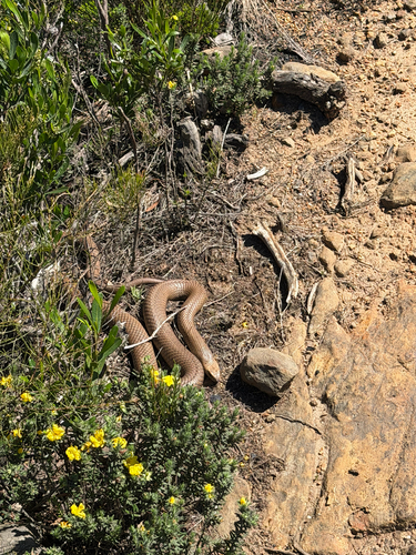
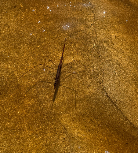
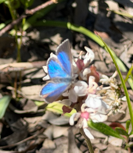
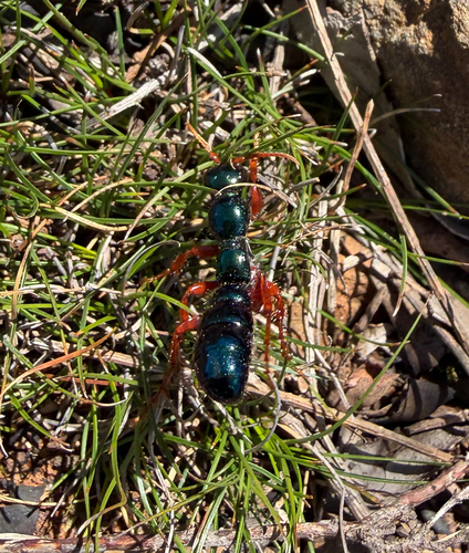
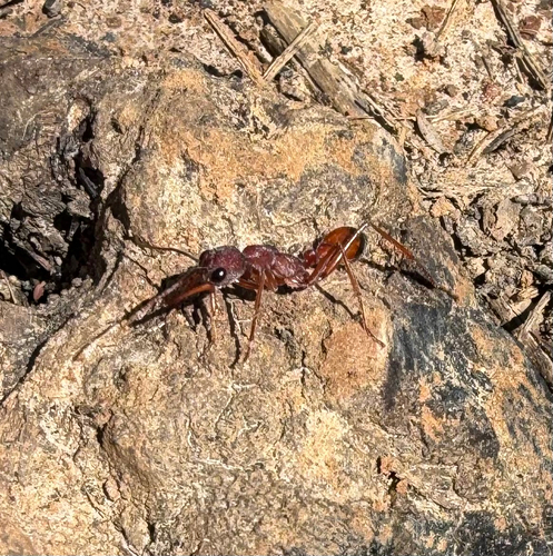
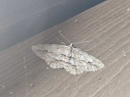
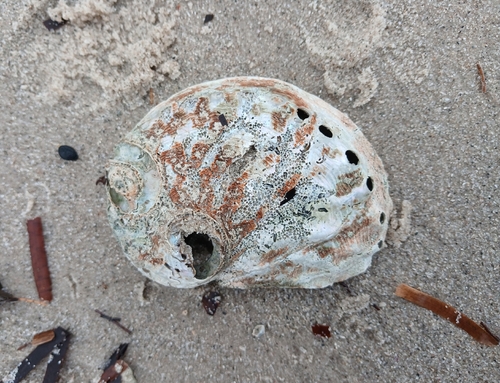
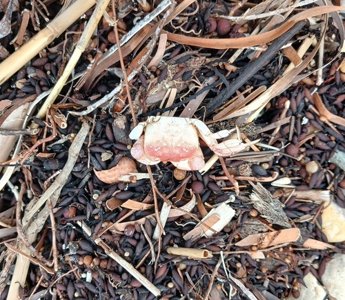
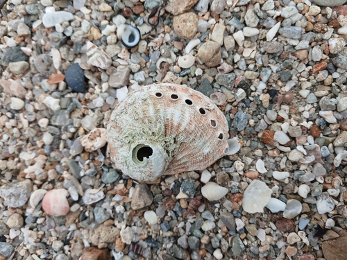
Research-grade observations from iNaturalist (within ~15 mi).
Events
Gallery
Geotagged photos within ~6 miles of Rapid Bay, from Wikimedia Commons contributors.
 0 mi
0 mi 0.5 mi
 0.5 mi
 0.5 mi
 0.6 mi
 0.6 mi
 0.6 mi
 0.7 mi
 0.7 mi
 0.7 mi
 0.7 mi
 0.7 mi
 0.7 mi
 0.7 mi
 0.7 mi
 0.7 mi
 0.7 mi
 0.7 mi
 0.7 mi
 0.7 mi
 0.7 mi
 0.7 mi
 0.7 mi
 0.7 mi
Photos via Wikimedia Commons — see each image page for license & attribution.
Official Identifiers
ABS — Australian Bureau of Statistics
- ASGS 2021
- SAL41238
- Population (Wikidata)
- 15
- Wikidata
- Q7294133
ASGS 2021 ID via Wikidata P10112
Sources
- • Wikipedia
- • Open-Meteo (ERA5 reanalysis)
- • Wikimedia Commons
- • Wikidata
- • Open-Meteo Air Quality (CAMS)
- • USGS Earthquake Catalog (global feed)
- • GBIF (Global Biodiversity Information Facility)
- • iNaturalist
- • Open-Meteo / sunrise-sunset.org
- • Wikipedia Pageviews API
- • Open Library
- • ABS — Australian Bureau of Statistics — ASGS 2021 ID via Wikidata P10112