Browse / Australia / Queensland / Redridge
Redridge
Queenslandhamlet
Total population
138
Demographic figures from Australian Bureau of Statistics. Overview below cites Wikipedia and may reference a different year.
City facts
Overview
Within Queensland, Australia, Redridge stands as a small hamlet. Located at -25.177°, 152.345°, Redridge occupies a subtropical portion of the southern hemisphere. Population sits at roughly 138 according to the open data we track. Solar-resource estimates put the area at about 1,934 kWh/m² of solar irradiance per year with sunshine for roughly 76% of daylight hours. Based on its subtropical position, residents likely encounter hot summers and mild winters typical of the subtropics. The sections below expand on demographics, weather, terrain, hazards and nearby points of interest using publicly available datasets.
Summary composed automatically from structured open data on this page. See our Terms for details.
History & geography
Geography
The Gregory River forms the north-eastern boundary of the locality, while Stockyard Creek forms the southern and south-eastern boundaries. A cane tramway enters the locality from the north-west (Farnsfield) and extends towards the south-east of the locality and terminates there. It provides a means to transport harvested sugarcane to the Isis Central sugar mill. Although most of the land is used for a variety of crop growing (including sugarcane), there is some residential development in the south-west of the locality, mostly rural residential acreage blocks.
Excerpted from the corresponding Wikipedia article (CC BY-SA).
Geography
Coordinates & boundaries from the US Census TIGER/Line shapefiles.
Climate
Air quality
Walkability
Amenities nearby
Wildlife & biodiversity
Most-observed species
- Willie-wagtailRhipidura leucophrys (Latham, 1802) · Aves234
- Brown HoneyeaterLichmera indistincta (Vigors & Horsfield, 1827) · Aves189
- Australian MagpieGymnorhina tibicen (Latham, 1802) · Aves187
- Peaceful DoveGeopelia placida Gould, 1844 · Aves182
- Torresian CrowCorvus orru Bonaparte, 1850 · Aves178
- Rufous WhistlerPachycephala rufiventris (Latham, 1802) · Aves178
- Laughing KookaburraDacelo novaeguineae (Hermann, 1783) · Aves176
- Lewin's HoneyeaterMeliphaga lewinii (Swainson, 1837) · Aves165
Citizen-science & research observations from the Global Biodiversity Information Facility (GBIF).
Earthquake history
Most recent
- M 4.9 — 2015-02-1542 km N of Mundubbera, Australia
Events from the USGS Earthquake Catalog (global) (FDSN Event Web Service).
Photos
Sights & places nearby
Notable people from here
Nearby places in Queensland
- Goodwood3.2 mi away
- Childers5.8 mi away · pop. 1,361
- South Isis6.3 mi away
- Cordalba8.4 mi away · pop. 358
- Eureka12.5 mi away
- Kinkuna13.3 mi away · pop. 188
- South Bingera17.2 mi away
- Calavos17.8 mi away
- South Kolan20.2 mi away · pop. 208
- Woongarra20.4 mi away
- Toogoom20.7 mi away
- Bundaberg21.5 mi away · pop. 52,370
Geography & sun
Elevation, sunrise/sunset and daylight from Open-Meteo. Solar climatology from NASA POWER.
Nearby airports
Public attention
Pageview totals from the Wikimedia Pageviews API.
Books about this place
Recent natural events nearby
Ground air-quality sensors
Recently spotted species
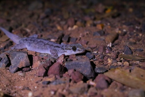
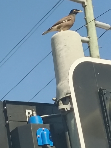
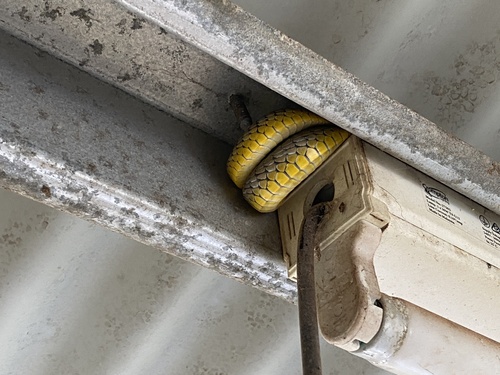
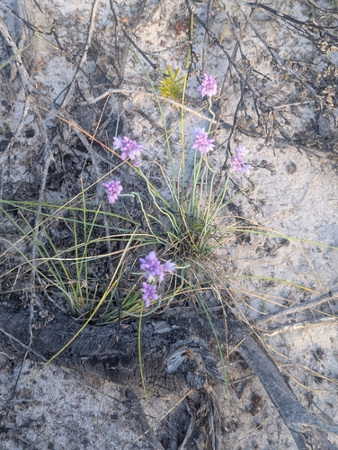
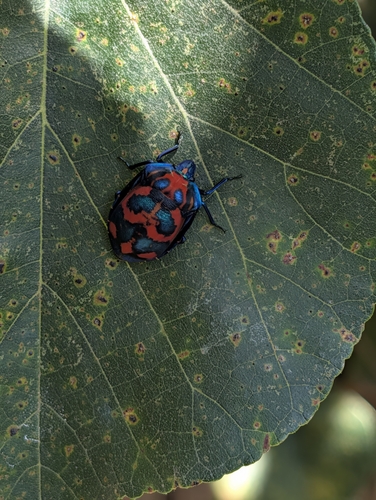
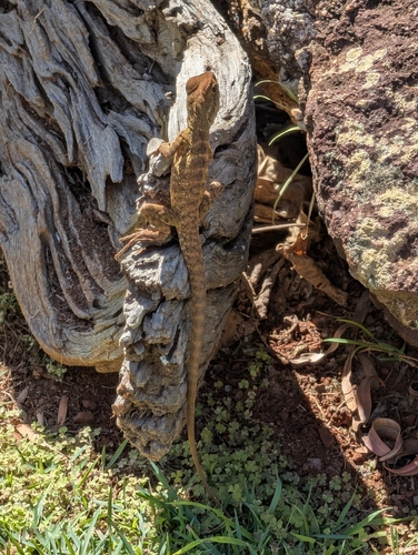
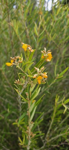
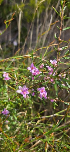
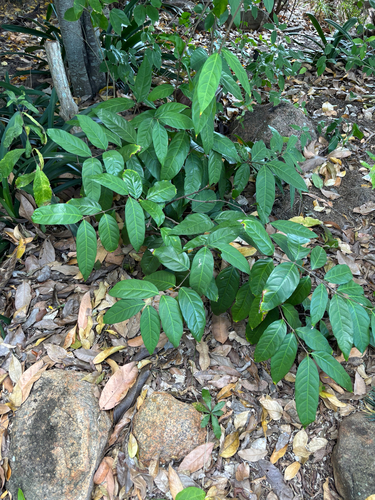
Research-grade observations from iNaturalist (within ~15 mi).
Events
Gallery
Official Identifiers
ABS — Australian Bureau of Statistics
- ASGS 2021
- SAL32412
- Population (Wikidata)
- 628
- Wikidata
- Q31202430
ASGS 2021 ID via Wikidata P10112
Sources
- • Wikipedia
- • Wikidata
- • USGS Earthquake Catalog (global feed)
- • GBIF (Global Biodiversity Information Facility)
- • iNaturalist
- • Open-Meteo / sunrise-sunset.org
- • Wikipedia Pageviews API
- • ABS — Australian Bureau of Statistics — ASGS 2021 ID via Wikidata P10112