Browse / Australia / Queensland / Riversleigh
Riversleigh
Queenslandhamlet
Air quality index
Demographic figures from Australian Bureau of Statistics. Overview below cites Wikipedia and may reference a different year.
City facts
Overview
Set in Queensland, Australia, Riversleigh is recorded in open geodata as a hamlet. Detailed population figures are not currently catalogued in the open data sources we track. Located at -19.028°, 138.741°, Riversleigh occupies a tropical portion of the southern hemisphere. Solar-resource estimates put the area at about 2,279 kWh/m² of solar irradiance per year with sunshine for roughly 89% of daylight hours. Local weather statistics describe average highs near 92°F and lows near 70.4°F, alongside about 23.1 in of annual precipitation (a relatively dry total). The latitude suggests warm temperatures throughout the year with pronounced wet and dry seasons. Additional figures on demographics, climate, geography and points of interest appear in the sections that follow, all drawn from open public datasets.
Summary composed automatically from structured open data on this page. See our Terms for details.
History & geography
History
The locality takes its name from the parish, which in turn took its name from a pastoral station. The name appears on the 1887 Post Master General's map of Queensland. The name of the pastoral station is thought to reflect its situation on Angellala Creek, near its junction with the Warrego River. The locality was officially bounded on 28 March 2002.
Geography
The Warrego Highway passes to the north and the Mitchell Highway to the west. The Bollon Charleville Road enters the locality from the south-east (Boatman) and exits to the north-east (Charleville). The land use is grazing on native vegetation.
Excerpted from the corresponding Wikipedia article (CC BY-SA).
Geography
Coordinates & boundaries from the US Census TIGER/Line shapefiles.
Climate
10-year averages from ERA5 reanalysis (Open-Meteo).
Air quality
Current readings from Open-Meteo Air Quality API (Copernicus CAMS European reanalysis).
Walkability
Amenities nearby
Wildlife & biodiversity
Most-observed species
- Double-barred FinchTaeniopygia bichenovii (Vigors & Horsfield, 1827) · Aves26
- Crimson FinchNeochmia phaeton (Hombron & Jacquinot, 1841) · Aves26
- Brown HoneyeaterLichmera indistincta (Vigors & Horsfield, 1827) · Aves22
- Paperbark FlycatcherMyiagra nana (Gould, 1870) · Aves22
- Peaceful DoveGeopelia placida Gould, 1844 · Aves21
- Yellow-tinted HoneyeaterPtilotula flavescens (Gould, 1840) · Aves21
- Rufous-throated HoneyeaterConopophila rufogularis (Gould, 1843) · Aves19
- Zebra FinchTaeniopygia guttata (Vieillot, 1817) · Aves18
Citizen-science & research observations from the Global Biodiversity Information Facility (GBIF).
Earthquake history
Events from the USGS Earthquake Catalog (global) (FDSN Event Web Service).
Photos
Sights & places nearby
Notable people from here
Nearby places in Queensland
- Camooweal73.8 mi away · pop. 152
- Burke and Wills105.6 mi away
- Njinjilki144.4 mi away
- Karumba174.1 mi away · pop. 487
- Normanton179.7 mi away · pop. 1,326
- Julia Creek225.3 mi away · pop. 377
- Croydon236.4 mi away
- Toolebuc256 mi away
- Strathmore263 mi away
- Glenormiston268.7 mi away
- Middleton292.5 mi away
- Georgetown318.8 mi away · pop. 222
Geography & sun
Elevation, sunrise/sunset and daylight from Open-Meteo. Solar climatology from NASA POWER.
Nearby airports
Public attention
Pageview totals from the Wikimedia Pageviews API.
Books about Riversleigh

Search results from Open Library.
Recent natural events nearby
Ground air-quality sensors
Recently spotted species
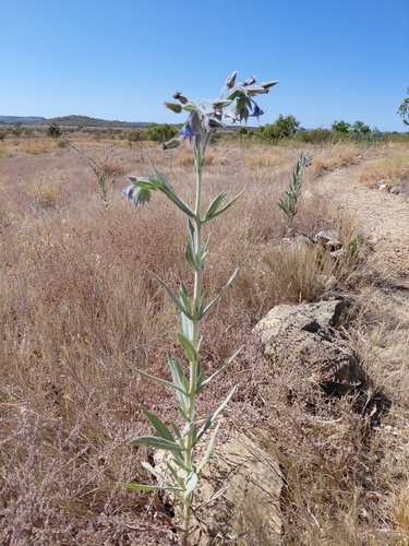
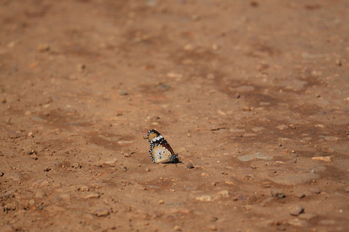
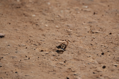
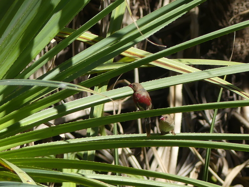
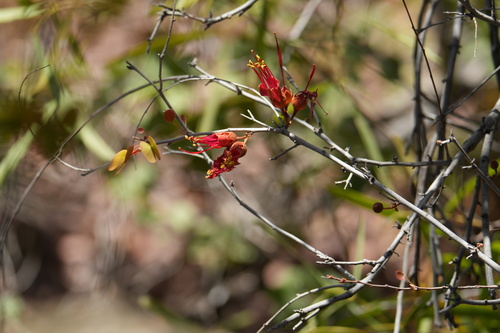
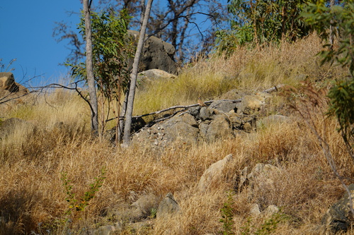
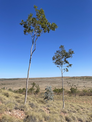
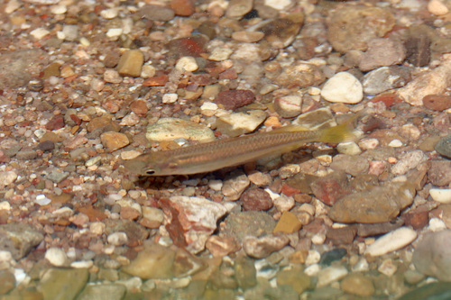
Research-grade observations from iNaturalist (within ~15 mi).
Events
Gallery
Official Identifiers
ABS — Australian Bureau of Statistics
- ASGS 2021
- SAL32440
- Population (Wikidata)
- 6
- Wikidata
- Q30625839
ASGS 2021 ID via Wikidata P10112
Sources
- • Wikipedia
- • Open-Meteo (ERA5 reanalysis)
- • Wikidata
- • Open-Meteo Air Quality (CAMS)
- • USGS Earthquake Catalog (global feed)
- • GBIF (Global Biodiversity Information Facility)
- • iNaturalist
- • Open-Meteo / sunrise-sunset.org
- • Wikipedia Pageviews API
- • Open Library
- • ABS — Australian Bureau of Statistics — ASGS 2021 ID via Wikidata P10112