Browse / Australia / Queensland / Rockhampton
Rockhampton
Queenslandcity

Rockhampton
Founded
1858
Demographic figures from Australian Bureau of Statistics. Overview below cites Wikipedia and may reference a different year.
City facts
Facts from Wikidata (CC0).
Overview
Rockhampton is a city in the Rockhampton Region of Central Queensland, Australia. In the 2021 census, the population of Rockhampton was 79,293. A common nickname for Rockhampton is "Rocky", and the demonym of Rockhampton is Rockhamptonite.
Read more on WikipediaHistory & geography
History
The Capricorn district is the traditional home of the Darumbal Aboriginal people. The Darumbal (Tarumbul, Tharoombool) language region includes the city of Rockhampton extending south towards Raglan Creek and north towards the Styx River and inland along the Broad Sound Ranges. The British colonisation of the area began in 1853, when the Archer brothers, Charles and William, who were seeking grazing lands arrived in the Rockhampton area. They were acting on information from earlier expeditions by Ludwig Leichhardt and Thomas Mitchell, who had explored the area in 1844 and 1846 and noted suitable land for grazing then. In January 1854, the New South Wales government proclaimed two new districts: Port Curtis and Leichhardt, roughly today's Fitzroy Region. In August 1855, the Archer brothers returned to set up their pastoral run at Gracemere. The Fitzroy River provided a convenient waterway for shipping of supplies and produce, and the Archer brothers constructed a wool shed just downstream of a bar of rocks that prevented further upstream navigation from the coast. These rocks were incorporated with the traditional English term for a village, and the name "Rockhampton" was first coined by Charles Archer and the local Commissioner from Crown Lands, William Wiseman. Their father was James Elliot, 3rd Laird of Wolfelee House near Hawick in Scotland. One of their other brothers was Walter Elliot of the East India Company and secretary to the governor of the Madras Presidency. In January 1856, after a massacre of local Aboriginal people perpetrated by Lieutenant John Murray of the Native Police at nearby Nankin Creek, some 200 Aboriginal men, women and children came to Canoona and began shouting at the employees of the Elliots. William Thomas Elliot and his men opened…
Geography
The town lies on the Fitzroy River, approximately from where the river enters the Coral Sea, and some north of the state capital, Brisbane. Rockhampton has a north and south side with three bridges connecting the two sides, one for trains and two for vehicles and people. Rockhampton lies just north of the Tropic of Capricorn in Central Queensland. A sculpture originally marking the latitude was later moved into town to be more accessible to tourists. Although the Tropic of Capricorn is represented on maps as a "dotted line" that lies at 23° 26' 22", there is actually a bio-geographical overlap of Tropical and Temperate zones more than wide; Rockhampton is roughly at its centre on the East Coast of Australia. The city is located on the banks of the Fitzroy River, approximately from the river mouth. The Berserker Range lies on the eastern side of the city, with the Athelstane Range to the west. The coastal area to the east of the city is known as the Capricorn Coast, with the rapidly growing town of Yeppoon its major centre. Rockhampton has a humid subtropical climate (Köppen: Cfa/Cwa) with hot, humid summers and very mild, relatively dry winters with cool nights. The city has 116.3 days of clear skies annually, primarily in winter. The highest recorded temperature in Rockhampton was . The lowest was . The highest recorded 24-hour rainfall total was due to the January 2013 Eastern Australia floods. In summer, Rockhampton is subject to summer thunderstorms. Lying within the cyclone risk zone, it has experienced several large floods cyclones since European settlement. The Fitzroy River has a lengthy, well documented history of flood records dating back to 1859. The highest recorded flood occurred in January 1918, and reached . In the 2010–2011 Queensland floods,…
Excerpted from the corresponding Wikipedia article (CC BY-SA).
Geography
Coordinates & boundaries from the US Census TIGER/Line shapefiles.
Climate
10-year averages from ERA5 reanalysis (Open-Meteo).
Air quality
Walkability
Amenities nearby
Wildlife & biodiversity
Most-observed species
- Rainbow LorikeetTrichoglossus haematodus (Linnaeus, 1771) · Aves1,589
- Magpie-larkGrallina cyanoleuca (Latham, 1802) · Aves1,547
- Australian MagpieGymnorhina tibicen (Latham, 1802) · Aves1,312
- Blue-faced HoneyeaterEntomyzon cyanotis (Latham, 1801) · Aves1,296
- Torresian CrowCorvus orru Bonaparte, 1850 · Aves1,287
- Willie-wagtailRhipidura leucophrys (Latham, 1802) · Aves1,186
- Pied ButcherbirdCracticus nigrogularis (Gould, 1837) · Aves1,154
- Australian IbisThreskiornis molucca (Cuvier, 1829) · Aves1,125
Citizen-science & research observations from the Global Biodiversity Information Facility (GBIF).
Earthquake history
Events from the USGS Earthquake Catalog (global) (FDSN Event Web Service).
Photos
Sights & places nearby
Notable people from here


People born within ~10 km, from Wikidata (CC0). Click any name for their Wikipedia article.
Nearby places in Queensland
- Gracemere5.5 mi away · pop. 11,534
- Kabra9.6 mi away
- Yeppoon22.4 mi away · pop. 18,789
- Mount Larcom42.2 mi away · pop. 238
- Stockyard Point43.3 mi away
- Goovigen54.9 mi away
- Rannes55.8 mi away
- Duaringa58.3 mi away · pop. 192
- Mandu Stud61.1 mi away
- Wurdong Heights65.6 mi away
- Baralaba70.9 mi away · pop. 260
- Wyelangata Homestead71.2 mi away
Geography & sun
Elevation, sunrise/sunset and daylight from Open-Meteo. Solar climatology from NASA POWER.
Nearby airports
Public attention
Pageview totals from the Wikimedia Pageviews API.
Books about Rockhampton
Search results from Open Library.
Recent natural events nearby
Ground air-quality sensors
Recently spotted species
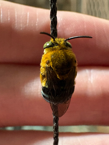
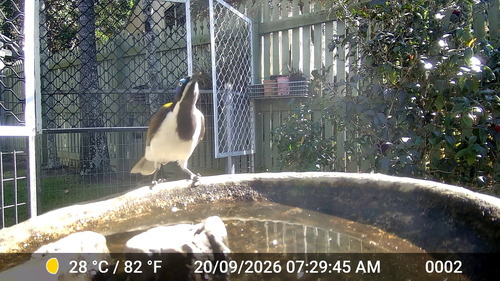
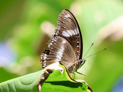
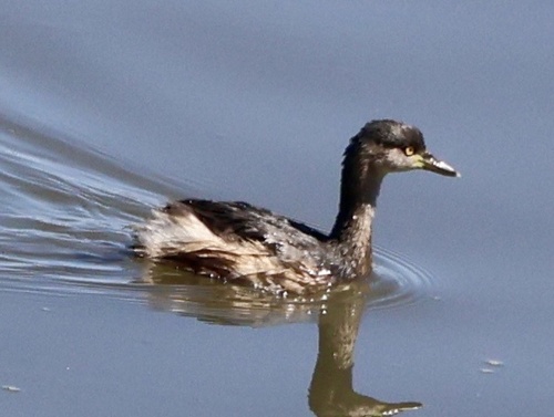
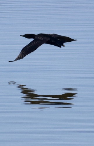
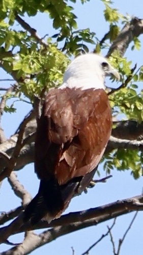
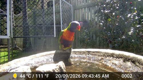
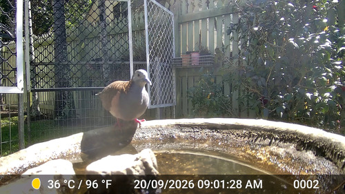
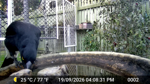
Research-grade observations from iNaturalist (within ~15 mi).
Events
Gallery
Sources
- • Wikipedia
- • Open-Meteo (ERA5 reanalysis)
- • Wikidata
- • USGS Earthquake Catalog (global feed)
- • GBIF (Global Biodiversity Information Facility)
- • iNaturalist
- • Open-Meteo / sunrise-sunset.org
- • Wikipedia Pageviews API
- • Open Library