Browse / Australia / South Australia / Roseworthy
Roseworthy
South Australiavillage

Roseworthy
Total population
987
Demographic figures from Australian Bureau of Statistics. Overview below cites Wikipedia and may reference a different year.
City facts
Facts from Wikidata (CC0).
Overview
Roseworthy is a small town in South Australia, about 10 km north of Gawler on the Horrocks Highway. At the 2016 census, Roseworthy had a population of 994.
Read more on WikipediaHistory & geography
History
The Surveyor General of South Australia visited the site which would become Roseworthy on 13 December 1837. In 1855, land in the Hundred of Mudla Wirra was purchased by William and Grace Gartrell. 12 years later, the now-widowed Mrs Gartrell subdivided the land for a township, naming it Roseworthy after the hamlet of Roseworthy, Cornwall, England, from whence she had originally come. Roseworthy has a semi-arid influenced hot-summer mediterranean climate (Köppen: Csa/BSk) with warm to hot, dry summers and mild, slightly wet winters. On average, the town experiences 105.0 clear days and 122.3 cloudy days per annum. The wettest recorded day was 25 January 1941 with of rainfall. Extreme temperatures ranged from on 24 January 2019 to on 5 August 2020. The original weather station recorded temperature, precipitation, solar exposure, 9 am and 3 pm conditions. It was closed in 1997. A newer weather station was opened in 1997. It records temperature, precipitation and 3 pm conditions.
Excerpted from the corresponding Wikipedia article (CC BY-SA).
Geography
Coordinates & boundaries from the US Census TIGER/Line shapefiles.
Climate
Air quality
Walkability
Amenities nearby
Wildlife & biodiversity
Most-observed species
- Australian MagpieGymnorhina tibicen (Latham, 1802) · Aves1,056
- Crimson RosellaPlatycercus elegans (Gmelin, 1788) · Aves947
- GalahEolophus roseicapilla (Vieillot, 1817) · Aves763
- Crested PigeonOcyphaps lophotes (Temminck, 1822) · Aves700
- Willie-wagtailRhipidura leucophrys (Latham, 1802) · Aves697
- Red WattlebirdAnthochaera carunculata (Shaw, 1790) · Aves676
- White-plumed HoneyeaterPtilotula penicillata (Gould, 1837) · Aves664
- Little RavenCorvus mellori Mathews, 1912 · Aves628
Citizen-science & research observations from the Global Biodiversity Information Facility (GBIF).
Earthquake history
Most recent
- M 3 — 2022-03-293 km ESE of Macclesfield, Australia
- M 4 — 2022-03-053 km SW of Mount Barker, Australia
- M 4.4 — 2020-05-1415 km WSW of Burra, Australia
- M 3.2 — 2018-08-0811 km WNW of Mannum, Australia
- M 3.9 — 2017-02-019 km NW of Murray Bridge, Australia
- M 3.3 — 2011-10-183 km ESE of Hawthorndene, Australia
Events from the USGS Earthquake Catalog (global) (FDSN Event Web Service).
Photos
Sights & places nearby
Notable people from here


People born within ~10 km, from Wikidata (CC0). Click any name for their Wikipedia article.
Nearby places in South Australia
- Shea-Oak Log4.2 mi away
- Greenock11.8 mi away · pop. 1,045
- One Tree Hill12.9 mi away · pop. 543
- Kapunda16.5 mi away · pop. 2,633
- Salisbury17 mi away
- Alma Vale17.9 mi away
- Penrice18 mi away
- Kersbrook18.2 mi away · pop. 417
- St Kilda18.7 mi away · pop. 77
- Middle Beach19.7 mi away
- Inglewood20.1 mi away
- Forreston20.2 mi away · pop. 98
Geography & sun
Elevation, sunrise/sunset and daylight from Open-Meteo. Solar climatology from NASA POWER.
Nearby airports
Public attention
Pageview totals from the Wikimedia Pageviews API.
Books about Roseworthy
Search results from Open Library.
Recent natural events nearby
Ground air-quality sensors
Recently spotted species
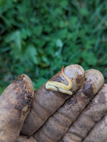
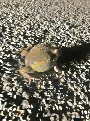
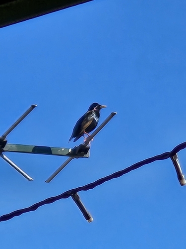
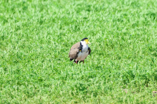
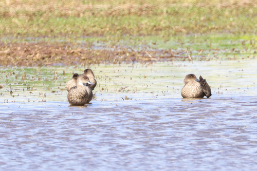
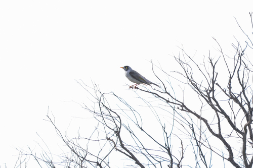
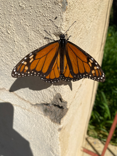
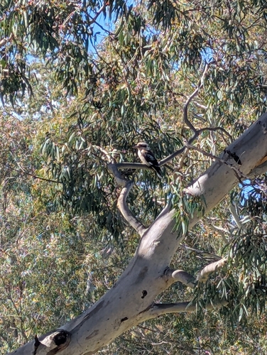
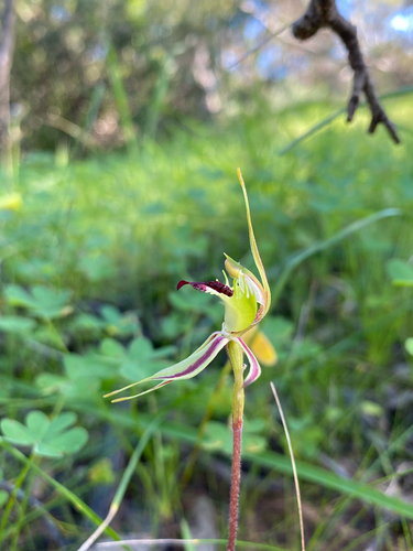
Research-grade observations from iNaturalist (within ~15 mi).
Events
Gallery
Sources
- • Wikipedia
- • Wikidata
- • USGS Earthquake Catalog (global feed)
- • GBIF (Global Biodiversity Information Facility)
- • iNaturalist
- • Open-Meteo / sunrise-sunset.org
- • Wikipedia Pageviews API
- • Open Library