Browse / Australia / Queensland / Sarina
Sarina
Queenslandtown
Demographic figures from Australian Bureau of Statistics. Overview below cites Wikipedia and may reference a different year.
City facts
Facts from Wikidata (CC0).
Overview
Sarina is a rural town and coastal locality in the Mackay Region, Queensland, Australia. In the 2021 census, the locality of Sarina had a population of 5,619. Before being renamed Sarina in 1907, the early township had been called Plane Creek. It is situated on land that was traditionally occupied by the Yuwi people, who spoke Yuwibara language.
Read more on WikipediaHistory & geography
History
Yuwibara (also known as Yuibera, Yuri, Juipera, Yuwiburra) is an Australian Aboriginal language spoken on Yuwibara country. It is closely related to the Biri languages/dialects. The Yuwibara language region includes the landscape within the local government boundaries of the Mackay Region. Sarina was originally known as Plane Creek, but took its present name from the Sarina Inlet which was in turn named after Sarina, the Greek mythological enchantress, by William Charles Borlase Wilson, a surveyor, some time before 1882. Plane Creek Provisional School opened on 5 August 1897. In 1907 it became Plane Creek State School. In 1912 it was renamed Sarina State School. On 31 January 1956 a secondary department was added to the school, which operated until January 1964, when Sarina State High School opened. Plane Creek Upper Provisional School opened in 1900 and closed in 1969. On 1 January 1909 it became Plane Creek Upper State School. In 1928 it was renamed Plane Creek West State School. It closed in 1969. On Sunday 18 October 1908, the church was officially opened by Reverend T. Hely-Wilson. The church was dedicated to St Luke the Evangelist. Hillside State School opened in 1909 and closed circa 1926. Mount Chelona State School opened on 4 September 1933 and closed circa 1941. In 2014, the school celebrated its 50th anniversary. At the , Sarina had a population of 3,285. In the 2011 census, Sarina had a population of 5,730. On 24 October 2014 the former Mount Pelion State School building was moved to Sarina from the Northview State School in Mount Pleasant (where it was relocated in 1987) to be restored as part of the Sarina Art and Craft Centre in Railway Square. In the , the locality of Sarina had a population of 5,522. In the , the locality of Sarina had a…
Geography
Sarina lies just inland of the east coast of Queensland, south of the city of Mackay, and approximately north of the city of Rockhampton. The Bruce Highway passes through the locality from south to north, as does the North Coast railway line. The town of Sarina is located on Plane Creek, which flows into the Coral Sea, but most of the urban development is on the northern side of the creek. The Bruce Highway and the railway line pass through the town, which is served by the Sarina railway station. The neighbourhood of Oonooie lies south of the town () and is the name of a former railway station on the North Coast line, which was named on 29 April 1915, reportedly after a principal clanswoman of that area. The neighbourhood of Mount Convenient lies north of the town () and is the name of a former railway station on the North Coast line, which was named on 30 October 1913 after a nearby peak, Mount Convenient. The neighbourhood of Swayneville lies south-west of the town (). The Goonyella railway line passes along the eastern boundary of the locality towards the Hay Point coal terminal. The Marlborough–Sarina Road enters from the southwest.
Excerpted from the corresponding Wikipedia article (CC BY-SA).
Geography
Coordinates & boundaries from the US Census TIGER/Line shapefiles.
Climate
Air quality
Walkability
Amenities nearby
Wildlife & biodiversity
Most-observed species
- Masked LapwingVanellus miles (Boddaert, 1783) · Aves123
- Torresian CrowCorvus orru Bonaparte, 1850 · Aves122
- Magpie-larkGrallina cyanoleuca (Latham, 1802) · Aves113
- Welcome SwallowHirundo neoxena Gould, 1842 · Aves101
- Australasian FigbirdSphecotheres vieilloti Vigors & Horsfield, 1827 · Aves99
- Rainbow LorikeetTrichoglossus haematodus (Linnaeus, 1771) · Aves88
- Plumed Whistling-DuckDendrocygna eytoni (Eyton, 1838) · Aves87
- Willie-wagtailRhipidura leucophrys (Latham, 1802) · Aves87
Citizen-science & research observations from the Global Biodiversity Information Facility (GBIF).
Earthquake history
Events from the USGS Earthquake Catalog (global) (FDSN Event Web Service).
Photos
Sights & places nearby
Notable people from here

People born within ~10 km, from Wikidata (CC0). Click any name for their Wikipedia article.
Nearby places in Queensland
Geography & sun
Elevation, sunrise/sunset and daylight from Open-Meteo. Solar climatology from NASA POWER.
Nearby airports
Public attention
Pageview totals from the Wikimedia Pageviews API.
Books about Sarina
Search results from Open Library.
Recent natural events nearby
Ground air-quality sensors
Recently spotted species
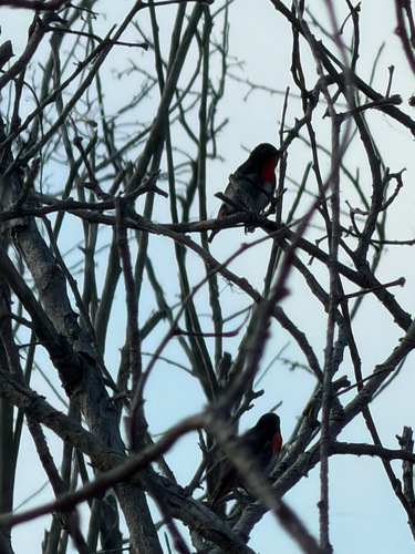
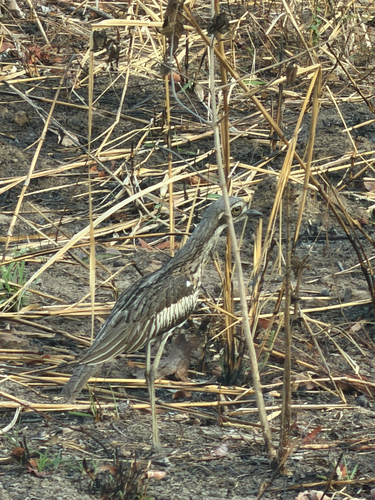
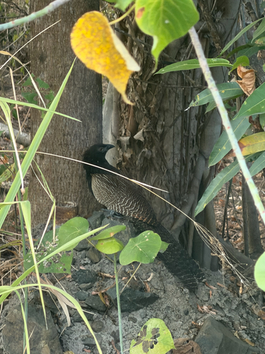
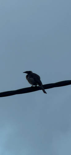
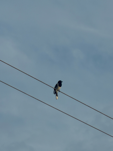
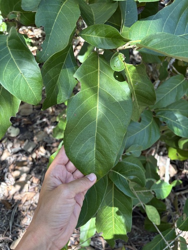
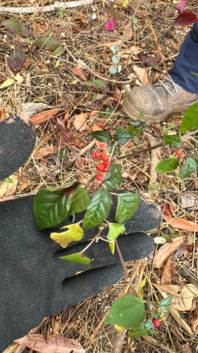
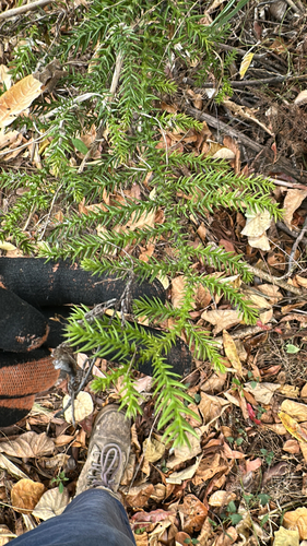
Research-grade observations from iNaturalist (within ~15 mi).
Events
Gallery
Geotagged photos within ~6 miles of Sarina, from Wikimedia Commons contributors.


.jpg)


.jpg)


Photos via Wikimedia Commons — see each image page for license & attribution.
Sources
- • Wikipedia
- • Wikimedia Commons
- • Wikidata
- • USGS Earthquake Catalog (global feed)
- • GBIF (Global Biodiversity Information Facility)
- • iNaturalist
- • Open-Meteo / sunrise-sunset.org
- • Wikipedia Pageviews API
- • Open Library