Browse / Australia / New South Wales / Sofala
Sofala
New South Walesvillage

Sofala
Total population
131
Air quality index
Demographic figures from Australian Bureau of Statistics. Overview below cites Wikipedia and may reference a different year.
City facts
Overview
Sofala is a village in New South Wales, Australia, 255 kilometres (158 mi) north-west of Sydney, within Bathurst Regional Council. It is located beside the Turon River. Sofala is situated near the Bathurst-Ilford Road; only local traffic typically travels through the town. At the 2021 census, Sofala had a population of 111.
Read more on WikipediaHistory & geography
History
Sofala came about as a direct result of the gold rush which had been triggered when Edward Hargraves discovered gold at Summerhill Creek on 12 February 1851. By June of that year, thousands of people had set up mining operations in the valley, and both the Royal Hotel and a general store were built in 1851 to handle the increased demand. Initially, gold was found in the area known as Gold Point on the Turon River. When the alluvial gold ran out, activity switched to quartz reef mining. The town was a centre of opposition to the gold licensing system in New South Wales at the time. A considerable number of the miners were Chinese. Sofala Public School was established in 1878. There was an Anglican church, which was closed in 2019, and a Catholic convent. The Convent opened in 1872 and closed in 1909, although it was a church until 1970. Contemporary attractions include the gold-rush-era Sofala Royal Hotel and the old gaol. Sofala is reportedly the oldest surviving gold-rush town in Australia. Small-scale gold workings are still active in the area, with prospectors using metal detectors, gold pans, and sluice boxes to recover small quantities of gold.
Excerpted from the corresponding Wikipedia article (CC BY-SA).
Geography
Coordinates & boundaries from the US Census TIGER/Line shapefiles.
Climate
Air quality
Current readings from Open-Meteo Air Quality API (Copernicus CAMS European reanalysis).
Walkability
Amenities nearby
Wildlife & biodiversity
Most-observed species
- Serrated Tussock GrassNassella trichotoma (Nees) Hack. & Arechav. · Liliopsida611
- BlackberryRubus fruticosus L. · Magnoliopsida602
- koalaPhascolarctos cinereus (Goldfuss, 1817) · Mammalia223
- Australian MagpieGymnorhina tibicen (Latham, 1802) · Aves181
- Crimson RosellaPlatycercus elegans (Gmelin, 1788) · Aves119
- White-throated TreecreeperCormobates leucophaea (Latham, 1802) · Aves114
- Superb FairywrenMalurus cyaneus (Ellis, 1782) · Aves108
- Pied CurrawongStrepera graculina (Shaw, 1790) · Aves104
Citizen-science & research observations from the Global Biodiversity Information Facility (GBIF).
Earthquake history
Most recent
- M 4.5 — 2026-04-1424 km ENE of Canowindra, Australia
- M 3 — 2020-11-2027 km S of Oberon, Australia
- M 4.2 — 2017-04-1323 km WSW of Millthorpe, Australia
Events from the USGS Earthquake Catalog (global) (FDSN Event Web Service).
Photos
Sights & places nearby
Notable people from here


People born within ~10 km, from Wikidata (CC0). Click any name for their Wikipedia article.
Nearby places in New South Wales
- Kangaroo Flat7.3 mi away
- The Reefs8.2 mi away
- The Black Scrub8.3 mi away
- Warrangunia10.1 mi away
- Maitland Camp12.8 mi away
- Mahoneys Corner14.9 mi away
- Hill End16.2 mi away · pop. 111
- The Round Hole19.6 mi away
- Yarras19.7 mi away
- Billywillinga20 mi away
- Mount Rankin20.6 mi away
- Long Point24.6 mi away · pop. 212
Geography & sun
Elevation, sunrise/sunset and daylight from Open-Meteo. Solar climatology from NASA POWER.
Nearby airports
Public attention
Pageview totals from the Wikimedia Pageviews API.
Books about this place
Recent natural events nearby
Ground air-quality sensors
Recently spotted species
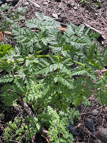
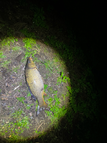
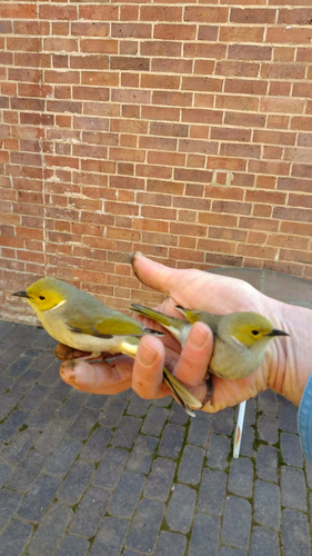
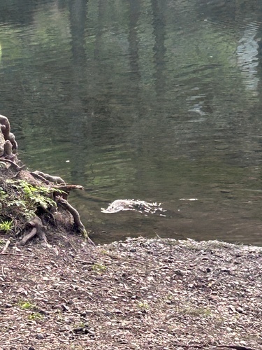

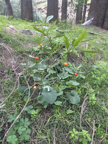
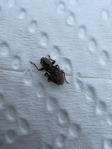
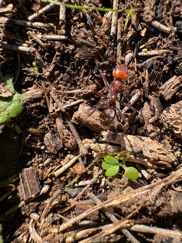
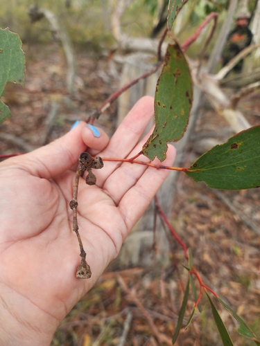
Research-grade observations from iNaturalist (within ~15 mi).
Events
Gallery
Official Identifiers
ABS — Australian Bureau of Statistics
- ASGS 2021
- SAL13585
- Population (Wikidata)
- 111
- Wikidata
- Q7553567
ASGS 2021 ID via Wikidata P10112
Sources
- • Wikipedia
- • Wikidata
- • Open-Meteo Air Quality (CAMS)
- • USGS Earthquake Catalog (global feed)
- • GBIF (Global Biodiversity Information Facility)
- • iNaturalist
- • Open-Meteo / sunrise-sunset.org
- • Wikipedia Pageviews API
- • ABS — Australian Bureau of Statistics — ASGS 2021 ID via Wikidata P10112