Browse / Australia / New South Wales / Sydney
Sydney
New South Walescity

Sydney
Total population
4,698,656
Founded
1788
Air quality index
Demographic figures from Australian Bureau of Statistics. Overview below cites Wikipedia and may reference a different year.
City facts
Sister cities
Facts from Wikidata (CC0).
Overview
Sydney is the capital of the state of New South Wales and the largest city in Australia. The metropolis surrounds Sydney Harbour and extends about 80 kilometres (50 mi) from the Pacific Ocean in the east to the Blue Mountains in the west, and about 80 kilometres (50 mi) from Ku-ring-gai Chase National Park and the Hawkesbury River in the north and north-west, to the Royal National Park and Macarthur in the south and south-west. Greater Sydney consists of 658 suburbs, spread across 33 local government areas. Residents of the city are colloquially known as "Sydneysiders". The estimated population in June 2025 was 5,638,830, which is about 66% of the state's population. The city's nicknames include the Emerald City and the Harbour City.
Read more on WikipediaHistory & geography
History
The first people to inhabit the area now known as Sydney were Aboriginal Australians who had migrated from southeast Asia via northern Australia. Flaked pebbles found in Western Sydney's gravel sediments might indicate human occupation from 45,000 to 50,000 years ago, while radiocarbon dating has shown evidence of human activity in the region from around 30,000 years ago. Prior to the arrival of the British, there were 4,000 to 8,000 Aboriginal people in the greater Sydney region. The earliest British settlers recorded the word 'Eora' as an Aboriginal term meaning either 'people' or 'from this place'. {| class="wikitable mw-collapsible mw-collapsed" |+ class="nowrap" |Aboriginal clans of Sydney area, as recorded by early British settlers !Clan !Territory name !Location |- |Bediagal |Not recorded |Probably north-west of Parramatta |- |Birrabirragal |Birrabirra |Lower Sydney Harbour around Sow and Pigs reef |- |Boolbainora |Boolbainmatta |Parramatta area |- |Borogegal |Booragy |Probably Bradleys Head and surrounding area |- |Boromedegal |Not recorded |Parramatta |- |Buruberongal |Not recorded |North-west of Parramatta |- |Darramurragal |Not recorded |Turramarra area |- |Gadigal |Cadi (Gadi) |South side of Port Jackson, from South Head to Darling Harbour |- |Gahbrogal |Not recorded |Liverpool and Cabramatta area |- |Gamaragal |Cammeray |North shore of Port Jackson |- |Gameygal |Kamay |Botany Bay |- |Gannemegal |Warmul |Parramatta area |- |Garigal |Not recorded |Broken Bay area |- |Gayamaygal |Kayeemy |Manly Cove |- |Gweagal |Gwea |Southern shore of Botany Bay |- |Wallumedegal |Wallumede |North shore of Port Jackson, opposite Sydney Cove |- |Wangal |Wann |South side of Port Jackson, from Darling Harbour to Rose Hill |- | colspan="3" |Clans of the Sydney region whose…
Geography
Sydney is a coastal basin with the Tasman Sea to the east, the Blue Mountains to the west, the Hawkesbury River to the north, and the Woronora Plateau to the south. Sydney spans two geographic regions. The Cumberland Plain lies to the south and west of the Harbour and is relatively flat. The Hornsby Plateau is located to the north and is dissected by steep valleys. The flat areas of the south were the first to be developed; it was not until the construction of the Sydney Harbour Bridge that the northern reaches became more heavily populated. Seventy surf beaches can be found along its coastline, with Bondi Beach being the most famous. The Nepean River wraps around the western edge of the city and becomes the Hawkesbury River before reaching Broken Bay. Most of Sydney's water storages can be found on tributaries of the Nepean River. The Parramatta River is mostly industrial and drains a large area of Sydney's western suburbs into Port Jackson. The southern parts of the city are drained by the Georges River and the Cooks River into Botany Bay. There is no single definition of the boundaries of Sydney. The Australian Statistical Geography Standard definition of Greater Sydney covers , and includes the local government areas of Central Coast in the north, Hawkesbury in the north-west, Blue Mountains in the west, Sutherland Shire in the south, and Wollondilly in the south-west. The local government area of the City of Sydney covers about 26 square kilometres from Garden island in the east to Bicentennial Park in the west, and south to the suburbs of Alexandria and Rosebery. Sydney is made up of mostly Triassic rock with some recent igneous dykes and volcanic necks (typically found in the Prospect dolerite intrusion, west of Sydney). The Sydney Basin was formed in the…
Excerpted from the corresponding Wikipedia article (CC BY-SA).
Geography
Coordinates & boundaries from the US Census TIGER/Line shapefiles.
Climate
10-year averages from ERA5 reanalysis (Open-Meteo).
Air quality
Current readings from Open-Meteo Air Quality API (Copernicus CAMS European reanalysis).
Walkability
Amenities nearby
Wildlife & biodiversity
Most-observed species
- Rainbow LorikeetTrichoglossus haematodus (Linnaeus, 1771) · Aves64,854
- Noisy MinerManorina melanocephala (Latham, 1801) · Aves58,009
- Australian MagpieGymnorhina tibicen (Latham, 1802) · Aves45,685
- Australian IbisThreskiornis molucca (Cuvier, 1829) · Aves39,899
- Pied CurrawongStrepera graculina (Shaw, 1790) · Aves34,007
- Sulphur-crested CockatooCacatua galerita (Latham, 1790) · Aves32,969
- Australian RavenCorvus coronoides Vigors & Horsfield, 1827 · Aves32,612
- Welcome SwallowHirundo neoxena Gould, 1842 · Aves31,703
Citizen-science & research observations from the Global Biodiversity Information Facility (GBIF).
Earthquake history
Most recent
- M 3.6 — 2025-05-283 km WNW of Cobbitty, Australia
- M 3.5 — 2024-03-0814 km SSW of Woodford, Australia
- M 3.2 — 2012-09-1033 km ESE of Blue Bay, Australia
- M 3 — 2007-08-2224 km W of Oakdale, Australia
- M 3.2 — 2007-08-1810 km NW of Mittagong, Australia
- M 2.6 — 2007-08-1811 km NW of Mittagong, Australia
Events from the USGS Earthquake Catalog (global) (FDSN Event Web Service).
Photos
Sights & places nearby
Notable people from here


People born within ~10 km, from Wikidata (CC0). Click any name for their Wikipedia article.
Nearby places in New South Wales
Geography & sun
Elevation, sunrise/sunset and daylight from Open-Meteo. Solar climatology from NASA POWER.
Nearby airports
Public attention
Pageview totals from the Wikimedia Pageviews API.
Books about Sydney

Search results from Open Library.
Recent natural events nearby
Ground air-quality sensors
Recently spotted species
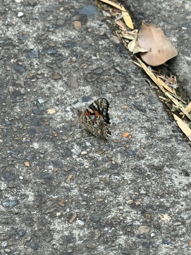
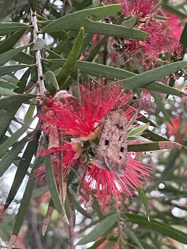
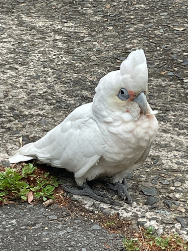
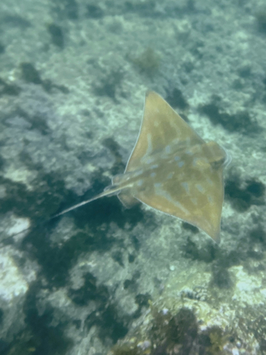
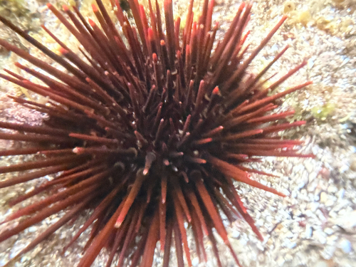
Research-grade observations from iNaturalist (within ~15 mi).
Events
Notable, recurring, and historical events associated with Sydney, sourced from Wikidata.
- Dec 3, 2018
- Swimming at the 2000 Summer Paralympics – Men's 200 metre individual medley SM5Oct 20, 2000sporting event
sports event
- Jan 1, 2000
- Sydney Olympic Arts Festival 2000Jan 1, 2000festival
cultural festival showcasing Australia's creative and performing arts, held in conjunction with the Sydney Olympics in 2000
- 1999 Brownlow MedalJan 1, 1999award ceremony
- Jan 1, 1996
- Battle of the Tech Bandsrecurring event
- Brookvale processionfestival
religious festivals held by the Italian community in Brookvale, Sydney since the 1960s
- Feb 5, 1938
Source: Wikidata (CC0).
Gallery
Geotagged photos within ~6 miles of Sydney, from Wikimedia Commons contributors.


.jpg)
.jpg)
.jpg)
.jpg)
.jpg)
.jpg)


.jpg)
.jpg)

.jpg)
.jpg)
.jpg)

.jpg)
.jpg)
.jpg)
.jpg)
Photos via Wikimedia Commons — see each image page for license & attribution.
Sources
- • Wikipedia
- • Open-Meteo (ERA5 reanalysis)
- • Wikimedia Commons
- • Wikidata
- • Open-Meteo Air Quality (CAMS)
- • USGS Earthquake Catalog (global feed)
- • GBIF (Global Biodiversity Information Facility)
- • iNaturalist
- • Open-Elevation
- • Open-Meteo / sunrise-sunset.org
- • Wikipedia Pageviews API
- • Open Library