Browse / Australia / New South Wales / Tamworth
Tamworth
New South Walescity

Tamworth
Total population
35,415
Founded
1850
Air quality index
Demographic figures from Australian Bureau of Statistics. Overview below cites Wikipedia and may reference a different year.
City facts
Facts from Wikidata (CC0).
Overview
Tamworth is a major regional city and administrative centre of the north-eastern region of New South Wales, Australia. Situated on the Peel River within the local government area of the Tamworth Regional Council, it is the largest and most populated city in the region, with a population of 43,874 in 2021, making it the third largest inland city in New South Wales. Tamworth is 318 km (198 mi) from the Queensland border and is located almost midway between Brisbane and Sydney.
Read more on WikipediaHistory & geography
History
The Kamilaroi people, from whose language comes the word "budgerigar", inhabited the area before European contact. In 1818, John Oxley passed through the Peel Valley and commented, "it would be impossible to find a finer or more luxuriant country than its waters...No place in this world can afford more advantages to the industrious settler than this extensive vale". In 1831, the first sheep stations and cattle stations were formed, and in the same year, the Australian Agricultural Company was granted a lease of of land at Goonoo Goonoo, south of the present location of Tamworth, extending to present-day Calala. In the 1830s, a company town began to develop on the Peel's southwest bank, the present site of West Tamworth. In 1850, a public town was gazetted on the opposite side of the river from the existing settlement. This town became the main town, called "Tamworth" after Tamworth, Staffordshire, represented at the time in parliament by Robert Peel. The town prospered, and was reached by the railway in 1878. but on 9 November 1888, Tamworth became the first location in Australia to have electric street lighting powered by a municipally owned power station, giving the town the title of "First Town of Light". The first record of correctional facilities being established in Tamworth was on 17 December 1864 when the local Police Magistrate was appointed as the Visiting Justice at the Tamworth Gaol. A gaoler and sheriff were appointed in 1868. At the commencement of 1920, there were 11 prisoners detained. During that year, 201 prisoners were received with 183 discharged leaving 29 in prison by 31 December 1920. Almost 20 per cent of the prisoners were aged under 21 years. The Tamworth Gaol ceased to exist on 25 March 1943, and this was ratified by a proclamation from 8…
Geography
Tamworth is located on the western side of the Great Dividing Range, on the banks of the Peel River, about north of Sydney on the New England Highway, and inland from Port Macquarie on the Oxley Highway. The city is situated at a narrow point on the Peel River floodplain, nestled at the base of the Wentworth Mounds, a spur of the Moonbi Range, where the Northwest Slopes rise to the Northern Tablelands. The elevation is around AHD. The Peel River runs southeast to northwest through Tamworth. The main city centre is on the northeast bank, between the river and the Wentworth Mounds, which rise to heights of , towering over the city. The southwest bank is much flatter, and the city's suburbs sprawl to the south. Water for residents and the town's industry is supplied by Chaffey Dam, south east of the city. Urban Tamworth occupies an area of as of 2016. The Tamworth Regional Council area encompasses the suburbs, towns, villages and rural localities of Appleby, Attunga, Banoon, Barraba (part), Barry, Bective, Bendemeer, Bithramere, Borah Creek, Bowling Alley Point, Bundarra (part), Calala, Crawney (part), Daruka, Duncans Creek, Dungowan, Duri, East Tamworth, Garoo, Garthowen, Gidley, Goonoo Goonoo, Gowrie, Gulf Creek (part), Halls Creek, Hallsville, Hanging Rock, Hillvue, Ironbark, Kentucky (part), Kingswood, Klori, Kootingal, Limbri, Lindesay, Longarm, Loomberah, Manilla, Mayvale, Moonbi, Moore Creek, Mulla Creek, Namoi River, Nemingha, New Mexico, Niangala (part), North Tamworth, Nundle, Ogunbil, Oxley Vale, Piallamore, Red Hill, Retreat, Rushes Creek, Somerton, South Tamworth, Taminda, Tamworth, Thirloene, Timbumburi, Tintinhull, Upper Horton (part), Upper Manilla, Wallamore, Warrabah, Warral, Watsons Creek, Weabonga, West Tamworth, Westdale, Wimborne, Winton, Wongo…
Excerpted from the corresponding Wikipedia article (CC BY-SA).
Geography
Coordinates & boundaries from the US Census TIGER/Line shapefiles.
Climate
Air quality
Current readings from Open-Meteo Air Quality API (Copernicus CAMS European reanalysis).
Walkability
Amenities nearby
Wildlife & biodiversity
Most-observed species
- Australian MagpieGymnorhina tibicen (Latham, 1802) · Aves949
- GalahEolophus roseicapilla (Vieillot, 1817) · Aves794
- Magpie-larkGrallina cyanoleuca (Latham, 1802) · Aves691
- Crested PigeonOcyphaps lophotes (Temminck, 1822) · Aves613
- Rainbow LorikeetTrichoglossus haematodus (Linnaeus, 1771) · Aves564
- Superb FairywrenMalurus cyaneus (Ellis, 1782) · Aves559
- Willie-wagtailRhipidura leucophrys (Latham, 1802) · Aves545
- Eastern RosellaPlatycercus eximius (Shaw, 1792) · Aves544
Citizen-science & research observations from the Global Biodiversity Information Facility (GBIF).
Earthquake history
Most recent
- M 4.1 — 2012-06-0822 km ESE of Blair Athol, Australia
- M 4 — 2012-06-0823 km ESE of Blair Athol, Australia
Events from the USGS Earthquake Catalog (global) (FDSN Event Web Service).
Photos
Sights & places nearby
Notable people from here


People born within ~10 km, from Wikidata (CC0). Click any name for their Wikipedia article.
Nearby places in New South Wales
- Long Island12.8 mi away
- Hoads Farm29.5 mi away
- Walcha40 mi away · pop. 1,369
- Branga Swamp41.7 mi away
- Brackendale46.5 mi away
- The Racecourse53.4 mi away
- Black Springs54.5 mi away · pop. 227
- Kellys Plains54.6 mi away · pop. 169
- Ironbark55.2 mi away
- Mummel Gulf56.4 mi away
- Devils Delight58 mi away
- Dicks Hut58.4 mi away
Geography & sun
Elevation, sunrise/sunset and daylight from Open-Meteo. Solar climatology from NASA POWER.
Nearby airports
Public attention
Pageview totals from the Wikimedia Pageviews API.
Books about Tamworth
Search results from Open Library.
Recent natural events nearby
Ground air-quality sensors
Recently spotted species
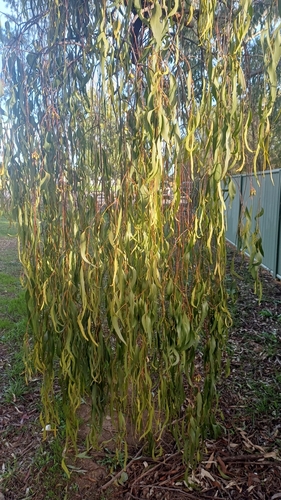
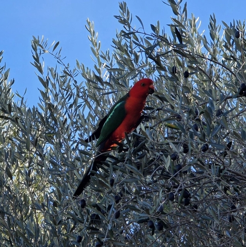
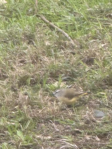
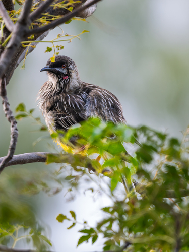
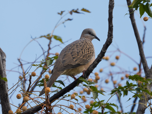
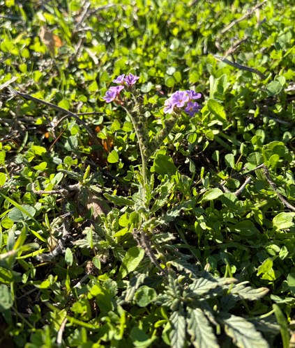
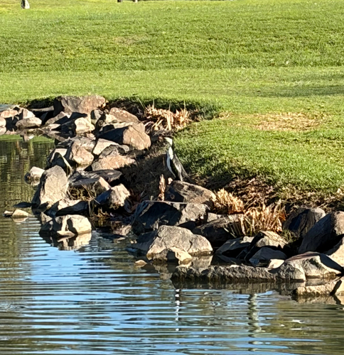
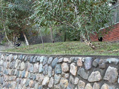
Research-grade observations from iNaturalist (within ~15 mi).
Events
Gallery
Geotagged photos within ~6 miles of Tamworth, from Wikimedia Commons contributors.
 0 mi
0 mi 0.1 mi
 0.1 mi
 0.2 mi
 0.3 mi
 0.3 mi
 0.4 mi
 0.7 mi
 0.7 mi
 0.7 mi
 0.7 mi
 0.7 mi
 0.7 mi
 0.7 mi
 0.7 mi
 0.7 mi
 0.7 mi
 0.7 mi
 0.7 mi
 0.7 mi
 0.7 mi
 0.7 mi
 0.9 mi
 0.9 mi
Photos via Wikimedia Commons — see each image page for license & attribution.
Sources
- • Wikipedia
- • Wikimedia Commons
- • Wikidata
- • Open-Meteo Air Quality (CAMS)
- • USGS Earthquake Catalog (global feed)
- • GBIF (Global Biodiversity Information Facility)
- • iNaturalist
- • Open-Elevation
- • Open-Meteo / sunrise-sunset.org
- • Wikipedia Pageviews API
- • Open Library