Browse / Australia / New South Wales / The Rocks
The Rocks
New South Waleshamlet
Total population
774
Demographic figures from Australian Bureau of Statistics. Overview below cites Wikipedia and may reference a different year.
City facts
Facts from Wikidata (CC0).
Overview
Within New South Wales, Australia, The Rocks stands as a small hamlet. Its coordinates of -33.429°, 149.426° place it in the warm-temperate zone of the southern hemisphere. The population stands at approximately 774. Solar-resource estimates put the area at about 1,830 kWh/m² of solar irradiance per year with sunshine for roughly 72% of daylight hours. Climatically, locations at this latitude tend to experience warm summers and cool winters. Continue scrolling for population, climate, environmental and points-of-interest data drawn from public sources.
Summary composed automatically from structured open data on this page. See our Terms for details.
History & geography
History
The Rocks was established shortly after the colony's formation in 1788. It was known as Tallawoladah by the Cadigal people. The original buildings were first traditional vernacular houses, of wattle and daub, with thatched roofs, and later of local sandstone, from which the area derives its name. By the early 20th century many of the area's historic buildings were in serious decay. In 1900, bubonic plague broke out, and the state government resumed areas around The Rocks and Darling Harbour, with the intention of demolishing them and rebuilding them. During the 1920s, several hundred buildings were demolished during the construction of the Sydney Harbour Bridge. Sydney Cove Redevelopment Authority, with the intention of demolishing most of the original buildings, re-developing them as high-density residential dwellings. In February 1971 a group of local residents formed the Rocks Residents Group to oppose the plans. By 1973 the union had imposed the ban, and after discussions with the Sydney Cove Redevelopment Authority, a 'People's Plan' was developed. By October 1973, it appeared that the redevelopment would proceed as originally planned, using non-union labour. For two weeks, demonstrations by local residents and unionists followed, with numerous arrests being made. Liberal Premier Robert Askin was in the midst of an election campaign, and used the protests as a means of conveying his law and order message to voters. However, the green ban stayed in place until 1975 when the state union leadership was overthrown and was ultimately successful, as can be seen in the buildings that survive today. Instead of demolishing The Rocks, renovations transformed the area into a commercial and tourist precinct.
Excerpted from the corresponding Wikipedia article (CC BY-SA).
Geography
Coordinates & boundaries from the US Census TIGER/Line shapefiles.
Climate
Air quality
Walkability
Amenities nearby
Wildlife & biodiversity
Most-observed species
- Australian MagpieGymnorhina tibicen (Latham, 1802) · Aves2,759
- Zieria obcordata A.Cunn.Zieria obcordata A.Cunn. · Magnoliopsida2,597
- Magpie-larkGrallina cyanoleuca (Latham, 1802) · Aves1,948
- Superb FairywrenMalurus cyaneus (Ellis, 1782) · Aves1,888
- European StarlingSturnus vulgaris Linnaeus, 1758 · Aves1,602
- GalahEolophus roseicapilla (Vieillot, 1817) · Aves1,557
- Crested PigeonOcyphaps lophotes (Temminck, 1822) · Aves1,488
- Pacific Black DuckAnas superciliosa J.F.Gmelin, 1789 · Aves1,412
Citizen-science & research observations from the Global Biodiversity Information Facility (GBIF).
Earthquake history
Most recent
- M 4.5 — 2026-04-1424 km ENE of Canowindra, Australia
- M 3 — 2020-11-2027 km S of Oberon, Australia
- M 4.2 — 2017-04-1323 km WSW of Millthorpe, Australia
- M 4.2 — 2006-10-2148 km ESE of Cowra, Australia
- M 2.7 — 2006-06-3021 km SSE of Cowra, Australia
- M 3.1 — 2005-10-3129 km SSW of Katoomba, Australia
Events from the USGS Earthquake Catalog (global) (FDSN Event Web Service).
Photos
Sights & places nearby
Notable people from here
Nearby places in New South Wales
Geography & sun
Elevation, sunrise/sunset and daylight from Open-Meteo. Solar climatology from NASA POWER.
Nearby airports
Public attention
Pageview totals from the Wikimedia Pageviews API.
Books about The Rocks


Search results from Open Library.
Recent natural events nearby
Ground air-quality sensors
Recently spotted species
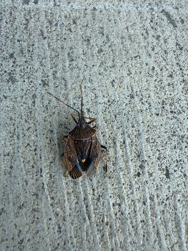
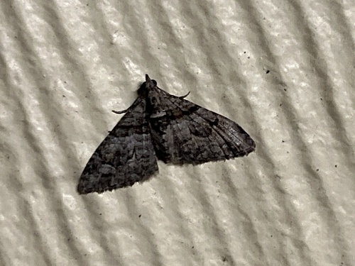
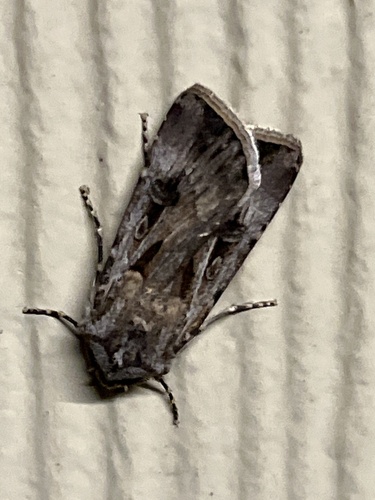
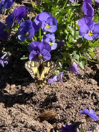
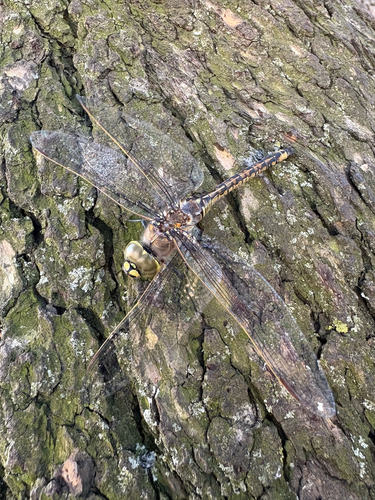
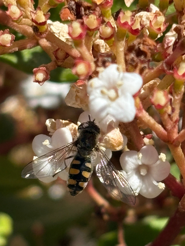
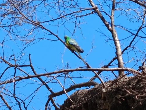
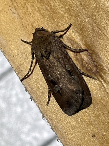
Research-grade observations from iNaturalist (within ~15 mi).
Events
Gallery
Sources
- • Wikipedia
- • Wikidata
- • USGS Earthquake Catalog (global feed)
- • GBIF (Global Biodiversity Information Facility)
- • iNaturalist
- • Open-Meteo / sunrise-sunset.org
- • Wikipedia Pageviews API
- • Open Library