Browse / Australia / Queensland / Theodore
Theodore
Queenslandvillage

Theodore
Total population
451
Demographic figures from Australian Bureau of Statistics. Overview below cites Wikipedia and may reference a different year.
City facts
Facts from Wikidata (CC0).
Overview
Theodore is a rural town and locality in the Shire of Banana, Queensland, Australia. It was established in the 1920s as part of Queensland Premier Ted Theodore's ambitious Dawson River Irrigation Scheme which failed to materialize. It was originally known as Castle Creek, but that name is now used by another locality in the area.
Read more on WikipediaHistory & geography
History
The Aboriginal inhabitants of the area were the Gangulu people. Gangalu (Gangulu, Kangulu, Kanolu, Kaangooloo, Khangulu) is an Australian Aboriginal language spoken on Gangula country. The Gangula language region includes the towns of Clermont and Springsure extending south towards the Dawson River. The first European settler in the district was Joseph Thompson who amassed a number of pastoral leases from 1850 to his death in 1857, including Oxtrack Creek, Okangal, Coteeda, Delusion Creek, Macoom, Hope, Thalba and Woolthorpe. He entered a partnership with James Reid who acquired the Boam run and acquired Thompson's runs after his death and then acquired further runs, before beginning to sell out to new settlers. In 1864 a town called Woolthorpe was surveyed and town lots offered for sale, but few were sold and no town developed at that time. This comment about transport followed Minister Bell's earlier criticism of the condition of the roads west of Gladstone which were the responsibility of the Banana Shire and the Taroom Shire. The idea of a major irrigation scheme involving the Dawson River continued to be considered by the Queensland Parliament over a number of years. However, it was not until February 1920, that the Premier of Queensland Ted Theodore announced his support for a Dawson River irrigation scheme. Later that year, in September 1920, Ted Theodore announced that a dam would be built at The Gorge on the Dawson River () enabling of fertile land to be created through irrigation along of the Dawson River. The irrigated area would be organised into five zones: Isla, Castle Creek (later Theodore), Huon, Moura and Coolibah, with each zone having a central township. In 1922, it was announced that the gorge and the dam would both be named after Matthew…
Geography
Theodore is situated on the Dawson River just off the Leichhardt Highway north-west of the state capital, Brisbane. Castle Creek flows through the town and into the Dawson River immediately south of the town centre. Theodore has a humid subtropical climates (Köppen: Cfa), with hot, wet summers and mild, dry winters with cool nights. Average maxima vary from in December to in July while average minima fluctuate between in January and February and in July. Mean average annual precipitation is moderate: , but is highly concentrated during the summer. Rainfall is spread across 53.1 precipitation days (above the threshold), and the town experiences 86.7 clear days and 44.8 cloudy days per annum. Extreme temperatures have ranged from on 28 January 1990 to on 6 July 1982. Sunshine data was sourced from Brigalow Research Station, which is northwest of Theodore.
Excerpted from the corresponding Wikipedia article (CC BY-SA).
Geography
Coordinates & boundaries from the US Census TIGER/Line shapefiles.
Climate
Air quality
Walkability
Amenities nearby
Wildlife & biodiversity
Most-observed species
- Torresian CrowCorvus orru Bonaparte, 1850 · Aves44
- Magpie-larkGrallina cyanoleuca (Latham, 1802) · Aves40
- Willie-wagtailRhipidura leucophrys (Latham, 1802) · Aves31
- Australian MagpieGymnorhina tibicen (Latham, 1802) · Aves29
- Sulphur-crested CockatooCacatua galerita (Latham, 1790) · Aves25
- Blue-winged KookaburraDacelo leachii Vigors & Horsfield, 1827 · Aves24
- Crested PigeonOcyphaps lophotes (Temminck, 1822) · Aves24
- GalahEolophus roseicapilla (Vieillot, 1817) · Aves23
Citizen-science & research observations from the Global Biodiversity Information Facility (GBIF).
Earthquake history
Events from the USGS Earthquake Catalog (global) (FDSN Event Web Service).
Photos
Sights & places nearby
Notable people from here


People born within ~10 km, from Wikidata (CC0). Click any name for their Wikipedia article.
Nearby places in Queensland
- Mandu Stud52 mi away
- Baralaba55.5 mi away · pop. 260
- Bauhinia55.6 mi away · pop. 28
- Goovigen56.9 mi away
- Rannes58.5 mi away
- Abercorn67.2 mi away
- Woorabinda68.4 mi away · pop. 1,019
- Eidsvold71.7 mi away · pop. 426
- Many Peaks85.7 mi away
- Mundubbera88.4 mi away · pop. 1,066
- Duaringa88.5 mi away · pop. 192
- Binjour94.7 mi away
Geography & sun
Elevation, sunrise/sunset and daylight from Open-Meteo. Solar climatology from NASA POWER.
Nearby airports
Public attention
Pageview totals from the Wikimedia Pageviews API.
Books about Theodore
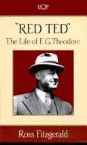
Search results from Open Library.
Recent natural events nearby
Ground air-quality sensors
Recently spotted species
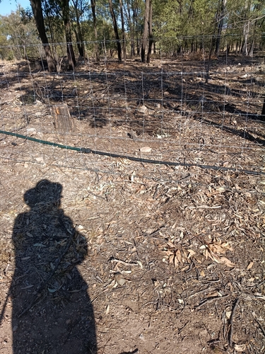
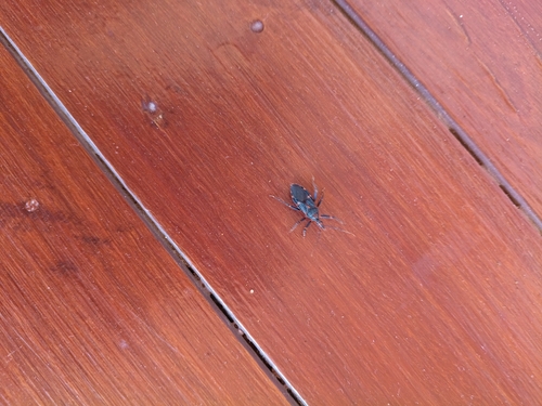
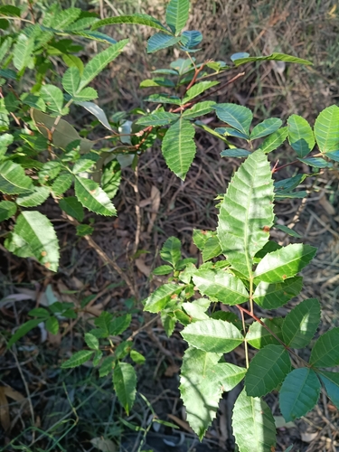
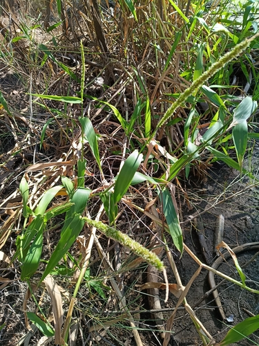
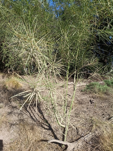
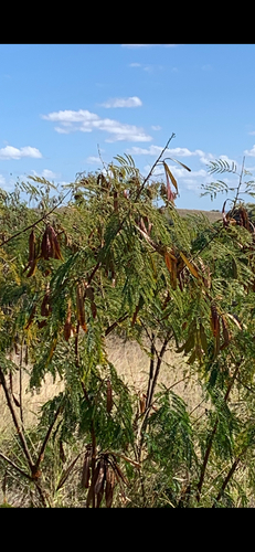
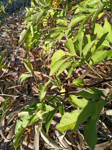
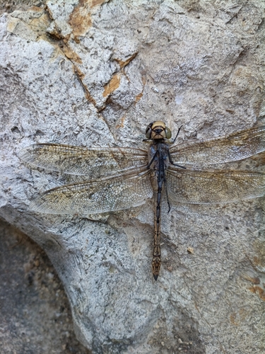
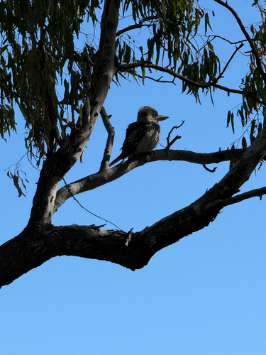
Research-grade observations from iNaturalist (within ~15 mi).
Events
Gallery
Sources
- • Wikipedia
- • Wikidata
- • USGS Earthquake Catalog (global feed)
- • GBIF (Global Biodiversity Information Facility)
- • iNaturalist
- • Open-Meteo / sunrise-sunset.org
- • Wikipedia Pageviews API
- • Open Library