Browse / Australia / New South Wales / Tuncurry
Tuncurry
New South Walestown

Tuncurry
Total population
6,376
Demographic figures from Australian Bureau of Statistics. Overview below cites Wikipedia and may reference a different year.
City facts
Overview
Tuncurry is a coastal town in the Mid North Coast region of New South Wales, Australia, in the Mid-Coast Council LGA, about 307 km (191 mi) north north east of Sydney. It is immediately adjacent to its twin town of Forster, which is the larger of the two towns.
Read more on WikipediaHistory & geography
History
In 1875, John Wright was the first white settler in Tuncurry. The first land grant in this area was in 1875. The settlement was originally called North Shore and then North Forster and was renamed Tuncurry meaning "plenty of fish" in 1891 and then proclaimed a village in 1893. The area was well known in the early days for its timber cutting and sawmills. Timber was collected from the lakes and rivers by the logpunts (droghers). A bridge over the Coolongolook River that marks the entrance to Wallis Lake was built in 1959 linking Forster and Tuncurry and replacing the punt service that had operated since 1890.
Excerpted from the corresponding Wikipedia article (CC BY-SA).
Geography
Coordinates & boundaries from the US Census TIGER/Line shapefiles.
Climate
Air quality
Walkability
Amenities nearby
Wildlife & biodiversity
Earthquake history
Photos
Sights & places nearby
Notable people from here

People born within ~10 km, from Wikidata (CC0). Click any name for their Wikipedia article.
Nearby places in New South Wales
Geography & sun
Elevation, sunrise/sunset and daylight from Open-Meteo. Solar climatology from NASA POWER.
Nearby airports
Public attention
Pageview totals from the Wikimedia Pageviews API.
Books about this place
Recent natural events nearby
Ground air-quality sensors
Recently spotted species
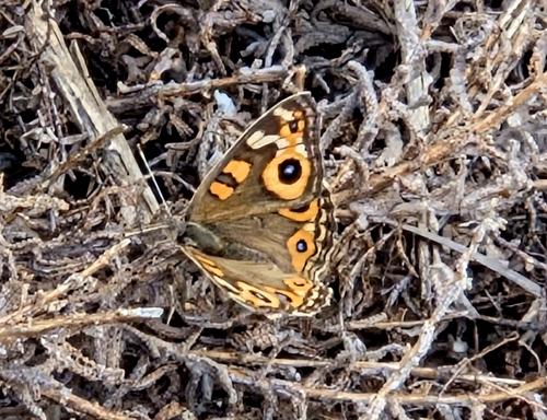
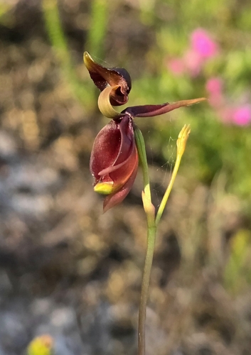
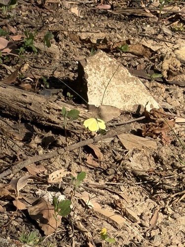
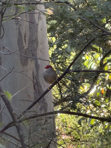
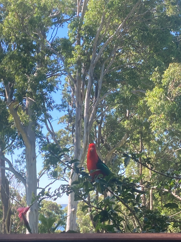
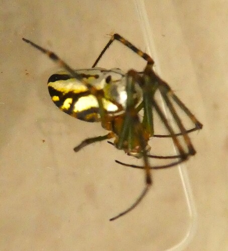
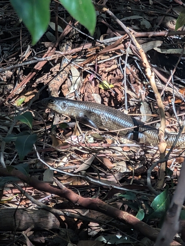
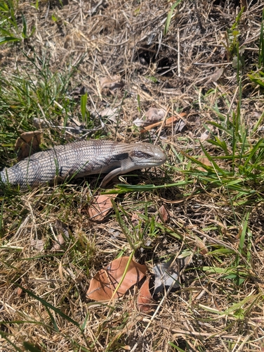
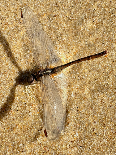
Research-grade observations from iNaturalist (within ~15 mi).
Events
Gallery
Official Identifiers
ABS — Australian Bureau of Statistics
- ASGS 2021
- SAL13987
- Population (Wikidata)
- 6,186
- Wikidata
- Q9362668
ASGS 2021 ID via Wikidata P10112
Sources
- • Wikipedia
- • Wikidata
- • iNaturalist
- • Open-Meteo / sunrise-sunset.org
- • Wikipedia Pageviews API
- • ABS — Australian Bureau of Statistics — ASGS 2021 ID via Wikidata P10112