Browse / Australia / New South Wales / Urunga
Urunga
New South Walestown

Urunga
Total population
2,731
Demographic figures from Australian Bureau of Statistics. Overview below cites Wikipedia and may reference a different year.
City facts
Facts from Wikidata (CC0).
Overview
Urunga is a small town located within the Mid North Coast region of New South Wales, Australia, in Bellingen Shire. It is famous for its surf spots. At the 2021 census, Urunga had a population of 3,185. The town is south of Coffs Harbour and Sawtell and north of Nambucca Heads. The place name is derived from the Gumbaynggir word Yurūnga, which is derived from the word for long yurūn in reference to "long white sands".
Read more on WikipediaHistory & geography
History
Urunga is a fishing ground, with bream being the main sport fish. The Urunga boardwalk, leading over the tidal Urunga Lagoon then out to the beach, was rebuilt in 1988 and extended in 1991. The full boardwalk was completed in 2007. In November 2010, a further section of boardwalk was completed. This extension finishes at the mouth of the river and has taken the length of the boardwalk to almost . Hungry Head, to the south is the only patrolled beach in Urunga. On 8 December 2017, the Federal Court of Australia determined that the Gumbaynggirr People have native title rights and interests over an area of land and waters at Wenonah Head, near Urunga. This determination resolved the oldest native title claim in New South Wales.
Geography
There are two main streets, and both a bowling club and a golf club. A weekly 6-a-side soccer competition is held on Thursdays at the Oval on Morgo Street, colloquially known as the Cabbage Patch or simply 'The Patch'.
Excerpted from the corresponding Wikipedia article (CC BY-SA).
Geography
Coordinates & boundaries from the US Census TIGER/Line shapefiles.
Climate
10-year averages from ERA5 reanalysis (Open-Meteo).
Air quality
Walkability
Amenities nearby
Wildlife & biodiversity
Most-observed species
- Lewin's HoneyeaterMeliphaga lewinii (Swainson, 1837) · Aves3,971
- Rainbow LorikeetTrichoglossus haematodus (Linnaeus, 1771) · Aves3,923
- koalaPhascolarctos cinereus (Goldfuss, 1817) · Mammalia3,855
- Laughing KookaburraDacelo novaeguineae (Hermann, 1783) · Aves3,078
- Australian MagpieGymnorhina tibicen (Latham, 1802) · Aves2,941
- Magpie-larkGrallina cyanoleuca (Latham, 1802) · Aves2,648
- Eastern Yellow RobinEopsaltria australis (Shaw, 1790) · Aves2,532
- Torresian CrowCorvus orru Bonaparte, 1850 · Aves2,515
Citizen-science & research observations from the Global Biodiversity Information Facility (GBIF).
Earthquake history
Events from the USGS Earthquake Catalog (global) (FDSN Event Web Service).
Photos
Sights & places nearby
Notable people from here

People born within ~10 km, from Wikidata (CC0). Click any name for their Wikipedia article.
Nearby places in New South Wales
Geography & sun
Elevation, sunrise/sunset and daylight from Open-Meteo. Solar climatology from NASA POWER.
Nearby airports
Public attention
Pageview totals from the Wikimedia Pageviews API.
Books about Urunga
Search results from Open Library.
Recent natural events nearby
Ground air-quality sensors
Recently spotted species
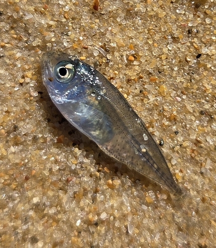
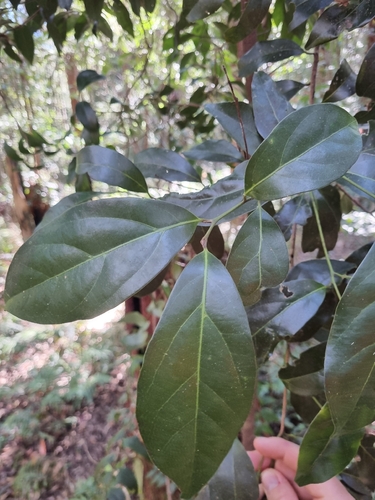
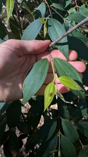
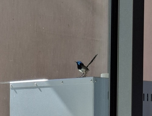
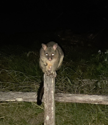
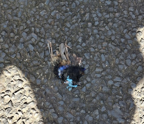
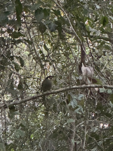
Research-grade observations from iNaturalist (within ~15 mi).
Events
Gallery
Geotagged photos within ~6 miles of Urunga, from Wikimedia Commons contributors.
 0.3 mi
.jpg) 0.3 mi
0.3 mi.jpg) 0.3 mi
0.3 mi 0.4 mi
 0.6 mi
 0.6 mi
 0.6 mi
_(26145683618).jpg) 0.6 mi
0.6 mi 0.7 mi
.jpg) 0.8 mi
0.8 mi 1 mi
1 mi 1 mi
1 mi.T._Macbr_317958.jpg) 1.6 mi
1.6 mi.T._Macbr_317957.jpg) 1.6 mi
1.6 mi.T._Macbr_317956.jpg) 1.6 mi
1.6 mi.jpg) 2.8 mi
2.8 mi 3 mi
3 mi.jpg) 3.2 mi
3.2 mi.jpg) 3.2 mi
3.2 mi.jpg) 4.3 mi
4.3 mi.jpg) 4.4 mi
4.4 mi_(1).jpg) 4.4 mi
4.4 mi 4.5 mi
 4.5 mi
Photos via Wikimedia Commons — see each image page for license & attribution.
Sources
- • Wikipedia
- • Open-Meteo (ERA5 reanalysis)
- • Wikimedia Commons
- • Wikidata
- • USGS Earthquake Catalog (global feed)
- • GBIF (Global Biodiversity Information Facility)
- • iNaturalist
- • Open-Meteo / sunrise-sunset.org
- • Wikipedia Pageviews API
- • Open Library