Browse / Australia / New South Wales / Wagga Wagga
Wagga Wagga
New South Walescity

Wagga Wagga
Total population
49,686
Founded
1829
Air quality index
Demographic figures from Australian Bureau of Statistics. Overview below cites Wikipedia and may reference a different year.
City facts
Sister cities
Facts from Wikidata (CC0).
Overview
Wagga Wagga is a major regional city in the Riverina region of New South Wales, Australia. Straddling the Murrumbidgee River, with an urban population of more than 57,003 as of 2021, it is an important agricultural, military, and transport hub of Australia. The ninth largest inland city in Australia, Wagga Wagga is located midway between the two largest cities in Australia—Sydney and Melbourne—and is the major regional centre for the Riverina and South West Slopes regions.
Read more on WikipediaHistory & geography
History
The original inhabitants of the Wagga Wagga region, who maintain a relationship with the area to this day, are the Wiradjuri people and the word wagga in the Wiradjuri language was thought to mean 'crow', so wagga wagga could be taken to mean 'the place of many crows'. Other interpretations had wagga to mean 'reeling' (a sick man or a dizzy man); 'to dance, slide or grind'. In August 2019, the City of Wagga Wagga dropped the definition 'crow' and adopted the city's Aboriginal meaning as 'dance and celebrations'. The new meaning was officially enshrined in the city's first Reconciliation Action Plan. European exploration of the future site of Wagga Wagga began in 1829 with the arrival of Captain Charles Sturt during his expedition along the Murrumbidgee River. Settlers arrived shortly thereafter with Charles Tompson establishing the Eunonyhareenyha 'run' in 1832 on the north bank of the river, and also in 1832 the Wagga Wagga 'run' established by Robert Holt Best (died September 1853), on the south bank. Other settlers followed, all squatting illegally, but by 1836 the colonial government regulated the tenure of land and established a licensing scheme. Within a few years settlers' numbers increased greatly and before 1850 a local bench of magistrates and a place for holding petty sessions was established. The beginnings of a village formed near the ford used by most traffic passing through the area and included a crude blacksmith's shop, a hotel, and a post office. By 1849 the town was marked out by surveyor Thomas Scott Townsend and formally gazetted as a village. Wagga Wagga grew quickly, reaching a population of 627 in 1861 and during that decade a number of hotels and stores opened, as well as professional services in the form of banks, solicitors, doctors and…
Geography
Wagga Wagga is at the eastern end of the Riverina region where the slopes of the Great Dividing Range flatten and form the Riverina plain. Wagga straddles the Murrumbidgee River, one of the great rivers of the Murray–Darling basin, and the city centre is on the southern bank, protected by a levee from potential flooding. Wagga sits halfway between the largest cities in Australia, being 452 kilometres southwest of Sydney and 456 kilometres northeast of Melbourne with the Sydney–Melbourne railway line passing through. The Sturt Highway, part of Australia's National Highway network, passes through Wagga on its way from Adelaide to its junction with the main Sydney–Melbourne route, the Hume Highway, a further 45 kilometres east. This location astride some of Australia's major transport routes has made Wagga Wagga an important heavy truck depot for a number of companies, including Toll Group. Wagga Wagga itself is the major regional centre for the Riverina and for much of the South West Slopes regions, providing education, health and other services to a region extending as far as Griffith to the west, Cootamundra to the north and Tumut to the east. Wagga Wagga is upstream from the Riverina plain in the mid-catchment range of the Murrumbidgee River in an alluvial valley confined by low bedrock hills. Much of Wagga Wagga is on heavy clay soils in a large drainage basin with a small catchment discharge point. Groundwater therefore cannot leave easily, leading to Wagga Wagga having a problem with waterlogged soil and soil salination. Urban salination in Wagga Wagga is now the subject of a large multi-pronged approach to prevent further salination and reclaim salt-affected areas. The location of Wagga Wagga's Central business district was already well established by the late…
Excerpted from the corresponding Wikipedia article (CC BY-SA).
Geography
Coordinates & boundaries from the US Census TIGER/Line shapefiles.
Climate
Air quality
Current readings from Open-Meteo Air Quality API (Copernicus CAMS European reanalysis).
Walkability
Amenities nearby
Wildlife & biodiversity
Most-observed species
- Australian MagpieGymnorhina tibicen (Latham, 1802) · Aves2,323
- GalahEolophus roseicapilla (Vieillot, 1817) · Aves1,945
- Sulphur-crested CockatooCacatua galerita (Latham, 1790) · Aves1,797
- Magpie-larkGrallina cyanoleuca (Latham, 1802) · Aves1,749
- Superb FairywrenMalurus cyaneus (Ellis, 1782) · Aves1,508
- White-plumed HoneyeaterPtilotula penicillata (Gould, 1837) · Aves1,386
- Red WattlebirdAnthochaera carunculata (Shaw, 1790) · Aves1,266
- Maned DuckChenonetta jubata (Latham, 1801) · Aves1,259
Citizen-science & research observations from the Global Biodiversity Information Facility (GBIF).
Earthquake history
Most recent
- M 3.9 — 2004-02-2816 km SSE of Junee, Australia
- M 3.3 — 2003-07-1115 km WNW of Cootamundra, Australia
- M 2.5 — 2003-07-1115 km WNW of Cootamundra, Australia
- M 2.6 — 2002-10-2311 km SW of Batlow, Australia
- M 2.9 — 2001-10-259 km NE of Tumut, Australia
Events from the USGS Earthquake Catalog (global) (FDSN Event Web Service).
Photos
Sights & places nearby
Notable people from here


People born within ~10 km, from Wikidata (CC0). Click any name for their Wikipedia article.
Nearby places in New South Wales
Geography & sun
Elevation, sunrise/sunset and daylight from Open-Meteo. Solar climatology from NASA POWER.
Nearby airports
Public attention
Pageview totals from the Wikimedia Pageviews API.
Books about Wagga Wagga
Search results from Open Library.
Recent natural events nearby
Ground air-quality sensors
Recently spotted species
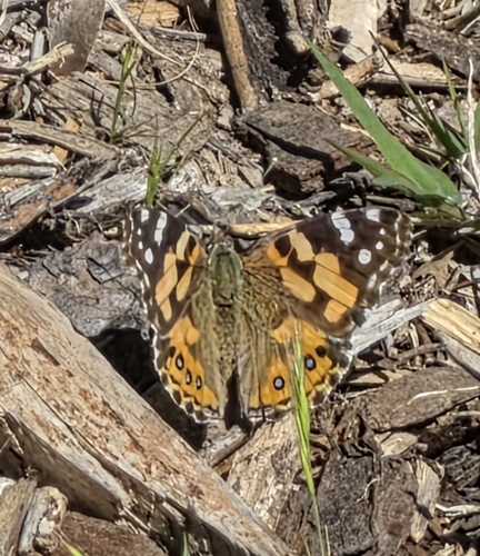
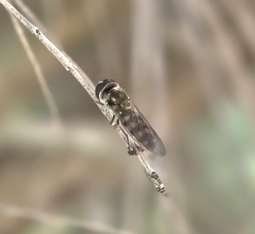
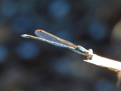
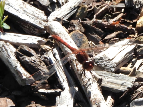
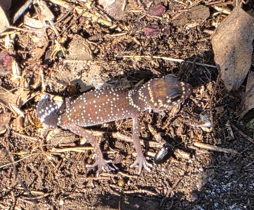
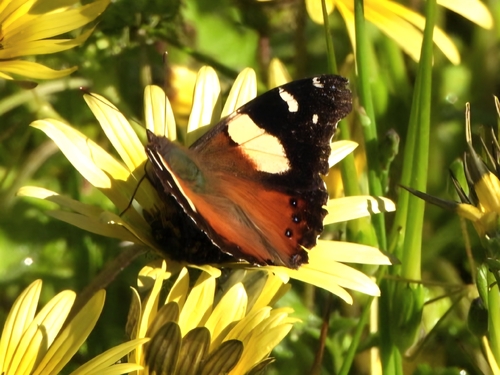
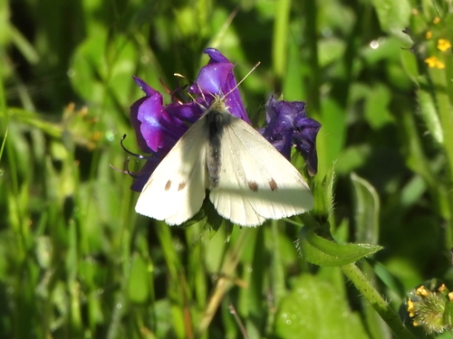
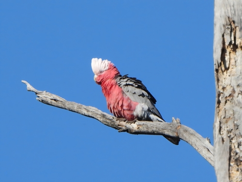
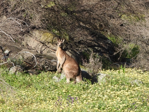
Research-grade observations from iNaturalist (within ~15 mi).
Events
Gallery
Geotagged photos within ~6 miles of Wagga Wagga, from Wikimedia Commons contributors.
 0.1 mi
 0.1 mi
 0.1 mi
 0.1 mi
 0.1 mi
 0.1 mi
 0.1 mi
 0.1 mi
 0.1 mi
 0.1 mi
.jpg) 0.1 mi
0.1 mi_1.jpg) 0.1 mi
0.1 mi_2.jpg) 0.1 mi
0.1 mi 0.1 mi
.jpg) 0.1 mi
0.1 mi.jpg) 0.1 mi
0.1 mi 0.1 mi
 0.1 mi
 0.1 mi
_(maxim752)_2025-01-29_00H47M00S000.jpg) 0.1 mi
0.1 mi_(maxim752)_2025-01-29_00H47M00S000.jpg) 0.1 mi
0.1 mi_(maxim752)_2025-01-29_00H47M00S000.jpg) 0.1 mi
0.1 mi_(maxim752)_2025-01-29_00H47M00S000.jpg) 0.1 mi
0.1 mi_(maxim752)_2025-01-29_00H47M01S000.jpg) 0.1 mi
0.1 miPhotos via Wikimedia Commons — see each image page for license & attribution.
Sources
- • Wikipedia
- • Wikimedia Commons
- • Wikidata
- • Open-Meteo Air Quality (CAMS)
- • USGS Earthquake Catalog (global feed)
- • GBIF (Global Biodiversity Information Facility)
- • iNaturalist
- • Open-Elevation
- • Open-Meteo / sunrise-sunset.org
- • Wikipedia Pageviews API
- • Open Library