Browse / Australia / Victoria / Whitfield
Whitfield
Victoriavillage

Whitfield
Total population
215
Demographic figures from Australian Bureau of Statistics. Overview below cites Wikipedia and may reference a different year.
City facts
Overview
Whitfield is a viticultural, tourist township in the King Valley in north-eastern Victoria.
Read more on WikipediaHistory & geography
History
Pastoral runs were established in the area in the 1840s but population was small until the 1870s, the Post Office opening on 1 May 1874 as Upper King River and being renamed Whitfield in 1889. The name Whitfield is believed to come from the name of a pastoral run Whitefields. In the early 1900s Whitfield was the site of a Government experimental farm growing tobacco and hops. After World War II many European immigrants settled in the area and grew tobacco. Commencing in the 1980's many of the tobacco farms converted to vineyards and today Whitfield hosts many independent wineries including Dal Zotto, (famed for the introduction of Prosecco in Australia), Pizzini, Darling Estate, and the Politini and Chrismont wineries in nearby Cheshunt. Many wineries along the Oxley to Cheshunt Road, colloquially known as "Prosecco Road", offer their own Prosseco. There is also the King River Brewery located approximately 4 km before Whitfield. The area holds a number of wine and culinary events throughout the year. Tragedy struck the township when the only general store in town (which had recently been taken over by new owners) was destroyed in a fire early in 2013.
Excerpted from the corresponding Wikipedia article (CC BY-SA).
Geography
Coordinates & boundaries from the US Census TIGER/Line shapefiles.
Climate
Air quality
Walkability
Amenities nearby
Wildlife & biodiversity
Most-observed species
- Gray FantailRhipidura albiscapa Gould, 1840 · Aves293
- Yellow-faced HoneyeaterCaligavis chrysops (Latham, 1801) · Aves274
- Gray ShrikethrushColluricincla harmonica (Latham, 1802) · Aves205
- Crimson RosellaPlatycercus elegans (Gmelin, 1788) · Aves197
- Golden WhistlerPachycephala pectoralis (Latham, 1802) · Aves194
- Superb FairywrenMalurus cyaneus (Ellis, 1782) · Aves187
- White-browed ScrubwrenSericornis frontalis (Vigors & Horsfield, 1827) · Aves184
- White-throated TreecreeperCormobates leucophaea (Latham, 1802) · Aves174
Citizen-science & research observations from the Global Biodiversity Information Facility (GBIF).
Earthquake history
Most recent
- M 3.9 — 2024-08-0634 km SSW of Mount Buller, Australia
- M 4.4 — 2023-06-2934 km SSW of Mount Buller, Australia
- M 4.1 — 2021-09-2135 km SSW of Mount Buller, Australia
- M 5.9 — 2021-09-2139 km S of Mount Buller, Australia
- M 3.2 — 2013-06-2224 km SE of Benalla, Australia
- M 2.8 — 2010-01-0839 km N of Briagolong, Australia
Events from the USGS Earthquake Catalog (global) (FDSN Event Web Service).
Photos
Sights & places nearby
Notable people from here
Nearby places in Victoria
Geography & sun
Elevation, sunrise/sunset and daylight from Open-Meteo. Solar climatology from NASA POWER.
Nearby airports
Public attention
Pageview totals from the Wikimedia Pageviews API.
Books about Whitfield


Search results from Open Library.
Recent natural events nearby
Ground air-quality sensors
Recently spotted species
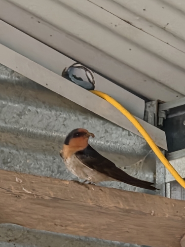
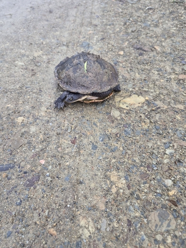
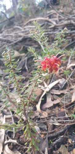
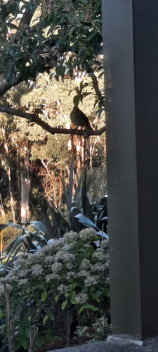
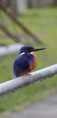
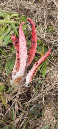
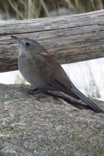
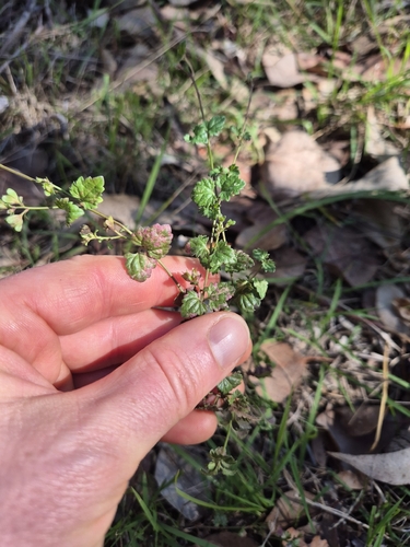
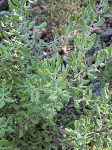
Research-grade observations from iNaturalist (within ~15 mi).
Events
Gallery
Sources
- • Wikipedia
- • Wikidata
- • USGS Earthquake Catalog (global feed)
- • GBIF (Global Biodiversity Information Facility)
- • iNaturalist
- • Open-Meteo / sunrise-sunset.org
- • Wikipedia Pageviews API
- • Open Library