Browse / Australia / Queensland / Winton
Winton
Queenslandtown

Winton
Total population
856
Air quality index
Demographic figures from Australian Bureau of Statistics. Overview below cites Wikipedia and may reference a different year.
City facts
Facts from Wikidata (CC0).
Overview
Winton is an outback town and locality in the Shire of Winton in Central West Queensland, Australia. It is 177 kilometres (110 mi) northwest of Longreach. The main industries of the area are sheep and cattle raising. The town was named in 1876 by postmaster Robert Allen, after his place of birth, Winton, Dorset. Winton was the first home of the airline Qantas. In the 2021 census, the locality of Winton had a population of 856 people.
Read more on WikipediaHistory & geography
History
The traditional owners of the Winton area, the Koa people, consider Bladensburg National Park area (near Winton) to be a special part of their traditional country, and the park is also important to the Maiawali and Karuwali people. Jirandali (also known as Yirandali, Warungu, Yirandhali) is an Australian Aboriginal language of North-West Queensland, particularly the Hughenden area. The language region includes the local government area of the Shire of Flinders, including Dutton River, Flinders River, Mount Sturgeon, Caledonia, Richmond, Corfield, Winton, Torrens, Tower Hill, Landsborough Creek, Lammermoor Station, Hughenden, and Tangorin. Skull Hole, on Surprise Creek, at Bladensburg Station about from Winton, was the site of a massacre of Aboriginal people in 1877. The Koa people have lodged an application to the Federal Court of Australia to have their native title legally recognised. This application (or "claim") was registered on 28 September 2015, by the National Native Title Tribunal. On 6 October 2021 the Federal Court recognised the Koa people as native title holders of land and waters covering 31,400 square kilometres. In one of Australia's greatest mysteries, the Prussian explorer Ludwig Leichhardt set off on an expedition with a group of men and animals from the Condamine River in the Darling Downs, bound for the Swan River Colony across the continent. He was last seen on 3 April 1848 at McPherson's Station, Coogoon, still on the Darling Downs. His whereabouts thereafter have never been known, but he and his men are believed to have met their end in the Great Sandy Desert. This expedition may have brought Leichhardt near Winton's future site. William Landsborough undertook extensive exploration of both the Western and Diamantina rivers in the 1860s,…
Geography
Winton lies on the north bank of the Western River, a braided river that often runs dry, made of many small channels, a landform that gives this region, the Channel Country, its name. The Western is joined from the north by Jessamine Creek and Mill's Creek, both braided streams. Mistake Creek, likewise a braided stream, empties into the Western from the south. The Western itself flows westwards, eventually emptying into the Diamantina River at one of only three major confluences on that river. This lies some 60 km downstream. This puts Winton in the Lake Eyre basin. The land in the area is mostly flat grassland, which lends itself rather well to pastoral activity, an industry of some local importance to this day. Winton lies at the junction of the Kennedy Developmental Road and the Landsborough Highway, the two of which run concurrently from Winton's south end as far as another junction a few kilometres west of town. The Diamantina River's hook-shaped upper reaches have drawn scientific attention. In March 2015, Geoscience Australia reported that the river's course at and near its headwaters flows along the edge of a roughly circular crustal anomaly that might well be an impact structure. It is an area, as described by Richard Blewett, a senior official with Geoscience Australia, in diameter, characterized by geomagnetic anomalies, and Winton lies roughly 60 km beyond its eastern edge. The Sydney Morning Herald reported that recent seismic studies undertaken there indicated that long ago an asteroid or comet struck the area releasing energy equivalent to 650 million Hiroshima A-bombs (and thus roughly 41 zettajoules). The area surrounding the town has yielded a number of dinosaur fossils. In 2009, the discoveries near the town of three Early Cretaceous…
Excerpted from the corresponding Wikipedia article (CC BY-SA).
Geography
Coordinates & boundaries from the US Census TIGER/Line shapefiles.
Climate
Air quality
Current readings from Open-Meteo Air Quality API (Copernicus CAMS European reanalysis).
Walkability
Amenities nearby
Wildlife & biodiversity
Most-observed species
- Willie-wagtailRhipidura leucophrys (Latham, 1802) · Aves742
- Magpie-larkGrallina cyanoleuca (Latham, 1802) · Aves725
- Black KiteMilvus migrans (Boddaert, 1783) · Aves725
- Crested PigeonOcyphaps lophotes (Temminck, 1822) · Aves682
- White-plumed HoneyeaterPtilotula penicillata (Gould, 1837) · Aves682
- Zebra FinchTaeniopygia guttata (Vieillot, 1817) · Aves665
- GalahEolophus roseicapilla (Vieillot, 1817) · Aves628
- Black-faced WoodswallowArtamus cinereus Vieillot, 1817 · Aves472
Citizen-science & research observations from the Global Biodiversity Information Facility (GBIF).
Earthquake history
Events from the USGS Earthquake Catalog (global) (FDSN Event Web Service).
Photos
Sights & places nearby
Notable people from here


People born within ~10 km, from Wikidata (CC0). Click any name for their Wikipedia article.
Nearby places in Queensland
- Morella66.5 mi away
- Stamford91.7 mi away
- Middleton95.2 mi away
- Hughenden130.2 mi away · pop. 1,004
- Julia Creek145.4 mi away · pop. 377
- Isisford157.2 mi away
- Barcaldine164.5 mi away · pop. 1,243
- Malpas-Trenton176.1 mi away
- Blackall208.7 mi away · pop. 1,064
- Jericho213.7 mi away
- Savannah231.4 mi away
- Cobbold Gorge Village249.2 mi away
Geography & sun
Elevation, sunrise/sunset and daylight from Open-Meteo. Solar climatology from NASA POWER.
Nearby airports
Public attention
Pageview totals from the Wikimedia Pageviews API.
Books about Winton
Search results from Open Library.
Recent natural events nearby
Ground air-quality sensors
Recently spotted species
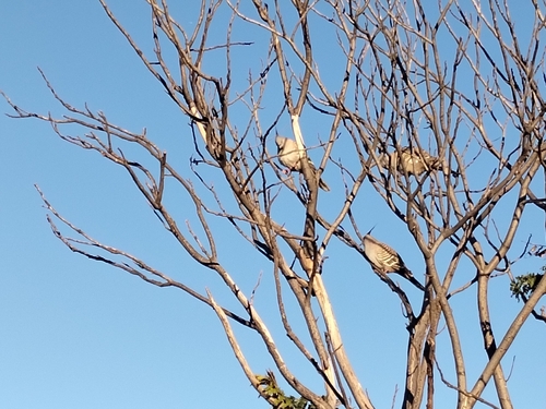
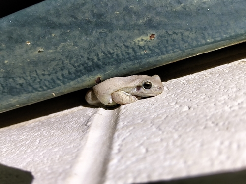
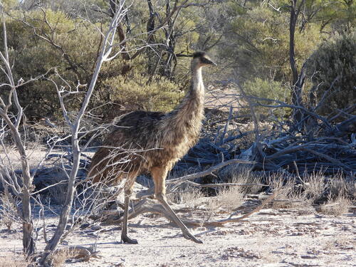
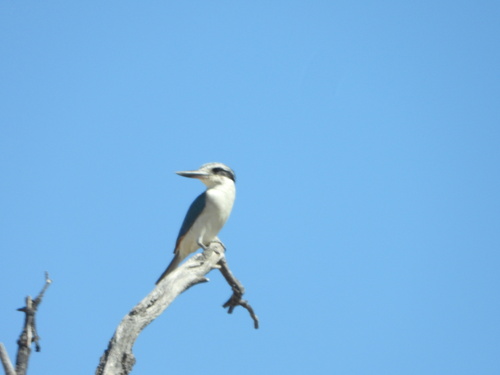
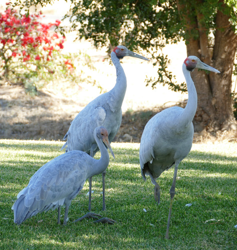
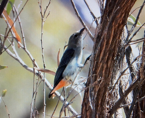
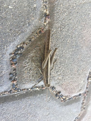
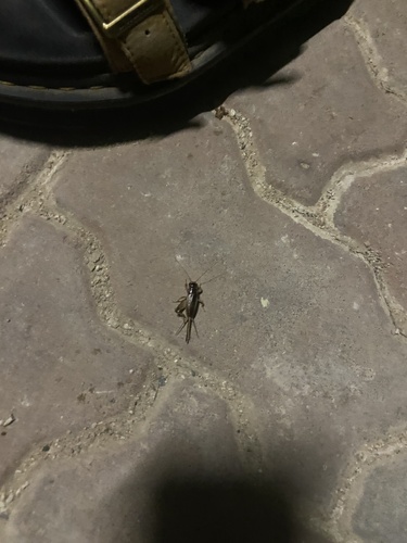
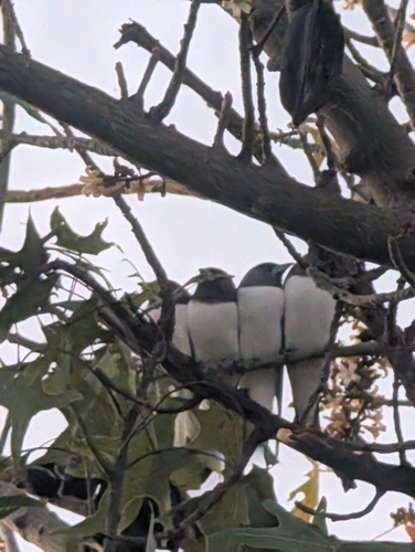
Research-grade observations from iNaturalist (within ~15 mi).
Events
Gallery
Geotagged photos within ~6 miles of Winton, from Wikimedia Commons contributors.
 0.1 mi
 0.2 mi
 0.2 mi
 0.2 mi
 0.2 mi
 0.4 mi
_-_closeup.jpg) 0.4 mi
0.4 mi 0.4 mi
 0.4 mi
 0.4 mi
 0.4 mi
 0.4 mi
 0.4 mi
 0.4 mi
 0.4 mi
 0.4 mi
 0.4 mi
 0.4 mi
.jpg) 0.5 mi
0.5 mi 0.5 mi
 0.5 mi
 0.5 mi
 0.5 mi
 0.5 mi
Photos via Wikimedia Commons — see each image page for license & attribution.
Sources
- • Wikipedia
- • Wikimedia Commons
- • Wikidata
- • Open-Meteo Air Quality (CAMS)
- • USGS Earthquake Catalog (global feed)
- • GBIF (Global Biodiversity Information Facility)
- • iNaturalist
- • Open-Elevation
- • Open-Meteo / sunrise-sunset.org
- • Wikipedia Pageviews API
- • Open Library