Browse / Australia / New South Wales / Wollongong
Wollongong
New South Walescity

Wollongong
Total population
280,153
Founded
1834
Air quality index
Demographic figures from Australian Bureau of Statistics. Overview below cites Wikipedia and may reference a different year.
City facts
Sister cities
Facts from Wikidata (CC0).
Overview
Wollongong is a city in the Illawarra region of New South Wales, Australia. It lies on the narrow coastal strip between the Illawarra Escarpment and the Pacific Ocean, 85 kilometres south of Sydney. Wollongong had an estimated urban population of 302,739 at June 2018, making it the third-largest city in New South Wales after Sydney and Newcastle and the tenth-largest city in Australia by population. The city's current Lord Mayor is Tania Brown who was elected in 2024.
Read more on WikipediaHistory & geography
History
The area was originally inhabited by the Dharawal Indigenous Australians. The first Europeans to visit the area were the navigators George Bass and Matthew Flinders, who landed at Lake Illawarra in 1796. The first settlers in the region were cedar cutters in the early nineteenth century, followed by graziers in 1812. Charles Throsby established a stockman's hut in the area in 1815. The first land grants were made in 1816. In 1823, Charles Throsby Smith and Sarah Broughton Smith became the first settlers in what is now Wollongong. In 1832, a military barracks was constructed near the harbour. Further settlers arrived and in 1834 a town was planned on the Smith property. The surviving part of the Queen of Nations wreck is only about from the shore, in water only deep. From time to time, a violent storm uncovers part of the wreck. After one such storm in 1991, looting resumed, including of the Cognac. The Commonwealth Government quickly issued an order protecting the wreck under the then Historic Shipwrecks Act 1976. Since 2018 the Underwater Cultural Heritage Act 2018 has automatically protected the wreck and its contents, as they are more than 75 years old. In 1878 steam locomotives were introduced to haul coal from Mount Keira mine to the harbour. Gas street lighting was introduced in 1883. In 1885 a new court house was erected in Market Street. Like many Australian court houses, it was designed in a Classical Revival style considered appropriate for public buildings. It is now listed on the Register of the National Estate. In 1886 the first town hall was erected. The Illawarra Railway to Wollongong was completed in 1887, and now continues as far south as the town of Bomaderry on the Shoalhaven River. The navigator George Bass first documented the Illawarra…
Geography
The city of Wollongong has a distinct geography. It lies on a narrow coastal plain flanked by the Tasman Sea to the east and a steep sandstone precipice known as the Illawarra Escarpment to the west. The coastal plain is widest in the south and narrowest in the north, with the city centre located about midway. South of the city centre but within the urban area is Lake Illawarra, a large lagoon. Although Wollongong sits on the immediate coast, it lies on the same longitude as Greater Western Sydney. The escarpment ranges between above sea level, with locally famous mountains such as Mount Keira (), Mount Kembla (), Broker's Nose () and Mount Murray () to the south. It contains strata of coal measures, and the adit entrances to many coal mines have been established along the slopes of the escarpment throughout Wollongong. Suburbia encroaches on the escarpment's lower slopes in some areas, but the majority remains in a relatively natural state forested with dry sclerophyll and pockets of temperate rainforest. The escarpment is largely protected by a State Conservation Area and local scenic protection zoning, and provides the visual backdrop to the city. In the north the escarpment meets the coastline, and north of this the coastal road Lawrence Hargrave Drive hugs the cliff line. The unstable geology of the escarpment resulted in rockfalls, forcing the closure of the road. Subsequently, part of Lawrence Hargrave Drive was replaced in 2005 by the Sea Cliff Bridge just off the coast, crossing the submerged rock shelf. The bridge carries both vehicular and pedestrian traffic. The Illawarra railway line must go through several tunnels to reach the Sydney metropolitan area. The Southern Freeway and Princes Highway provide alternative inland routes, descending the escarpment…
Excerpted from the corresponding Wikipedia article (CC BY-SA).
Geography
Coordinates & boundaries from the US Census TIGER/Line shapefiles.
Climate
10-year averages from ERA5 reanalysis (Open-Meteo).
Air quality
Current readings from Open-Meteo Air Quality API (Copernicus CAMS European reanalysis).
Walkability
Amenities nearby
Wildlife & biodiversity
Most-observed species
- Rainbow LorikeetTrichoglossus haematodus (Linnaeus, 1771) · Aves14,254
- Australian MagpieGymnorhina tibicen (Latham, 1802) · Aves13,184
- Magpie-larkGrallina cyanoleuca (Latham, 1802) · Aves12,942
- Sulphur-crested CockatooCacatua galerita (Latham, 1790) · Aves11,922
- Australian RavenCorvus coronoides Vigors & Horsfield, 1827 · Aves11,341
- Silver GullChroicocephalus novaehollandiae (Stephens, 1826) · Aves9,963
- Gray ButcherbirdCracticus torquatus (Latham, 1802) · Aves9,307
- Little WattlebirdAnthochaera chrysoptera (Latham, 1801) · Aves9,197
Citizen-science & research observations from the Global Biodiversity Information Facility (GBIF).
Earthquake history
Most recent
- M 3.6 — 2025-05-283 km WNW of Cobbitty, Australia
- M 3.5 — 2024-03-0814 km SSW of Woodford, Australia
- M 3 — 2007-08-2224 km W of Oakdale, Australia
- M 3.2 — 2007-08-1810 km NW of Mittagong, Australia
- M 2.6 — 2007-08-1811 km NW of Mittagong, Australia
- M 3.1 — 2007-04-113 km SE of Stanwell Park, Australia
Events from the USGS Earthquake Catalog (global) (FDSN Event Web Service).
Photos
Sights & places nearby
Notable people from here


People born within ~10 km, from Wikidata (CC0). Click any name for their Wikipedia article.
Nearby places in New South Wales
Geography & sun
Elevation, sunrise/sunset and daylight from Open-Meteo. Solar climatology from NASA POWER.
Nearby airports
Public attention
Pageview totals from the Wikimedia Pageviews API.
Books about Wollongong
Search results from Open Library.
Recent natural events nearby
Ground air-quality sensors
Recently spotted species
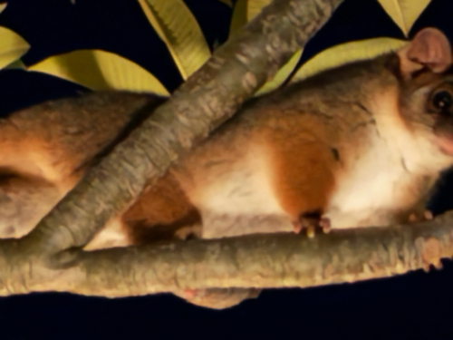
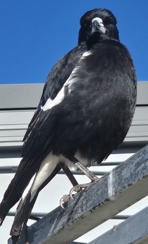
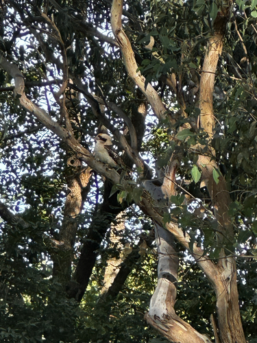
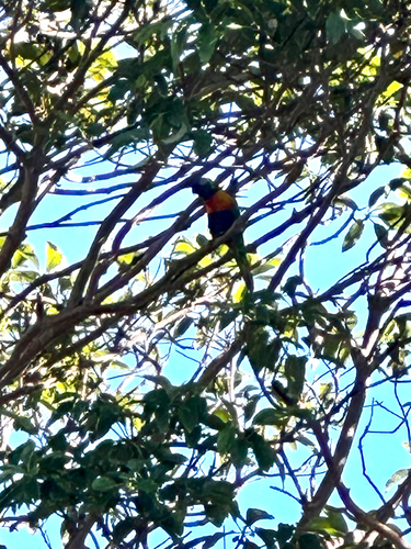
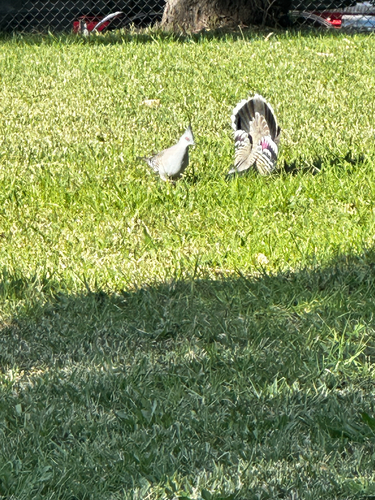
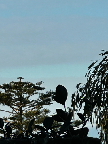
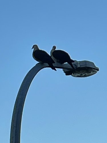
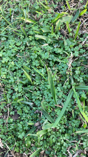
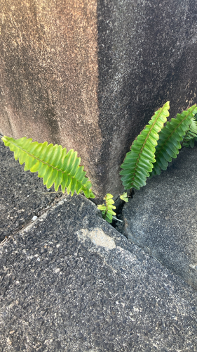
Research-grade observations from iNaturalist (within ~15 mi).
Events
Gallery
Geotagged photos within ~6 miles of Wollongong, from Wikimedia Commons contributors.
 0 mi
0 mi 0 mi
0 mi_(ozflor)_2018-07-16_02H44M49S000.jpg) 0 mi
0 mi_(ozflor)_2018-07-16_02H44M52S000.jpg) 0 mi
0 mi_(ozflor)_2018-07-16_02H44M51S000.jpg) 0 mi
0 mi_(ozflor)_2018-07-16_02H44M54S000.jpg) 0 mi
0 mi_(ozflor)_2018-07-16_02H44M56S000.jpg) 0 mi
0 mi_(ozflor)_2018-07-16_02H44M58S000.jpg) 0 mi
0 mi_(ozflor)_2018-07-16_02H45M00S000.jpg) 0 mi
0 mi_(ozflor)_2018-07-16_02H45M02S000.jpg) 0 mi
0 mi_(ozflor)_2018-07-16_02H45M04S000.jpg) 0 mi
0 mi_(ozflor)_2018-07-16_02H45M06S000.jpg) 0 mi
0 mi_(ozflor)_2018-07-16_02H45M08S000.jpg) 0 mi
0 mi.jpg) 0.1 mi
0.1 mi.jpg) 0.1 mi
0.1 mi 0.1 mi
 0.1 mi
 0.1 mi
.jpg) 0.1 mi
0.1 mi_(ozflor)_2018-07-16_02H44M43S000.jpg) 0.1 mi
0.1 mi_(ozflor)_2018-07-16_02H44M45S000.jpg) 0.1 mi
0.1 mi_(ozflor)_2018-07-16_02H44M47S000.jpg) 0.1 mi
0.1 mi_(ozflor)_2018-07-16_02H45M09S000.jpg) 0.1 mi
0.1 mi_(ozflor)_2018-07-16_02H45M13S000.jpg) 0.1 mi
0.1 miPhotos via Wikimedia Commons — see each image page for license & attribution.
Sources
- • Wikipedia
- • Open-Meteo (ERA5 reanalysis)
- • Wikimedia Commons
- • Wikidata
- • Open-Meteo Air Quality (CAMS)
- • USGS Earthquake Catalog (global feed)
- • GBIF (Global Biodiversity Information Facility)
- • iNaturalist
- • Open-Elevation
- • Open-Meteo / sunrise-sunset.org
- • Wikipedia Pageviews API
- • Open Library