Browse / Australia / New South Wales / Yamba
Yamba
New South Walestown

Yamba
Total population
6,342
Air quality index
Demographic figures from Australian Bureau of Statistics. Overview below cites Wikipedia and may reference a different year.
City facts
Facts from Wikidata (CC0).
Overview
Yamba is a town in the Northern Rivers region of New South Wales, Australia, located at the mouth of the Clarence River.
Read more on WikipediaHistory & geography
History
The Yaegl and Bundjalung people are the traditional custodians of the coastal areas around Yamba, Iluka and Maclean. The ancestors of the present day Yaegl people lived around the mouth of the Clarence River and spoke Yaygirr which was closely related to Gumbaynggirr. There is evidence the Yaygirr had permanent settlements and a developed material culture. Matthew Flinders (1799) described large bark huts with rounded passageway entrances to protect dwellers from wind and rain. Similarly Captain Perry (1839) described canoes of a superior construction. (See Eleanor H McSwan's 'A history of Yamba and Iluka') In 1799, Matthew Flinders landed on the present southern headland at Yamba. He'd been despatched from Sydney to find a new Eden, but from his vantage point atop a craggy promontory, now Pilot Head, he dismissed the turbulent estuary as dangerous and unworthy of further examination, and then sailed away. In the 1830s, timber harvesting commenced. In 1861, the townsite was surveyed, and by October 1862 construction of the breakwater Clarence River Heads Post Office was completed. Originally named Shoal Bay in 1885, it was renamed Yamba with a population of approx 340. In 1908, the Yamba Surf Lifesaving Club was formed and is one of the oldest surf clubs in the world. Yamba began to develop as a tourist destination in the 1930s following the arrival of the railway line at nearby Grafton. Guesthouses were replaced by motels and holiday apartments following the sealing of the main road in 1958, with visitors now able to use bridges rather than punts and ferries. Fishing and oyster industries were established in the 1880s, with prawn trawling pioneered in the 1940s. Sugar cane farming is now the major cropping industry in the region following full mechanisation of the…
Excerpted from the corresponding Wikipedia article (CC BY-SA).
Geography
Coordinates & boundaries from the US Census TIGER/Line shapefiles.
Climate
10-year averages from ERA5 reanalysis (Open-Meteo).
Air quality
Current readings from Open-Meteo Air Quality API (Copernicus CAMS European reanalysis).
Walkability
Amenities nearby
Wildlife & biodiversity
Most-observed species
- Rainbow LorikeetTrichoglossus haematodus (Linnaeus, 1771) · Aves1,479
- Lewin's HoneyeaterMeliphaga lewinii (Swainson, 1837) · Aves1,344
- Australian MagpieGymnorhina tibicen (Latham, 1802) · Aves1,340
- Silver GullChroicocephalus novaehollandiae (Stephens, 1826) · Aves1,328
- Masked LapwingVanellus miles (Boddaert, 1783) · Aves1,203
- Great Crested TernThalasseus bergii (M.H.K.Lichtenstein, 1823) · Aves1,138
- Willie-wagtailRhipidura leucophrys (Latham, 1802) · Aves1,002
- Laughing KookaburraDacelo novaeguineae (Hermann, 1783) · Aves991
Citizen-science & research observations from the Global Biodiversity Information Facility (GBIF).
Earthquake history
Events from the USGS Earthquake Catalog (global) (FDSN Event Web Service).
Photos
Sights & places nearby
Notable people from here
Nearby places in New South Wales
Geography & sun
Nearby airports
Public attention
Books about this place
Recent natural events nearby
Ground air-quality sensors
Recently spotted species
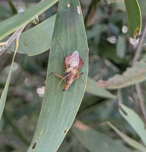
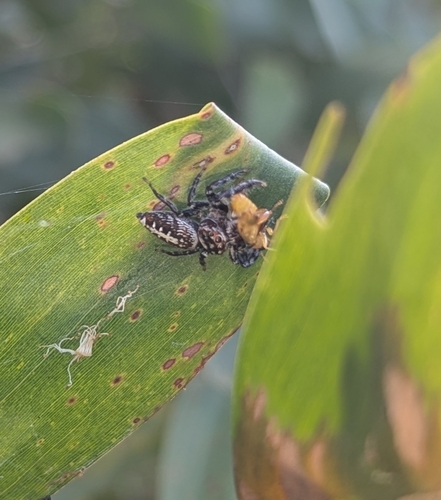
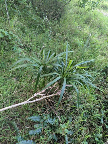
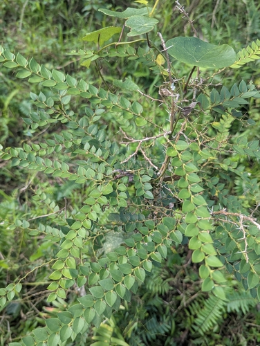
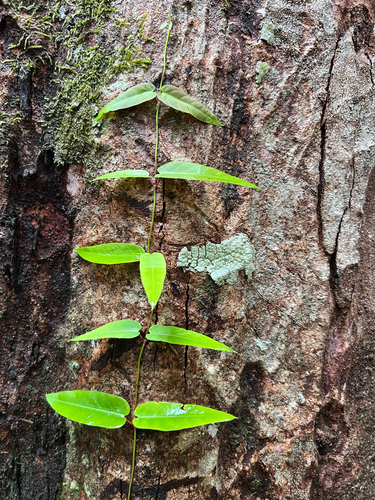
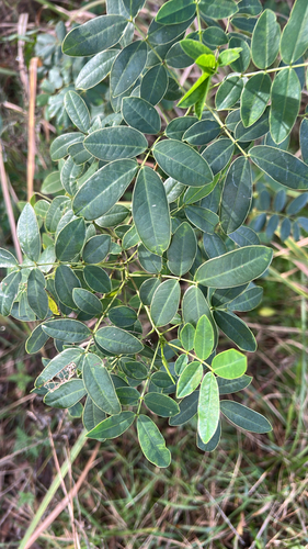
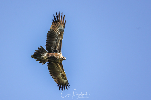
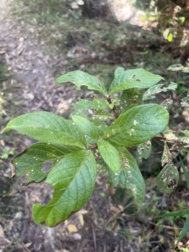
Research-grade observations from iNaturalist (within ~15 mi).
Events
Gallery
Geotagged photos within ~6 miles of Yamba, from Wikimedia Commons contributors.
 0.3 mi
._Taken_on_the_Tuesday,_28th_July_2009_at_4-33pm._-_panoramio.jpg) 0.4 mi
0.4 mi._Taken_on_the_Wednesday,_29th_July_2009_at_9-31am._-_panoramio.jpg) 0.4 mi
0.4 mi 0.4 mi
 0.4 mi
 0.5 mi
 0.5 mi
 0.5 mi
 0.5 mi
 0.5 mi
 0.5 mi
 0.6 mi
.jpg) 0.6 mi
0.6 mi.jpg) 0.6 mi
0.6 mi_12.jpg) 0.6 mi
0.6 mi.jpg) 0.6 mi
0.6 mi.jpg) 0.6 mi
0.6 mi.jpg) 0.6 mi
0.6 mi.jpg) 0.6 mi
0.6 mi 0.7 mi
 0.7 mi
 1.1 mi
.jpg) 1.3 mi
1.3 mi.jpg) 1.5 mi
1.5 miPhotos via Wikimedia Commons — see each image page for license & attribution.
Sources
- • Wikipedia
- • Open-Meteo (ERA5 reanalysis)
- • Wikimedia Commons
- • Wikidata
- • Open-Meteo Air Quality (CAMS)
- • USGS Earthquake Catalog (global feed)
- • GBIF (Global Biodiversity Information Facility)
- • iNaturalist