Browse / Australia / Queensland / Yangan
Yangan
Queenslandvillage

Yangan
Total population
189
Demographic figures from Australian Bureau of Statistics. Overview below cites Wikipedia and may reference a different year.
City facts
Facts from Wikidata (CC0).
Overview
Yangan is a rural town and locality in the Southern Downs Region, Queensland, Australia. In the 2021 census, the locality of Yangan had a population of 404 people.
Read more on WikipediaHistory & geography
History
The district was known as Upper Swan Creek, but in 1887 took the name Yangan from its railway station. The name Yangan is reported to be an Aboriginal word meaning proceed or go away. The Killarney railway line opened from Warwick to Emu Vale on 2 June 1884 which included the Mount Sturt railway station () and Yangan railway station (), both of which are within the present-day boundaries of Yangan. The line closed on 1 May 1964. On Monday 15 May 1905, the Bishop of Brisbane St Clair Donaldson consecrated the new Anglican church, St Peter's. The architect was Conrad Dornbusch and the contractor was Mr J. Purcell. The final service was held on Palm Sunday 25 March 2018 and a deconsecration service was held on Saturday 21 July 2018.
Geography
The town is in the centre of the locality. The Warwick-Yangan Road enters the locality from the west (Swan Creek) and terminates in the town. The Yangan-Killarney Road commences in the town and exits the locality to the south-east (Emu Vale). The locality is traversed by Swan Creek, a tributary of the Condamine River; it enters the locality from the north-east (Swanfels) and flows just south of the town and then exits to the south-west of the locality (Swan Creek). Apart from this, the land use is a mixture of crop growing and grazing on native vegetation.
Excerpted from the corresponding Wikipedia article (CC BY-SA).
Geography
Coordinates & boundaries from the US Census TIGER/Line shapefiles.
Climate
10-year averages from ERA5 reanalysis (Open-Meteo).
Air quality
Walkability
Amenities nearby
Wildlife & biodiversity
Most-observed species
- Australian MagpieGymnorhina tibicen (Latham, 1802) · Aves1,281
- Torresian CrowCorvus orru Bonaparte, 1850 · Aves1,214
- Noisy MinerManorina melanocephala (Latham, 1801) · Aves1,123
- Rainbow LorikeetTrichoglossus haematodus (Linnaeus, 1771) · Aves975
- GalahEolophus roseicapilla (Vieillot, 1817) · Aves955
- Little CorellaCacatua sanguinea Gould, 1843 · Aves872
- Pied CurrawongStrepera graculina (Shaw, 1790) · Aves826
- Crested PigeonOcyphaps lophotes (Temminck, 1822) · Aves794
Citizen-science & research observations from the Global Biodiversity Information Facility (GBIF).
Earthquake history
Events from the USGS Earthquake Catalog (global) (FDSN Event Web Service).
Photos
Sights & places nearby
Notable people from here
People born within ~10 km, from Wikidata (CC0). Click any name for their Wikipedia article.
Geography & sun
Elevation, sunrise/sunset and daylight from Open-Meteo. Solar climatology from NASA POWER.
Nearby airports
Public attention
Pageview totals from the Wikimedia Pageviews API.
Books about this place
Recent natural events nearby
Ground air-quality sensors
Recently spotted species
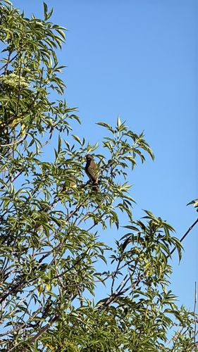
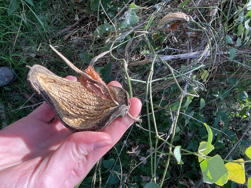
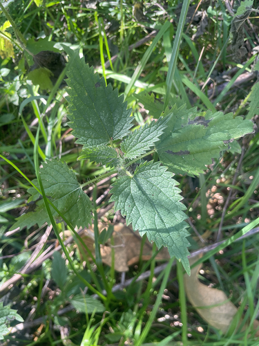
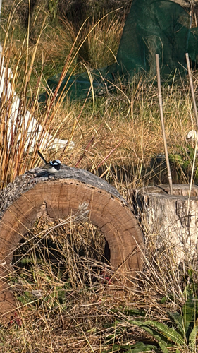
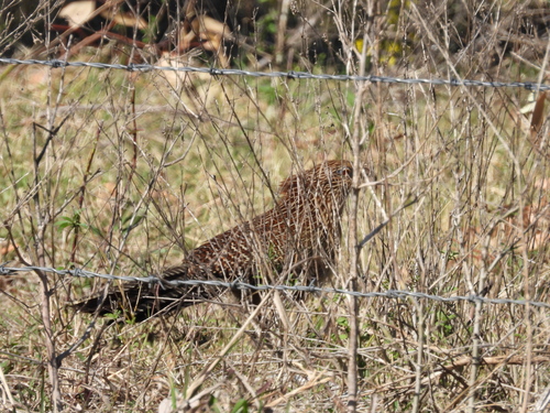
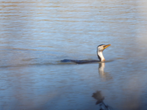
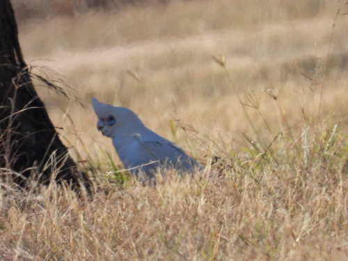
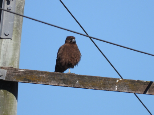
Research-grade observations from iNaturalist (within ~15 mi).
Events
Gallery
Geotagged photos within ~6 miles of Yangan, from Wikimedia Commons contributors.
 0 mi
0 mi_(1995).jpg) 0.1 mi
0.1 mi.jpg) 0.2 mi
0.2 mi 3.1 mi
 3.6 mi
 3.6 mi
 3.6 mi
,_2007.jpg) 4.1 mi
4.1 mi 4.1 mi
 4.2 mi
 4.4 mi
,_front_elevation_(1996).jpg) 4.5 mi
4.5 mi 4.5 mi
 4.5 mi
 4.6 mi
 4.6 mi
,_Swan_Creek,_2007.jpg) 4.6 mi
4.6 mi 4.6 mi
 4.6 mi
 4.6 mi
 4.6 mi
 5.3 mi
,_2015_01.jpg) 5.3 mi
5.3 mi,_2015_02.jpg) 5.3 mi
5.3 miPhotos via Wikimedia Commons — see each image page for license & attribution.
Sources
- • Wikipedia
- • Open-Meteo (ERA5 reanalysis)
- • Wikimedia Commons
- • Wikidata
- • USGS Earthquake Catalog (global feed)
- • GBIF (Global Biodiversity Information Facility)
- • iNaturalist
- • Open-Meteo / sunrise-sunset.org
- • Wikipedia Pageviews API