Browse / Australia / Victoria / Yea
Yea
Victoriatown

Yea
Total population
1,279
Founded
1855
Demographic figures from Australian Bureau of Statistics. Overview below cites Wikipedia and may reference a different year.
City facts
Facts from Wikidata (CC0).
Overview
Yea is a town in Victoria, Australia 112 kilometres (70 mi) north-east of the state capital Melbourne at the junction of the Goulburn Valley Highway and the Melba Highway, in the Shire of Murrindindi local government area. In an area originally inhabited by the Taungurung people, it was first visited by Europeans of the Hume and Hovell expedition in 1824, and within 15 years most of the land in the area had been taken up by graziers. Surveyed in 1855, the township grew as a service centre for grazing, gold-mining and timber-getting in the area.
Read more on WikipediaHistory & geography
History
The area was historically inhabited by the Taungurung people. They knew the Yea River as Caluther, and the Goulburn River as Warring. The first Europeans in the area were a party of explorers led by William Hovell and Hamilton Hume, who crossed the Goulburn River at a point near Molesworth in December 1824, and crossed the stream they named Muddy Creek the following day. – a British Army colonel killed in June of that year at the Battle of the Great Redan in the Crimean War, and who had been Clarke's commanding officer in England in 1830s. Town lots went on sale at Kilmore the following year. Yea expanded under the influx of hopeful prospectors, both as a natural overnight stopping place on the route from Melbourne to other goldfields, A major threat to the township was the Trawool Water Scheme (announced for implementation in 1908), which would have almost certainly meant the drowning of the town. Property values became depressed, and two deputations to the state minister did not appear to change his mind. Survey work commenced, but the scheme was abandoned before it was completed, in favour of the site at Eildon. Bushfires and floods have influenced the Yea area quite frequently, fire having been recorded by the Hume and Hovell expedition, and floods affecting the roadways on a regular basis. In 1884 the area was affected by both flood and fire, on 1 January 1900 the Commonwealth Day celebrations were abandoned in order to fight a fire that surrounded the town, and in 1969 it had to be 'defended on all sides' from fire.
Geography
Yea is located on the inside (west and south) of a bend in the Yea River about south-east of where it meets the Goulburn River. It is north-east of Melbourne at above sea-level, on the northern slopes of the Great Dividing Range. The centre of the town is on the flood plain of the Yea River, but the residential area to the south extends onto the slopes of the nearby hills. The Goulburn Valley Highway (B340) passes through the town, and the Melba Highway (B300) from Melbourne's eastern suburbs ends there. The other direct route to Melbourne is via the Yea-Whittlesea road (C725). Yea's built environment consists of commercial, retail and public buildings along the Goulburn and Melba Highways as they run through the town, with residential areas largely to the south of the commercial centre, though newer residential estates have been developed to the west. The residential areas consist almost entirely of low-density, single-storey detached houses on their own blocks. The surrounding area consists largely of pastoral properties running beef cattle and sheep. No intact examples of native vegetation survive in the area immediately around Yea. That vegetation consisted of grassy woodlands dominated by river red gum (Eucalyptus camaldulensis) on the creeklines and nearby plains, grading to grassy forest dominated by Acacia and box Eucalyptus species in the nearby valleys and hills. The Yea Wetlands, an area of immediately to the east of the town, and situated between two branches of the Yea River, has had extensive work done to restore its native vegetation. This site is one of only six known locations of the ancient greenling damselfly (Hemiphlebia mirabilis), although no specimens have been recorded there since 2001.
Excerpted from the corresponding Wikipedia article (CC BY-SA).
Geography
Coordinates & boundaries from the US Census TIGER/Line shapefiles.
Climate
10-year averages from ERA5 reanalysis (Open-Meteo).
Air quality
Walkability
Amenities nearby
Wildlife & biodiversity
Most-observed species
- Australian MagpieGymnorhina tibicen (Latham, 1802) · Aves1,297
- Crimson RosellaPlatycercus elegans (Gmelin, 1788) · Aves1,086
- Sulphur-crested CockatooCacatua galerita (Latham, 1790) · Aves1,065
- Superb FairywrenMalurus cyaneus (Ellis, 1782) · Aves1,022
- Gray FantailRhipidura albiscapa Gould, 1840 · Aves960
- Red WattlebirdAnthochaera carunculata (Shaw, 1790) · Aves840
- Laughing KookaburraDacelo novaeguineae (Hermann, 1783) · Aves782
- Yellow-faced HoneyeaterCaligavis chrysops (Latham, 1801) · Aves778
Citizen-science & research observations from the Global Biodiversity Information Facility (GBIF).
Earthquake history
Most recent
- M 3.9 — 2024-08-0634 km SSW of Mount Buller, Australia
- M 4.4 — 2023-06-2934 km SSW of Mount Buller, Australia
- M 3.8 — 2023-05-285 km W of Mickleham, Australia
- M 4.1 — 2021-09-2135 km SSW of Mount Buller, Australia
- M 5.9 — 2021-09-2139 km S of Mount Buller, Australia
- M 2.8 — 2015-03-103 km NNE of Pakenham, Australia
Events from the USGS Earthquake Catalog (global) (FDSN Event Web Service).
Photos
Sights & places nearby
Notable people from here


People born within ~10 km, from Wikidata (CC0). Click any name for their Wikipedia article.
Nearby places in Victoria
- Molesworth7.2 mi away
- Tyaak15.7 mi away
- Taggerty17.6 mi away · pop. 102
- Tallarook19.4 mi away
- Waterford Park20.5 mi away
- Thornton20.9 mi away · pop. 130
- Narbethong26.6 mi away · pop. 99
- Bonnie Doon27.3 mi away · pop. 109
- Longwood28.3 mi away · pop. 179
- Nagambie33.1 mi away · pop. 2,036
- Goughs Bay35.5 mi away · pop. 262
- Barjarg37.2 mi away
Geography & sun
Elevation, sunrise/sunset and daylight from Open-Meteo. Solar climatology from NASA POWER.
Nearby airports
Public attention
Pageview totals from the Wikimedia Pageviews API.
Books about this place
Recent natural events nearby
Ground air-quality sensors
Recently spotted species
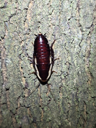
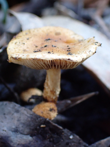
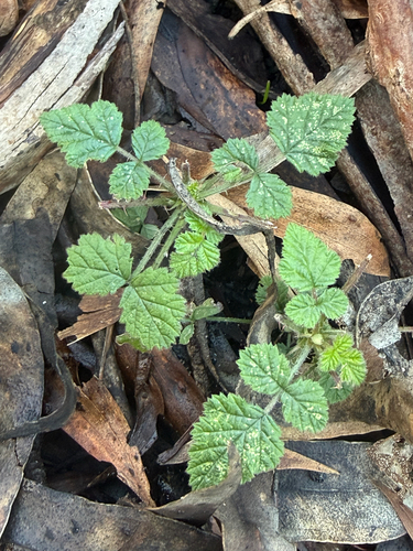
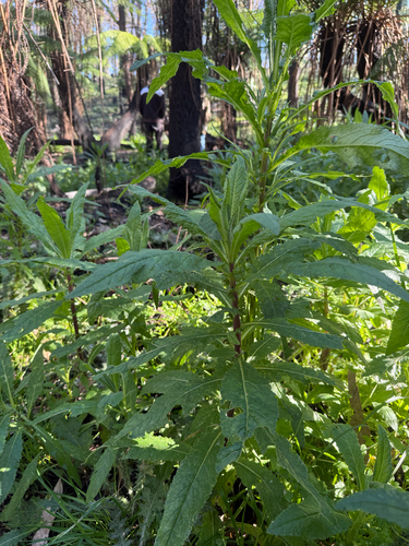
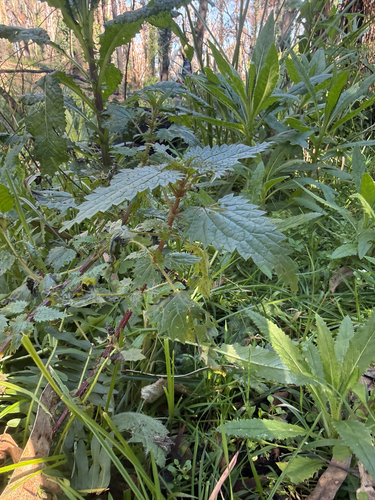
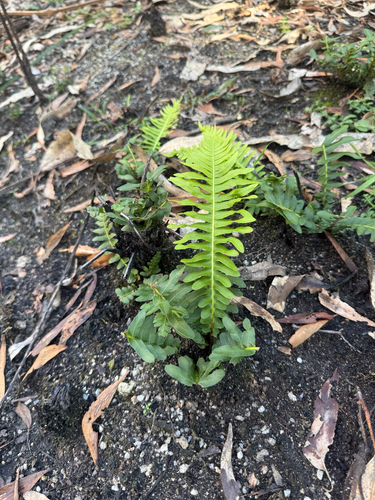
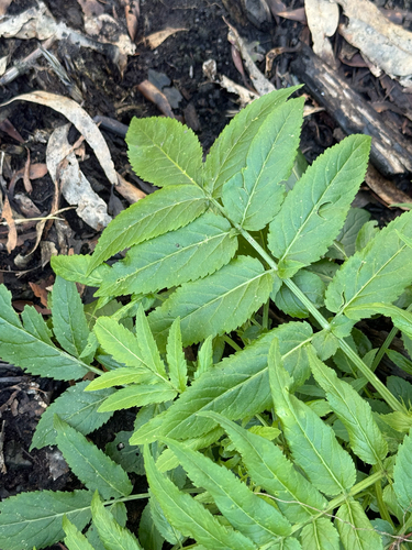
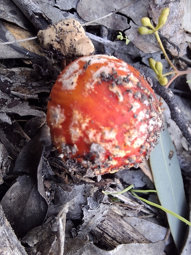
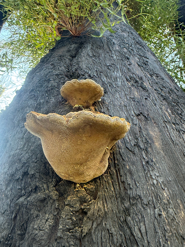
Research-grade observations from iNaturalist (within ~15 mi).
Events
Gallery
Sources
- • Wikipedia
- • Open-Meteo (ERA5 reanalysis)
- • Wikidata
- • USGS Earthquake Catalog (global feed)
- • GBIF (Global Biodiversity Information Facility)
- • iNaturalist
- • Open-Meteo / sunrise-sunset.org
- • Wikipedia Pageviews API