Browse / Australia / New South Wales / Yeoval
Yeoval
New South Walestown

Yeoval
Total population
221
Air quality index
Demographic figures from Australian Bureau of Statistics. Overview below cites Wikipedia and may reference a different year.
City facts
Overview
Yeoval is a small village in the Central Western district of New South Wales, Australia. The town lies in Cabonne Shire. A small part over Buckinbah Creek referred to as North Yeoval used to lie within Dubbo Regional Council until 2026, when it became part of Cabonne Shire. Yeoval is located between Dubbo and Orange. The town was the childhood home of Australian poet Banjo Paterson, who lived on the nearby Buckinbah property, and many of his poems reflect the area. A Banjo Paterson Museum is open to visitors.
Read more on WikipediaHistory & geography
History
Yeoval a village in the Central West of New South Wales, centrally located between Orange, Dubbo, Parkes and Wellington. In 1868, gold, silver and copper were discovered 7 km from Yeoval. The Goodrich Mine operated in this area periodically until 1971. Yeoval Post Office opened on 1 November 1884. on the now closed Molong–Dubbo railway line, and was sited to the north of the village in North Yeoval. Passenger services operated until 1974.
Excerpted from the corresponding Wikipedia article (CC BY-SA).
Geography
Coordinates & boundaries from the US Census TIGER/Line shapefiles.
Climate
Air quality
Current readings from Open-Meteo Air Quality API (Copernicus CAMS European reanalysis).
Walkability
Amenities nearby
Wildlife & biodiversity
Most-observed species
- Perforate St John's-wortHypericum perforatum L. · Magnoliopsida93
- BlackberryRubus fruticosus L. · Magnoliopsida60
- African BoxthornLycium ferocissimum Miers · Magnoliopsida55
- Magpie-larkGrallina cyanoleuca (Latham, 1802) · Aves31
- Australian MagpieGymnorhina tibicen (Latham, 1802) · Aves31
- GalahEolophus roseicapilla (Vieillot, 1817) · Aves25
- Spiny CockleburXanthium spinosum L. · Magnoliopsida25
- Yellow Star-thistleCentaurea solstitialis L. · Magnoliopsida23
Citizen-science & research observations from the Global Biodiversity Information Facility (GBIF).
Earthquake history
Most recent
- M 4.5 — 2026-04-1424 km ENE of Canowindra, Australia
- M 4.2 — 2017-04-1323 km WSW of Millthorpe, Australia
- M 3.7 — 2008-03-1832 km NE of Peak Hill, Australia
- M 2.8 — 2007-08-2412 km SSW of Dubbo, Australia
Events from the USGS Earthquake Catalog (global) (FDSN Event Web Service).
Photos
Sights & places nearby
Notable people from here
Nearby places in New South Wales
Geography & sun
Elevation, sunrise/sunset and daylight from Open-Meteo. Solar climatology from NASA POWER.
Nearby airports
Public attention
Pageview totals from the Wikimedia Pageviews API.
Books about Yeoval
Search results from Open Library.
Recent natural events nearby
Ground air-quality sensors
Recently spotted species
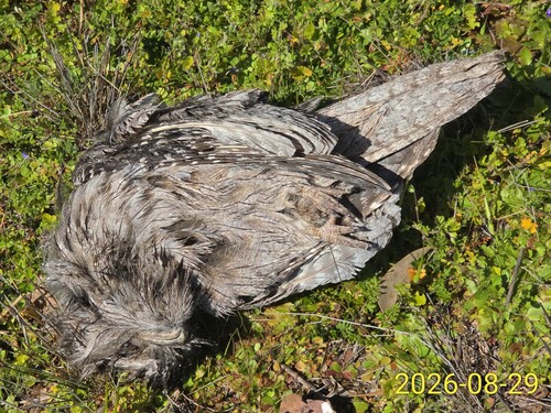
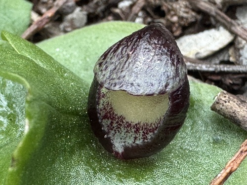
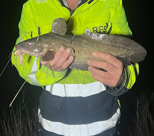
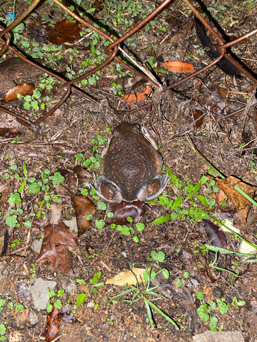
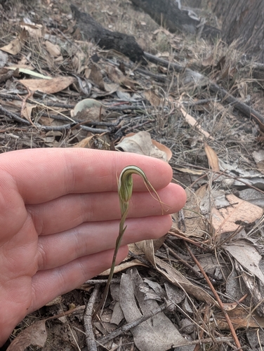
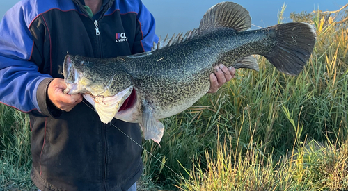
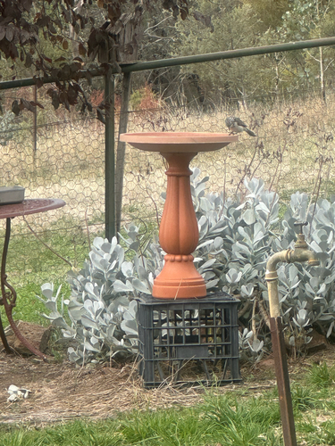
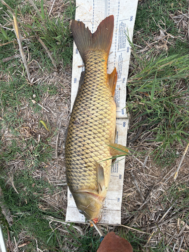
Research-grade observations from iNaturalist (within ~15 mi).
Events
Gallery
Sources
- • Wikipedia
- • Wikidata
- • Open-Meteo Air Quality (CAMS)
- • USGS Earthquake Catalog (global feed)
- • GBIF (Global Biodiversity Information Facility)
- • iNaturalist
- • Open-Meteo / sunrise-sunset.org
- • Wikipedia Pageviews API
- • Open Library