Browse / Australia / Northern Territory / Yirrkala
Yirrkala
Northern Territorytown

Yirrkala
Total population
657
Demographic figures from Australian Bureau of Statistics. Overview below cites Wikipedia and may reference a different year.
City facts
Facts from Wikidata (CC0).
Overview
Yirrkala is a small community in East Arnhem Region, Northern Territory, Australia, 18 kilometres (11 mi) southeast of the large mining town of Nhulunbuy, on the Gove Peninsula in Arnhem Land. It is known for the former mission, established as an Aboriginal reserve after being founded by Methodist missionaries in 1935, and for what became known as the Yirrkala bark petitions. These were a set of petitions submitted by the Aboriginal residents of the mission to the Australian Parliament in 1963 asking for consultation about their land taken for mining. This marked an important moment in the history of Indigenous land rights in Australia and native title in Australia.
Read more on WikipediaHistory & geography
History
There has been an Aboriginal community at Yirrkala throughout recorded history, but the community increased enormously in size when Yirrkala mission was founded in 1935, with people from 13 different Yolngu clans moving to Yirrkala. Mission superintendents included founding superintendent Wilbur Chaseling, Harold Thornell, and Edgar Wells, who wrote about their experiences there. The residents were free to come and go as they wished, and the interaction was on the whole positive in those early days, with a lack of dogmatism by the missionaries, and the Yolngu people accommodating Christianity within a version of their own beliefs. Yirrkala played a pivotal role in the development of the relationship between Indigenous and non-Indigenous Australians. In early 1963, clan elders came together to paint the Yirrkala Church Panels, which documented the Yolngu claim to the land through ancestral stories. Consisting of two sheets of masonite, eight elders of the Dhuwa moiety painted one sheet with their major ancestral narratives and clan designs, and eight elders of the Yirritja moiety painted the other sheet with Yirritja designs. A series of four petitions, attached to decorated bark panels, were created at the mission in 1963 and sent to the Federal Government to protest the Prime Minister's announcement that a parcel of their land was to be sold to a bauxite mining company. Although the petitions were unsuccessful in the sense that the bauxite mining at Nhulunbuy went ahead as planned, it alerted non-Indigenous Australians to the need for Indigenous representation in such decisions, and it prompted a government report recommending compensation payments, protection of sacred sites, creation of a permanent parliamentary standing committee to scrutinise developments at…
Excerpted from the corresponding Wikipedia article (CC BY-SA).
Geography
Coordinates & boundaries from the US Census TIGER/Line shapefiles.
Climate
Air quality
Walkability
Amenities nearby
Wildlife & biodiversity
Most-observed species
- Bar-shouldered DoveGeopelia humeralis (Temminck, 1821) · Aves238
- Sulphur-crested CockatooCacatua galerita (Latham, 1790) · Aves187
- Masked LapwingVanellus miles (Boddaert, 1783) · Aves162
- Rainbow Bee-eaterMerops ornatus Latham, 1801 · Aves161
- Forest KingfisherTodiramphus macleayii (Jardine & Selby, 1830) · Aves159
- Red-collared LorikeetTrichoglossus rubritorquis Vigors & Horsfield, 1827 · Aves155
- White-gaped HoneyeaterStomiopera unicolor (Gould, 1843) · Aves155
- Peaceful DoveGeopelia placida Gould, 1844 · Aves152
Citizen-science & research observations from the Global Biodiversity Information Facility (GBIF).
Earthquake history
Most recent
- M 4.1 — 2019-12-2062 km ESE of Galiwinku, Australia
Events from the USGS Earthquake Catalog (global) (FDSN Event Web Service).
Photos
Sights & places nearby
Notable people from here
Nearby places in Northern Territory
Geography & sun
Elevation, sunrise/sunset and daylight from Open-Meteo. Solar climatology from NASA POWER.
Nearby airports
Public attention
Pageview totals from the Wikimedia Pageviews API.
Books about Yirrkala
Search results from Open Library.
Recent natural events nearby
Ground air-quality sensors
Recently spotted species
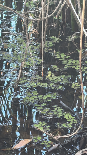
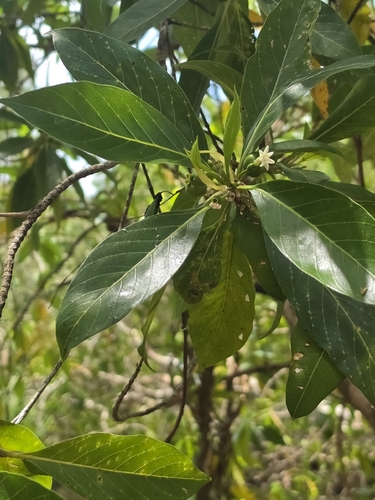
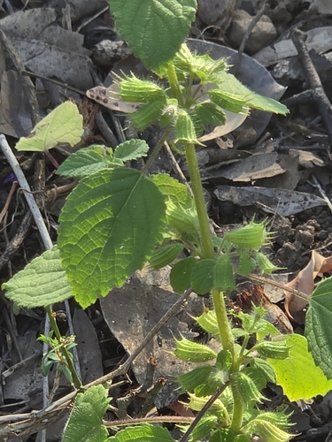
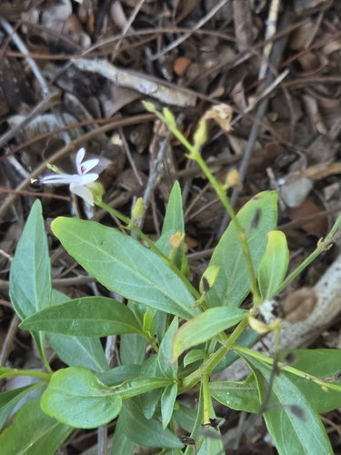
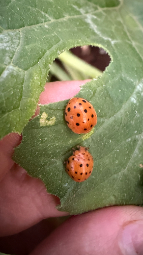
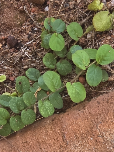
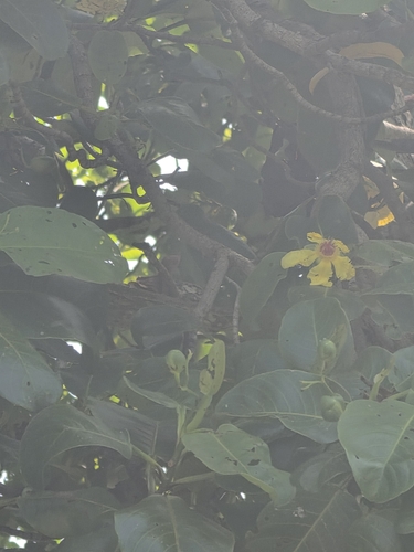
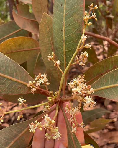
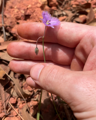
Research-grade observations from iNaturalist (within ~15 mi).
Events
Gallery
Sources
- • Wikipedia
- • Wikidata
- • USGS Earthquake Catalog (global feed)
- • GBIF (Global Biodiversity Information Facility)
- • iNaturalist
- • Open-Meteo / sunrise-sunset.org
- • Wikipedia Pageviews API
- • Open Library