Browse / Australia / Northern Territory / Yulara
Yulara
Northern Territorytown

Yulara
Total population
853
Founded
1984
Air quality index
Demographic figures from Australian Bureau of Statistics. Overview below cites Wikipedia and may reference a different year.
City facts
Facts from Wikidata (CC0).
Overview
Yulara is a town in the southern region of the Northern Territory, Australia. It is an unincorporated enclave within the MacDonnell Region. At the 2016 census, Yulara had a permanent population of 1,099, in an area of 103.33 square kilometres (39.90 sq mi). It is 18 kilometres (11 mi) by road from the World Heritage Site of Uluru, and 55 kilometres (34 mi) from Kata Tjuta. It is in the Northern Territory electorate of Gwoja and the federal electorate of Lingiari.
Read more on WikipediaHistory & geography
History
By the early 1970s, the pressure of unstructured and unregulated tourism, including motels near the base of Uluru (Ayers Rock), was having detrimental effects on the environment in the area of both Uluru and Kata Tjuta. Following the recommendation of a Senate Select Committee, which was to remove all developments near the base of the rock, and build a new resort to support tourism in the Uluṟu-Kata Tjuṯa National Park, the Commonwealth Government agreed in 1973 to relocate accommodation facilities to a new site outside the park. On 10 August 1976, the Governor General proclaimed the new town of Yulara, some from Uluru. When the new facilities became fully operational in late 1984, the Commonwealth Government terminated all the leases for the old motels near the Rock, and the area was rehabilitated by the National Park Service (now called Parks Australia). Around the same time, the national park was renamed Uluṟu-Kata Tjuṯa, and its ownership was transferred to the local Indigenous people, who leased it back to the Parks Australia for 99 years. There were originally three competing hotels, but that detracted from the viability of the whole enterprise, with the company (and, indirectly, the government) incurring massive operating losses. Between 1990 and 1992, the competing hotel operators were replaced by a single operator, the government-owned Investnorth Management Pty Ltd. In 1992, the government sold, through open tender, a 40% interest in the Yulara Development Company and, therefore, the resort, to a venture capital consortium. In 1997, the entire resort was again sold by open tender to General Property Trust, which appointed Voyages Hotels & Resorts as operator. Voyages operated all aspects of the resort, with the exception of the post office. Almost all…
Excerpted from the corresponding Wikipedia article (CC BY-SA).
Geography
Coordinates & boundaries from the US Census TIGER/Line shapefiles.
Climate
10-year averages from ERA5 reanalysis (Open-Meteo).
Air quality
Current readings from Open-Meteo Air Quality API (Copernicus CAMS European reanalysis).
Walkability
Amenities nearby
Wildlife & biodiversity
Most-observed species
- Crested PigeonOcyphaps lophotes (Temminck, 1822) · Aves843
- White-plumed HoneyeaterPtilotula penicillata (Gould, 1837) · Aves731
- Zebra FinchTaeniopygia guttata (Vieillot, 1817) · Aves729
- Yellow-throated MinerManorina flavigula (Gould, 1840) · Aves673
- Willie-wagtailRhipidura leucophrys (Latham, 1802) · Aves661
- Singing HoneyeaterGavicalis virescens (Vieillot, 1817) · Aves646
- Spiny-cheeked HoneyeaterAcanthagenys rufogularis Gould, 1838 · Aves451
- Black-faced WoodswallowArtamus cinereus Vieillot, 1817 · Aves394
Citizen-science & research observations from the Global Biodiversity Information Facility (GBIF).
Earthquake history
Most recent
- M 4.5 — 2026-05-0584 km SSW of Yulara, Australia
- M 4.4 — 2026-04-0889 km SSW of Yulara, Australia
- M 4.4 — 2026-04-0592 km SSW of Yulara, Australia
- M 4.4 — 2026-04-0481 km SSW of Yulara, Australia
- M 5.5 — 2026-04-0482 km SSW of Yulara, Australia
- M 4.8 — 2006-04-0183 km S of Yulara, Australia
Events from the USGS Earthquake Catalog (global) (FDSN Event Web Service).
Photos
Sights & places nearby
Notable people from here
Nearby places in Northern Territory
Geography & sun
Elevation, sunrise/sunset and daylight from Open-Meteo. Solar climatology from NASA POWER.
Nearby airports
Public attention
Pageview totals from the Wikimedia Pageviews API.
Books about Yulara

Search results from Open Library.
Recent natural events nearby
Ground air-quality sensors
Recently spotted species
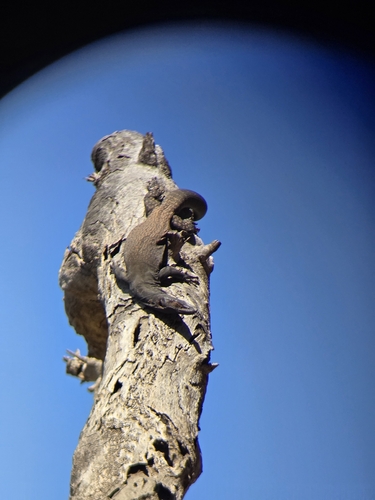
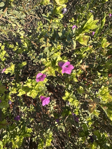
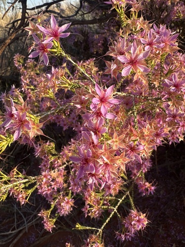
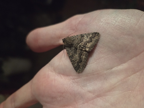
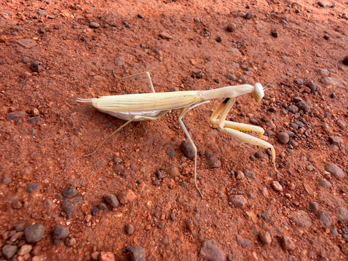
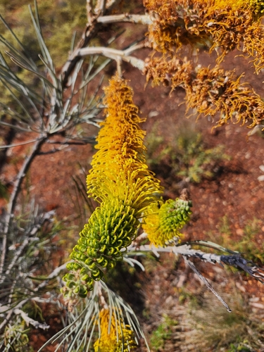

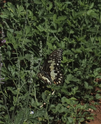
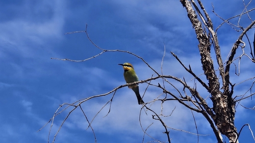
Research-grade observations from iNaturalist (within ~15 mi).
Events
Gallery
Geotagged photos within ~6 miles of Yulara, from Wikimedia Commons contributors.
 0 mi
0 mi,_Uluru-Kata_Tjuta_National_Park,_Uluru_--_2019_--_3595.jpg) 0 mi
0 mi 0 mi
0 mi 0 mi
0 mi 0 mi
0 mi 0.1 mi
 0.2 mi
 0.2 mi
 0.2 mi
 0.2 mi
 0.2 mi
 0.2 mi
 0.2 mi
 0.2 mi
 0.2 mi
 0.2 mi
 0.2 mi
 0.2 mi
 0.2 mi
 0.2 mi
 0.2 mi
 0.2 mi
 0.2 mi
 0.2 mi
Photos via Wikimedia Commons — see each image page for license & attribution.
Sources
- • Wikipedia
- • Open-Meteo (ERA5 reanalysis)
- • Wikimedia Commons
- • Wikidata
- • Open-Meteo Air Quality (CAMS)
- • USGS Earthquake Catalog (global feed)
- • GBIF (Global Biodiversity Information Facility)
- • iNaturalist
- • Open-Elevation
- • Open-Meteo / sunrise-sunset.org
- • Wikipedia Pageviews API
- • Open Library