Browse / United States / Arizona / Cottonwood
Cottonwood
ArizonaCDP
Total population
149
Median home value
$50,800
Bachelor's+
Median income
$0
Demographic figures from US Census Bureau · ACS 5-year estimates. Overview below cites Wikipedia and may reference a different year.
City facts
Facts from Wikidata (CC0).
Overview
Set in Arizona, United States, Cottonwood is recorded in open geodata as a small census-designated community. Public datasets list a population of roughly 149. On the world map it falls within the Western Hemisphere, specifically at 36.072°, -109.890°. The location receives about 2,029 kWh/m² of solar irradiance per year and sunshine for roughly 79% of daylight hours. Based on its warm temperate position, residents likely encounter warm summers and cool winters. Total area is recorded as a compact 0.4 km². Population density therefore averages about 373 per km², an average residential density. Detailed open-data panels follow, covering demographics, climate, geography, wildlife and nearby settlements.
Summary composed automatically from structured open data on this page. See our Terms for details.
History & geography
History
As settlers arrived in the area, an abundance of cottonwood trees near the Verde River served as a meeting place for travelers. Horses rested there before their journey up the mountains, and travellers would camp here. In 1917, Clemenceau, a mining town that is now part of Cottonwood, was established nearby.
Geography
According to the United States Census Bureau, the city has a total area of , all land. Cottonwood has a cool semi-arid climate (Köppen BSk) almost warm enough to be a hot semi-arid climate (BSh). In January the average high temperature is with a low of . In July the average high temperature is with a low of . Annual rainfall is approximately , with a range from in the "rain year" from July 2020 to June 2021, up to as much as between July 1972 and June 1973, and in calendar year 1965. The wettest single month has been October 1972 with , and the wettest single day September 17, 1925 with . Snowfall is rare, with a 1991 to 2020 median of a trace and mean of ; the most snow in one month has been in December 1967, but no other month has had more than . Frosts, however, are common: an average of 67 mornings fall below freezing each winter, although only three afternoons – January 20, 1935, January 6, 1971 and December 31, 2010 – have ever failed to top freezing. The lowest temperature ever record has been on January 13, 1963. Summer expects 126 afternoons at or above and 42 at or above ; the hottest temperature recorded is on June 26, 1994.
Excerpted from the corresponding Wikipedia article (CC BY-SA).
Demographics & economy
Race & ethnicity
Source: US Census Bureau — American Community Survey, 5-year estimates.
Geography
Coordinates & boundaries from the US Census TIGER/Line shapefiles.
Climate
Current forecast
Forecast for Cottonwood, AZ from NOAA NWS API.
Air quality
Industrial & pollution facilities
Natural hazard risk
Health (adults)
Age-adjusted prevalence estimates from CDC PLACES (latest release).
Walkability
Amenities nearby
Wildlife & biodiversity
Most-observed species
- Common RavenCorvus corax Linnaeus, 1758 · Aves3
- Say's PhoebeSayornis saya (Bonaparte, 1825) · Aves3
- White-throated SwiftAeronautes saxatalis (Woodhouse, 1853) · Aves2
- Turkey VultureCathartes aura (Linnaeus, 1758) · Aves2
- Loggerhead ShrikeLanius ludovicianus Linnaeus, 1766 · Aves2
- Rock WrenSalpinctes obsoletus (Say, 1822) · Aves2
- Collared lizardCrotaphytus collaris (Say, 1822) · Squamata1
- golden mariposa lilyCalochortus aureus S.Watson · Liliopsida1
Citizen-science & research observations from the Global Biodiversity Information Facility (GBIF).
Schools
Earthquake history
Most recent
- M 2.8 — 2026-02-263 km NNW of Sawmill, Arizona
- M 3.7 — 2026-01-0920 km SSW of Chilchinbito, Arizona
- M 2.6 — 2024-08-268 km S of Rough Rock, Arizona
- M 2.5 — 2024-08-2513 km NNE of Round Rock, Arizona
- M 2.6 — 2023-03-0617 km ENE of Chilchinbito, Arizona
- M 2.5 — 2022-07-1611 km NW of Many Farms, Arizona
Events from the USGS Earthquake Catalog (global) (FDSN Event Web Service).
Photos
Sights & places nearby
Notable people from here
People born within ~10 km, from Wikidata (CC0). Click any name for their Wikipedia article.
Nearby places in Arizona
Geography & sun
Elevation, sunrise/sunset and daylight from Open-Meteo. Solar climatology from NASA POWER.
Nearby airports
Public attention
Pageview totals from the Wikimedia Pageviews API.
Books about Cottonwood


![Wilderness management plan and enviro[n]mental assessment for the Cottonwood Point Wilderness, Arizona](https://covers.openlibrary.org/b/id/10019625-M.jpg)
Search results from Open Library.
Recent natural events nearby
- Prescribed Fire D2 Dye RX, Coconino, ArizonaWildfires · 2026-09-17 · 127 mi
- Prescribed Fire D2 Vincent RX, Coconino, ArizonaWildfires · 2026-09-17 · 128 mi
- Prescribed Fire D7 Morgan Unit 5 RX, Navajo, ArizonaWildfires · 2026-09-14 · 128 mi
- Prescribed Fire D7 Arab RX, Apache, ArizonaWildfires · 2026-09-14 · 129 mi
- Prescribed Fire D7 Butler West RX, Apache, ArizonaWildfires · 2026-09-14 · 130 mi
- Prescribed Fire D7 Apprentice RX, Apache, ArizonaWildfires · 2026-09-14 · 131 mi
- Prescribed Fire D7 Rhoton Seep RX, Apache, ArizonaWildfires · 2026-09-14 · 132 mi
- Prescribed Fire D7 Brushy Mtn South RX, Apache, ArizonaWildfires · 2026-09-14 · 134 mi
Wildfires, storms and other events from NASA EONET (last 12 months, within 250 mi).
Ground air-quality sensors
Recently spotted species
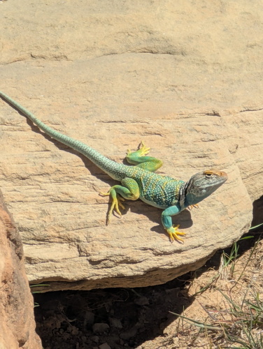
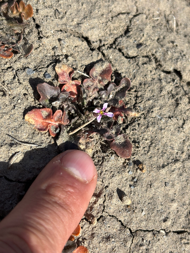
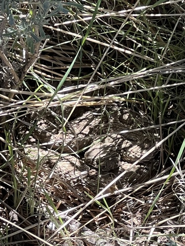
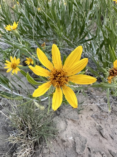
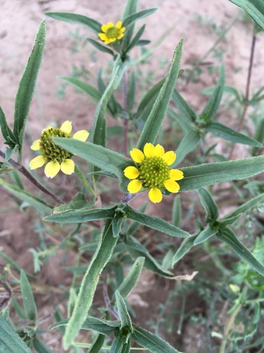
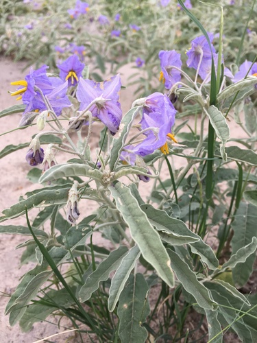
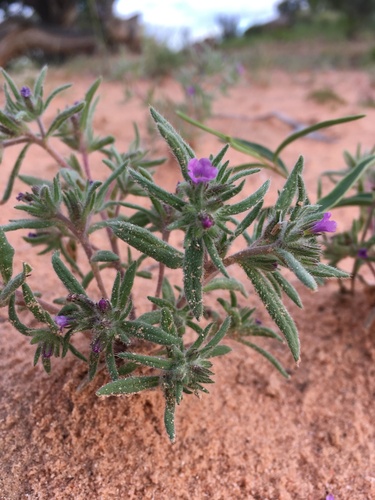
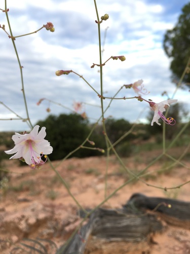
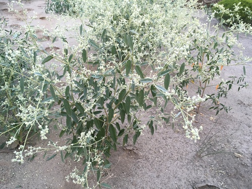
Research-grade observations from iNaturalist (within ~15 mi).
Nearest stream gauge
Events
Gallery
Sources
- • Wikipedia
- • US Census Bureau (ACS 5-year estimates)
- • NOAA National Weather Service
- • Wikidata
- • USGS Earthquake Catalog (global feed)
- • GBIF (Global Biodiversity Information Facility)
- • iNaturalist
- • CDC PLACES
- • Open-Meteo / sunrise-sunset.org
- • Wikipedia Pageviews API
- • Open Library
- • NASA EONET