Browse / United States / Arizona / Dudleyville
Dudleyville
ArizonaCDP

Dudleyville
Total population
684
Demographic figures from US Census Bureau · ACS 5-year estimates. Overview below cites Wikipedia and may reference a different year.
City facts
Facts from Wikidata (CC0).
Overview
Dudleyville is a census-designated place (CDP) in Pinal County, Arizona, United States. The population was 959 at the 2010 census.
Read more on WikipediaHistory & geography
History
During the 1870s ranchers moved cattle into the lands along the lower San Pedro River. At what would become Dudleyville, a stage station opened in the late 1870s along the Globe to Tucson stage road. On May 8, 1881, William Dudley Harrington, operator of the stage station, was appointed first post master of the new post office of Dudleyville. Harrington and his wife Amanda Jane Crowley were from Missouri and had moved to California before settling with their family on a farm along the San Pedro. The small village of Dudleyville, with stage stop, mercantile and post office, farms, ranches, and prospectors, was a small regional center for two and a half decades. The village was eclipsed by the new town site of Winkleman, a mile north near the mouth of the San Pedro River on the Gila River, with the opening of the Phoenix & Eastern Railroad on September 28, 1904, to the new rail town.
Geography
Dudleyville is located at (32.929812, -110.733899). According to the United States Census Bureau, the CDP has a total area of , all land. The village includes the San Pedro River Preserve and the Dudleyville Volunteer Fire District. Dudleyville was the site of the 2017 Roach Fire, which consumed nearly 1,200 acres.
Excerpted from the corresponding Wikipedia article (CC BY-SA).
Demographics & economy
Geography
Coordinates & boundaries from the US Census TIGER/Line shapefiles.
Climate
Current forecast
Forecast for Dudleyville, AZ from NOAA NWS API.
Air quality
Industrial & pollution facilities
Natural hazard risk
Health (adults)
Age-adjusted prevalence estimates from CDC PLACES (latest release).
Walkability
Amenities nearby
Wildlife & biodiversity
Schools
Largest nearby schools
- CVIT - Central Campus CAC AravaipaHigh · WINKELMAN
Public K–12 schools within ~10 mi from Urban Institute Education Data Portal (NCES Common Core of Data, 2022).
Earthquake history
Photos
Sights & places nearby
Notable people from here
Nearby places in Arizona
Geography & sun
Elevation, sunrise/sunset and daylight from Open-Meteo. Solar climatology from NASA POWER.
Nearby airports
Public attention
Pageview totals from the Wikimedia Pageviews API.
Books about this place
Recent natural events nearby
- Wildfire Butte, Gila, ArizonaWildfires · 2026-08-03 · 55 mi
- Wildfire Paddy Creek, Apache, ArizonaWildfires · 2026-08-25 · 81 mi
- Prescribed Fire D6 Wallow West Unit 6 RX, Apache, ArizonaWildfires · 2026-09-13 · 98 mi
- Prescribed Fire D7 Morgan Unit 5 RX, Navajo, ArizonaWildfires · 2026-09-14 · 100 mi
- Prescribed Fire D7 Brushy Mtn South RX, Apache, ArizonaWildfires · 2026-09-14 · 102 mi
- Prescribed Fire D7 Rhoton Seep RX, Apache, ArizonaWildfires · 2026-09-14 · 104 mi
- Prescribed Fire D7 Apprentice RX, Apache, ArizonaWildfires · 2026-09-14 · 105 mi
- Prescribed Fire D7 Butler West RX, Apache, ArizonaWildfires · 2026-09-14 · 108 mi
Wildfires, storms and other events from NASA EONET (last 12 months, within 250 mi).
Ground air-quality sensors
Recently spotted species
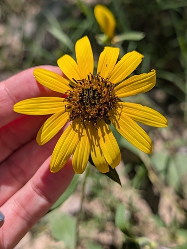
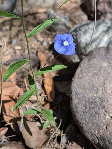
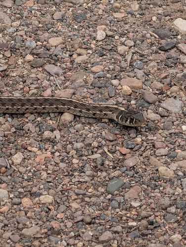
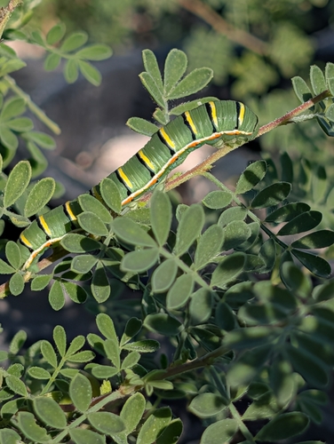
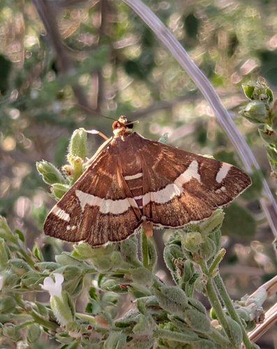
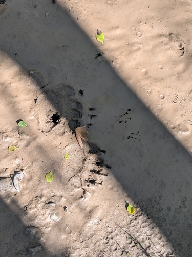
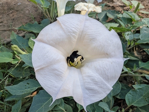
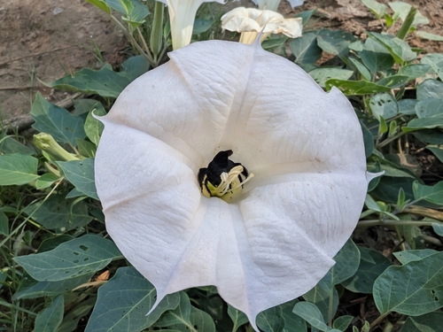

Research-grade observations from iNaturalist (within ~15 mi).
Nearest stream gauge
Events
Gallery
Sources
- • Wikipedia
- • NOAA National Weather Service
- • Wikidata
- • NCES via Urban Institute Education Data Portal
- • iNaturalist
- • CDC PLACES
- • Open-Meteo / sunrise-sunset.org
- • Wikipedia Pageviews API
- • NASA EONET