Browse / Azerbaijan / Azerbaijan / Ghaybali
Ghaybali
Azerbaijanvillage

Featured view
Ghaybali
Coordinates39.78°, 46.73°
Demographic figures from State Statistical Committee of Azerbaijan. Overview below cites Wikipedia and may reference a different year.
Loading additional data from public sources…0 / 11
CensusWikipediaWeatherPlacesPeopleEnvironmentHealth & SchoolsRelatedGeography & CultureLive MonitoringEvents & Gallery
0% completeCity facts
Overview
Ghaibalishen or Qaybali is a village that is part of the Shusha District of Azerbaijan, in the region of Nagorno-Karabakh. Until 2024, the village was controlled by the Republic of Artsakh.
Read more on WikipediaHistory & geography
Geography
Latitude
39.7772
Longitude
46.7272
Water area
—
Coordinates & boundaries from the US Census TIGER/Line shapefiles.
Climate
Air quality
Walkability
Amenities nearby
Wildlife & biodiversity
Earthquake history
Photos
Sights & places nearby
Notable people from here
M
Mövsüm Şahin oğlu Məmmədov
National Hero of Azerbaijan
N
Naib Şirinov
M
Malibeyli Hamid
Azerbaijani musical artist
M
Mahammad bey Javanshir
Azerbaijani noble
M
Muhammad Hassan Bey Veliyev- Baharly
Azerbaijani scientist
M
Maharram Alizadeh
Azerbaijani writer

Mashadi Mammad Farzaliyev
Turkish-Azerbaijani musician (1872–1962)
N
Natig Ahmedov
N
Nazim Akhundov
Azerbaijani historian

Najafgulu Bey Sheyda
Azerbaijani poet
G
Gambar Zulalov
Azerbaijani opera singer and actor
R
Rafig Huseynov
zerbaijani TV announcer, host, actor and singer
R
Rauf Aliyev
Azerbaijani composer
R
Rizvan Teymurov
National Hero of Azerbaijan
R
Rzagulu bey Akhundov
R
Rza bəy Qaraşarlı
Azerbaijani politician
People born within ~10 km, from Wikidata (CC0). Click any name for their Wikipedia article.
Nearby places in Azerbaijan
Geography & sun
Nearby airports
Public attention
Books about this place
Recent natural events nearby
Ground air-quality sensors
Recently spotted species
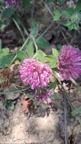
Red Clover
Trifolium pratense
Seen 2026-07-25
Egyptian Vulture
Neophron percnopterus
Seen 2025-09-04
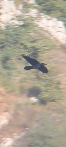
Common Raven
Corvus corax
Seen 2025-09-04
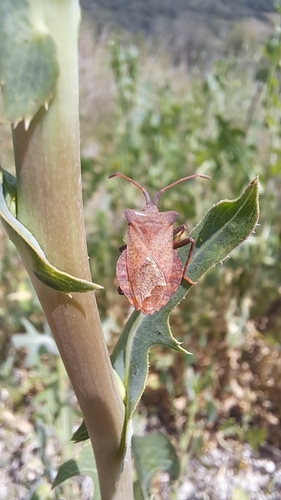
Dock Bug
Coreus marginatus
Seen 2025-07-23
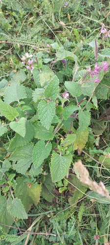
Whorled Clary
Salvia verticillata
Seen 2024-08-01
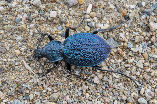
Carabus scabrosus caucasicus
Carabus scabrosus caucasicus
Seen 2022-05-25
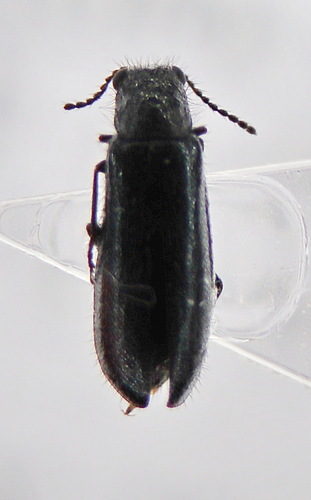
Dasytes
Dasytes
Seen 2022-05-25
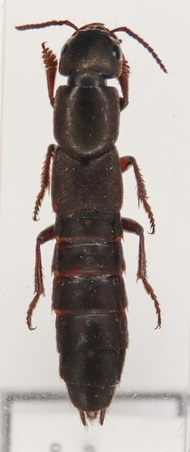
Ocypus mus
Ocypus mus
Seen 2022-05-20
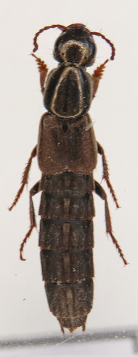
Ocypus sericeicollis
Ocypus sericeicollis
Seen 2022-05-20
Research-grade observations from iNaturalist (within ~15 mi).
Events
Gallery
Sources
- • Wikipedia
- • Wikidata
- • iNaturalist