Browse / United States / Arizona / Greer
Greer
ArizonaCDP

Greer
Total population
0
Median home value
$0
Median income
$0
Demographic figures from US Census Bureau · ACS 5-year estimates. Overview below cites Wikipedia and may reference a different year.
City facts
Facts from Wikidata (CC0).
Overview
Greer is an unincorporated community and census-designated place in Apache County, Arizona, United States. Located within the White Mountains of Arizona and surrounded by the Apache-Sitgreaves National Forest, Greer is the highest town in the state at an elevation of approximately 8,400 feet. As of the 2020 census it had a population of 58. Greer was founded circa 1879 by Mormon settlers from Utah. The Greer post office has the ZIP code of 85927.
Read more on WikipediaHistory & geography
History
Originally known as Lee Valley, Greer was founded by Latter-day Saint Willard Lee and his family in 1879. When the Lee Valley post office was built they requested a shorter name, so Greer (after Americus Vespucius Greer, a town planner who had recently moved to the area) was settled on and the small community continued to gradually develop. In 1897, a single-room schoolhouse was built. A church, library, and restaurants were later built including Molly Butler Lodge and Restaurant, which is the oldest guest lodge and restaurant in Arizona. Today there are multiple resorts, rental cabins, a general store, and two fire stations. The Sunrise Park Resort is located nearby. Just west of Greer is the remnants of the Apache Railway. The railway spanned from Holbrook near Interstate 40 and traveled south traveling through Snowflake, Pinetop-Lakeside and McNary before reaching the logging camp at Maverick, Arizona, south of Greer. Logging operations started in 1918 and in 1964 the White Mountain Scenic Railroad operated on the line. The scenic railroad ceased operations in 1976 and in 1982 the line from Maverick to McNary was removed. Surrounding the town, the scars of the Wallow Fire can be seen. The massive wildfire started in the White Mountains near Alpine, Arizona on May 29, 2011, due to the mismanagement of a campfire. The communities of Alpine, Blue River, Greer, Nutrioso, Sunrise, Springerville, and Eagar, Arizona, as well as Luna, New Mexico were evacuated. On June 8, 2011, the Wallow Fire reached the town of Greer and destroyed multiple buildings but most of the structures in town remain intact. The fire continued to grow till July 8 at 6 p.m., when it declared 100% contained. The fire destroyed 72 building and injured 16 wildland firefighters. It burned 522,642…
Geography
Greer sits at 8,356 feet in elevation and is located in the White Mountains of Arizona near the New Mexico border. It is surrounded by the Apache Sitgreaves National Forest and The little Colorado River flows through the center of town. Its position in the valley of the Little Colorado River near various lakes means that temperatures are significantly milder than surrounding areas. While Greer is a four-hour drive from Phoenix and a four-and-a-half hour drive from Tucson, it remains one of the most popular summer vacation destinations in Arizona as it is consistently 20-30 °F cooler than the deserts. Greer is about 20 minutes or 16 miles (26 km) south of Springerville and Eagar, accessed by paved road via Highways 260 and 373. From Show Low and Pinetop-Lakeside, it is 40 miles (64 km) or approximately a 45-minute drive east using Highways 260 and 373. Greer is home to Sunrise Ski Resort, the largest ski park in the state. The resort has 7 lifts that span over 3 mountains, Apache peak (11,100 ft), Cyclone Peak (10,700 ft), and Sunrise peak (10,700 ft).
Excerpted from the corresponding Wikipedia article (CC BY-SA).
Demographics & economy
Source: US Census Bureau — American Community Survey, 5-year estimates.
Geography
Coordinates & boundaries from the US Census TIGER/Line shapefiles.
Climate
Current forecast
Forecast for Greer, AZ from NOAA NWS API.
Air quality
Industrial & pollution facilities
Natural hazard risk
Health (adults)
Walkability
Amenities nearby
Wildlife & biodiversity
Schools
Earthquake history
Photos
Sights & places nearby
Notable people from here
Nearby places in Arizona
- Nutrioso15.1 mi away · pop. 427
- Vernon21.3 mi away · pop. 247
- Alpine21.3 mi away · pop. 55
- North Fork28.6 mi away · pop. 1,463
- Whiteriver30.9 mi away · pop. 4,545
- Turkey Creek31.2 mi away
- St. Johns34.5 mi away · pop. 3,395
- Canyon Day36.6 mi away
- Show Low37.6 mi away
- Snowflake50.7 mi away · pop. 6,444
- Morenci65.9 mi away
- Clifton68.2 mi away · pop. 3,822
Geography & sun
Elevation, sunrise/sunset and daylight from Open-Meteo. Solar climatology from NASA POWER.
Nearby airports
Public attention
Pageview totals from the Wikimedia Pageviews API.
Books about Greer



Search results from Open Library.
Recent natural events nearby
- Prescribed Fire D6 Wallow West Unit 6 RX, Apache, ArizonaWildfires · 2026-09-13 · 14 mi
- Prescribed Fire D7 Butler West RX, Apache, ArizonaWildfires · 2026-09-14 · 20 mi
- Prescribed Fire D7 Arab RX, Apache, ArizonaWildfires · 2026-09-14 · 21 mi
- Prescribed Fire D7 Rhoton Seep RX, Apache, ArizonaWildfires · 2026-09-14 · 22 mi
- Prescribed Fire D7 Brushy Mtn South RX, Apache, ArizonaWildfires · 2026-09-14 · 22 mi
- Prescribed Fire D7 Apprentice RX, Apache, ArizonaWildfires · 2026-09-14 · 24 mi
- Wildfire Paddy Creek, Apache, ArizonaWildfires · 2026-08-25 · 29 mi
- Prescribed Fire D3 Bear RX, Greenlee, ArizonaWildfires · 2026-10-02 · 39 mi
Wildfires, storms and other events from NASA EONET (last 12 months, within 250 mi).
Ground air-quality sensors
Recently spotted species
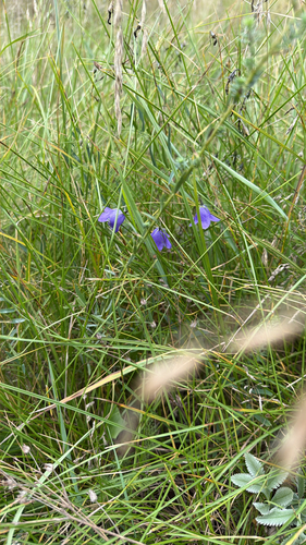
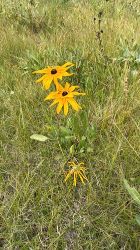
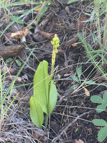
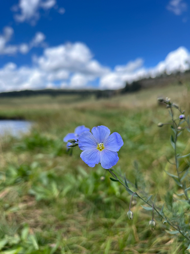
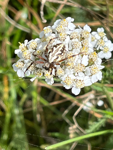
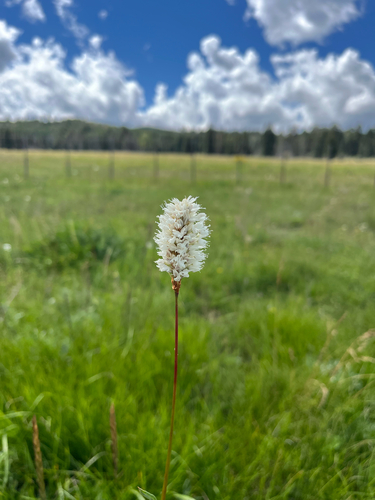
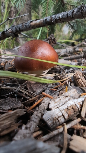
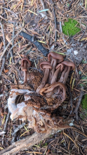
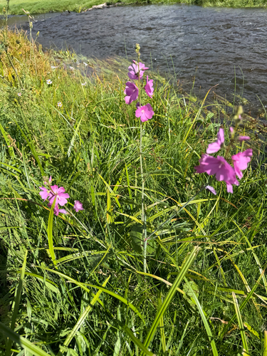
Research-grade observations from iNaturalist (within ~15 mi).
Nearest stream gauge
Events
Gallery
Sources
- • Wikipedia
- • US Census Bureau (ACS 5-year estimates)
- • NOAA National Weather Service
- • Wikidata
- • iNaturalist
- • Open-Meteo / sunrise-sunset.org
- • Wikipedia Pageviews API
- • Open Library
- • NASA EONET