Browse / United States / Arizona / Holbrook
Holbrook
Arizonacity

Holbrook
Total population
4,858
Median home value
$163,600
Bachelor's+
Median income
$56,502
Founded
1917
Demographic figures from US Census Bureau · ACS 5-year estimates. Overview below cites Wikipedia and may reference a different year.
City facts
Facts from Wikidata (CC0).
Overview
Holbrook is a city in Navajo County, Arizona, United States. As of the 2020 census, Holbrook had a population of 4,858. The city is the county seat of Navajo County.
Read more on WikipediaHistory & geography
History
The Holbrook area was inhabited first by the Ancestral Puebloans, then Puebloans, then the Navajo and Apache. In 1540 Coronado searched for the Seven Cities of Cibola and camped some east of Holbrook. Coronado sent an expedition west to find the Colorado River, and they crossed the Little Colorado some east of Holbrook and found a wonderland of colors they named "El Desierto Pintada" – The Painted Desert. The expedition was then led by the Hopis to the Grand Canyon. After the Mexican–American War ended in 1848 the area was ceded to the United States. From 1851 to 1857 the U.S. Army sent three expeditions along the 35th parallel, the third led by Lt. Beale who created a wide wagon road. The area was known as Navajo Springs, after a spring a dozen miles northeast of Holbrook. Soon afterwards a store and saloon were established at the confluence of the Puerco River and Little Colorado Rivers two miles east of Holbrook, and the area became known as Horsehead Crossing. In 1876, Mormons emigrated from Utah and began settlements near Horsehead Crossing on both the Little Colorado and Rio Puerco rivers. During 1881 and 1882, railroad tracks were laid down and a railroad station was built to supply wood and water and to freight supplies south to Fort Apache. The community was then named Holbrook after the first engineer of the Atlantic and Pacific Railroad. The railroad sold a million acres to a Boston investment group which established the Aztec Land and Cattle Company, better known as the Hashknife Outfit. It leased another million acres of government land and became one of the largest cattle ranches to ever exist. Holbrook became its headquarters and quickly grew into a cow-town. The Hashknife Outfit hired cowboys, many of whom were wanted men hiding from arrest.…
Geography
According to the United States Census Bureau, the city has a total area of , all land. Holbrook has a cold desert climate (BWk) with cold to cool winters and hot summers. Although the mean snowfall is , the median is zero, so the majority of winters do not have measurable snow. There are high diurnal temperature variations year-round.
Excerpted from the corresponding Wikipedia article (CC BY-SA).
Demographics & economy
Race & ethnicity
Source: US Census Bureau — American Community Survey, 5-year estimates.
Geography
Coordinates & boundaries from the US Census TIGER/Line shapefiles.
Climate
Current forecast
Forecast for Holbrook, AZ from NOAA NWS API.
Air quality
Industrial & pollution facilities
Natural hazard risk
Health (adults)
Age-adjusted prevalence estimates from CDC PLACES (latest release).
Walkability
Amenities nearby
Wildlife & biodiversity
Schools
Largest nearby schools
- Holbrook High SchoolHigh · HOLBROOK · 660 students · 16.9:1 ratio
- Hulet Elementary SchoolElementary · HOLBROOK · 350 students · 15.9:1 ratio
- Holbrook Junior High SchoolMiddle · HOLBROOK · 347 students · 18.3:1 ratio
- Park Elementary SchoolElementary · HOLBROOK · 148 students · 10.6:1 ratio
- Joseph City High SchoolHigh · Joseph City · 137 students · 10.5:1 ratio
- Joseph City Junior High SchoolMiddle · Joseph City · 116 students · 8.9:1 ratio
- Navajo County Instruction for Success (NCIS)High · HOLBROOK · 16 students · 16:1 ratio
- NAVIT - Northland Pioneer College PDCHigh · HOLBROOK · 5 students
Public K–12 schools within ~10 mi from Urban Institute Education Data Portal (NCES Common Core of Data, 2022).
Earthquake history
Photos
Sights & places nearby
Notable people from here


People born within ~10 km, from Wikidata (CC0). Click any name for their Wikipedia article.
Nearby places in Arizona
Geography & sun
Elevation, sunrise/sunset and daylight from Open-Meteo. Solar climatology from NASA POWER.
Nearby airports
Public attention
Pageview totals from the Wikimedia Pageviews API.
Books about Holbrook
Search results from Open Library.
Recent natural events nearby
Ground air-quality sensors
Recently spotted species
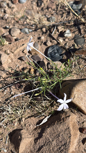
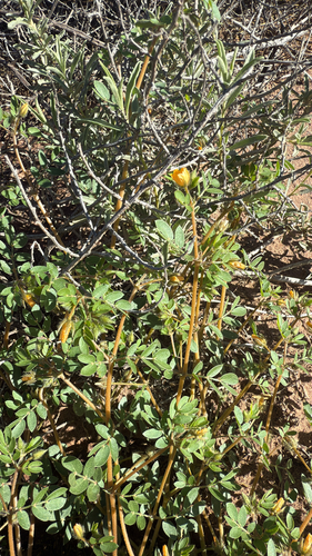
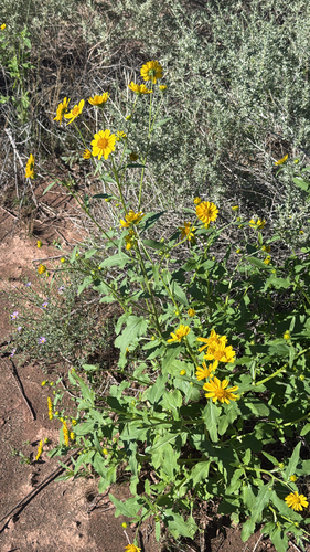
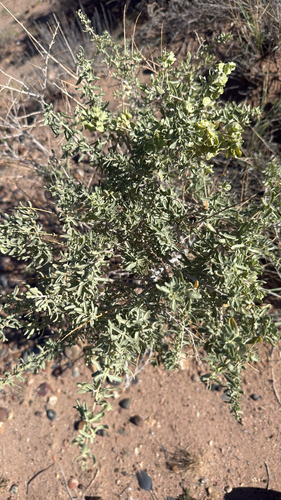
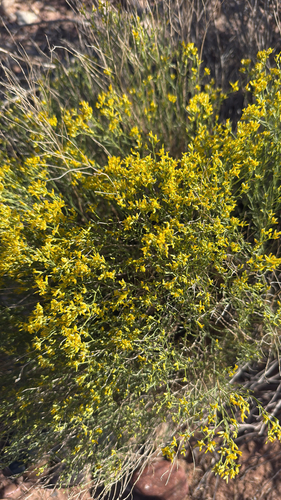
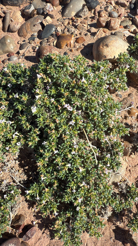
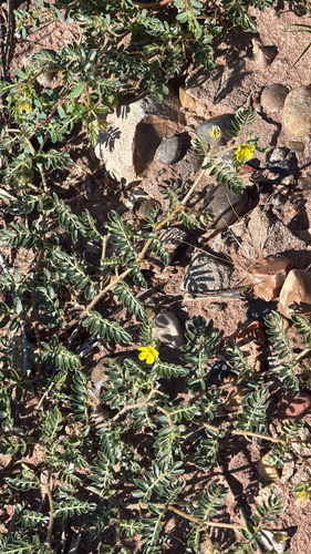
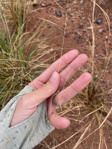
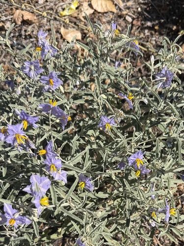
Research-grade observations from iNaturalist (within ~15 mi).
Nearest stream gauge
Events
Gallery
Sources
- • Wikipedia
- • US Census Bureau (ACS 5-year estimates)
- • NOAA National Weather Service
- • Wikidata
- • NCES via Urban Institute Education Data Portal
- • iNaturalist
- • CDC PLACES
- • Open-Meteo / sunrise-sunset.org
- • Wikipedia Pageviews API
- • Open Library