Browse / Azerbaijan / Azerbaijan / Kolanlı
Kolanlı
Azerbaijanvillage
Demographic figures from State Statistical Committee of Azerbaijan. Overview below cites Wikipedia and may reference a different year.
City facts
Overview
Within Azerbaijan, Kolanlı stands as a village. On the world map it falls within the Eastern Hemisphere, specifically at 40.069°, 48.695°. Up-to-date population figures for this locality are not available in the open datasets we monitor. The latitude suggests four distinct seasons with warm summers and cold winters. The remainder of this page draws on open public data to describe the area's demographics, climate, environment and nearby amenities.
Summary composed automatically from structured open data on this page. See our Terms for details.
History & geography
Geography
Coordinates & boundaries from the US Census TIGER/Line shapefiles.
Climate
Air quality
Walkability
Amenities nearby
Wildlife & biodiversity
Most-observed species
- Black-winged StiltHimantopus himantopus (Linnaeus, 1758) · Aves9
- White-tailed LapwingVanellus leucurus (M.H.K.Lichtenstein, 1823) · Aves8
- Green-winged TealAnas crecca Linnaeus, 1758 · Aves8
- Northern ShovelerSpatula clypeata (Linnaeus, 1758) · Aves7
- Common RedshankTringa totanus (Linnaeus, 1758) · Aves6
- Greater FlamingoPhoenicopterus roseus Pallas, 1811 · Aves6
- Little OwlAthene noctua (Scopoli, 1769) · Aves5
- MallardAnas platyrhynchos Linnaeus, 1758 · Aves5
Citizen-science & research observations from the Global Biodiversity Information Facility (GBIF).
Earthquake history
Most recent
- M 4 — 2026-09-0117 km N of Shamakhi, Azerbaijan
- M 4.4 — 2026-02-2817 km NNE of Shamakhi, Azerbaijan
- M 4.2 — 2026-02-2716 km SW of Altıağac, Azerbaijan
- M 4.1 — 2026-02-2718 km N of Shamakhi, Azerbaijan
- M 4.2 — 2026-02-2713 km SSW of Altıağac, Azerbaijan
- M 4.8 — 2026-02-2714 km NNE of Shamakhi, Azerbaijan
Events from the USGS Earthquake Catalog (global) (FDSN Event Web Service).
Photos
Sights & places nearby
Notable people from here
Geography & sun
Nearby airports
Public attention
Books about this place
Recent natural events nearby
Ground air-quality sensors
Recently spotted species
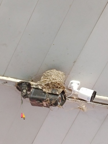
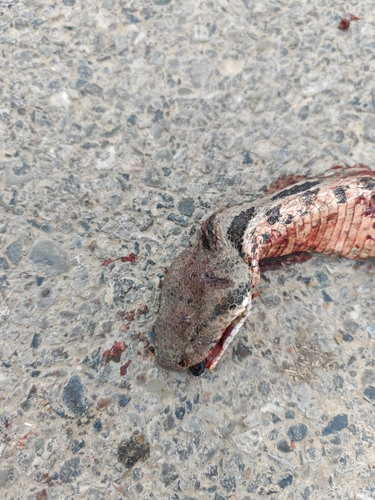
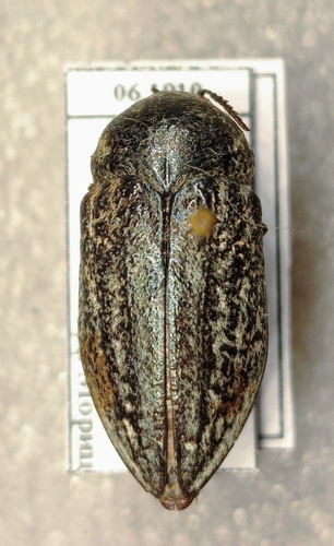
Research-grade observations from iNaturalist (within ~15 mi).
Events
Gallery
Sources
- • USGS Earthquake Catalog (global feed)
- • GBIF (Global Biodiversity Information Facility)
- • iNaturalist