Browse / United States / Arizona / Mayer
Mayer
ArizonaCDP
Total population
791
Median home value
$251,000
Bachelor's+
Median income
$55,132
Demographic figures from US Census Bureau · ACS 5-year estimates. Overview below cites Wikipedia and may reference a different year.
City facts
Overview
As a small census-designated community in Arizona, United States, Mayer occupies its own corner of the country. The settlement sits at 34.423°, -112.241°, a warm-temperate location in the northern hemisphere. Census-style estimates put the resident count near 791. Resident density is around 15 per km², indicating thinly distributed across its territory. Based on its warm temperate position, residents likely encounter warm summers and cool winters. It covers roughly 52.2 km² of land area. The location receives about 2,081 kWh/m² of solar irradiance per year and sunshine for roughly 81% of daylight hours. Further detail — demographics, climate, nearby amenities and natural-hazard data — is compiled below from public open-data sources.
Summary composed automatically from structured open data on this page. See our Terms for details.
History & geography
Demographics & economy
Race & ethnicity
Source: US Census Bureau — American Community Survey, 5-year estimates.
Geography
Coordinates & boundaries from the US Census TIGER/Line shapefiles.
Climate
Air quality
Industrial & pollution facilities
Natural hazard risk
Health (adults)
Walkability
Amenities nearby
Wildlife & biodiversity
Most-observed species
- Common RavenCorvus corax Linnaeus, 1758 · Aves1,670
- Dark-eyed JuncoJunco hyemalis (Linnaeus, 1758) · Aves1,519
- Acorn WoodpeckerMelanerpes formicivorus (Swainson, 1827) · Aves1,469
- Spotted TowheePipilo maculatus Swainson, 1827 · Aves1,353
- MallardAnas platyrhynchos Linnaeus, 1758 · Aves1,332
- House FinchHaemorhous mexicanus (P.L.Statius Müller, 1776) · Aves1,328
- White-breasted NuthatchSitta carolinensis Latham, 1790 · Aves1,303
- Mourning DoveZenaida macroura (Linnaeus, 1758) · Aves1,197
Citizen-science & research observations from the Global Biodiversity Information Facility (GBIF).
Schools
Earthquake history
Most recent
- M 2.5 — 2025-04-1514 km N of Clarkdale, Arizona
- M 2.6 — 2023-08-149 km WSW of Williams, Arizona
- M 3.8 — 2023-07-232 km E of Chino Valley, Arizona
- M 2.6 — 2020-06-065 km NW of New River, Arizona
- M 2.7 — 2017-04-269 km SSW of Parks, Arizona
- M 2.6 — 2017-03-189 km S of Parks, Arizona
Events from the USGS Earthquake Catalog (global) (FDSN Event Web Service).
Photos
Sights & places nearby
Notable people from here
Nearby places in Arizona
Geography & sun
Elevation, sunrise/sunset and daylight from Open-Meteo. Solar climatology from NASA POWER.
Nearby airports
Public attention
Pageview totals from the Wikimedia Pageviews API.
Books about Mayer

Search results from Open Library.
Recent natural events nearby
- Wildfire Campwood, Yavapai, ArizonaWildfires · 2026-08-23 · 51 mi
- Wildfire Butte, Gila, ArizonaWildfires · 2026-08-03 · 135 mi
- Wildfire Paddy Creek, Apache, ArizonaWildfires · 2026-08-25 · 158 mi
- Wildfire Island, La Paz, ArizonaWildfires · 2026-07-26 · 161 mi
Wildfires, storms and other events from NASA EONET (last 12 months, within 250 mi).
Ground air-quality sensors
Recently spotted species
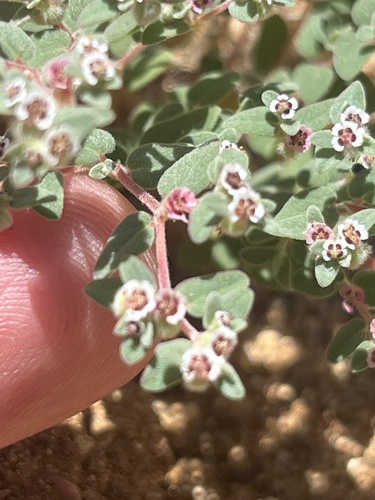
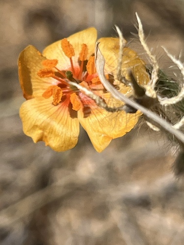
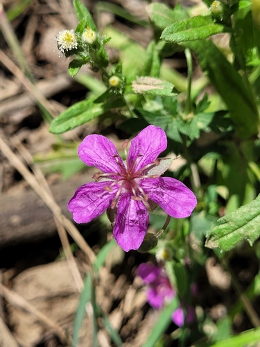
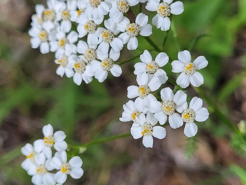
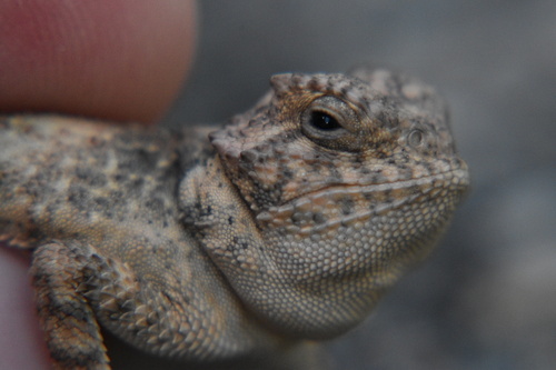
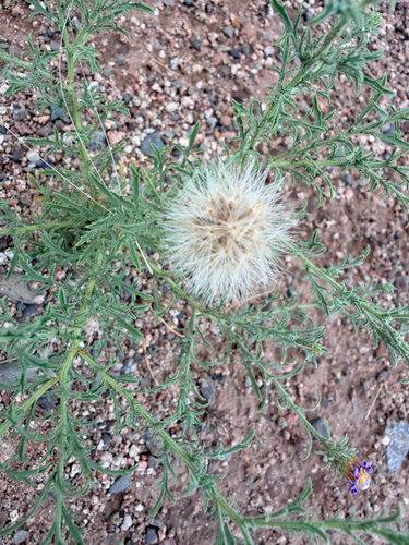
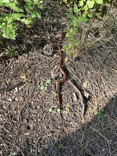
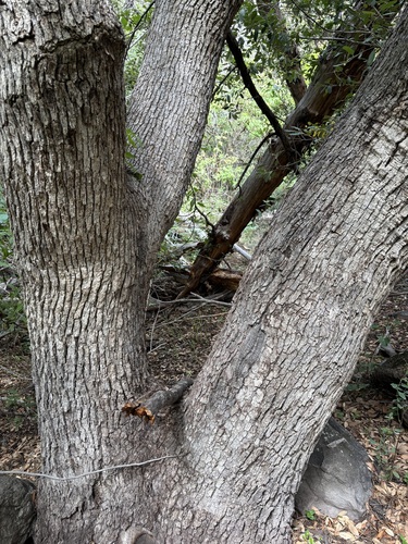
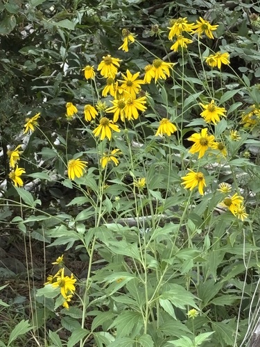
Research-grade observations from iNaturalist (within ~15 mi).
Nearest stream gauge
Events
Gallery
Sources
- • US Census Bureau (ACS 5-year estimates)
- • USGS Earthquake Catalog (global feed)
- • GBIF (Global Biodiversity Information Facility)
- • iNaturalist
- • Open-Meteo / sunrise-sunset.org
- • Wikipedia Pageviews API
- • Open Library
- • NASA EONET