Browse / United States / Arizona / Phoenix
Phoenix
Arizonacity

Phoenix
Total population
1,673,122
Median home value
$454,900
Bachelor's+
Median income
$85,246
Founded
1868
Air quality index
Demographic figures from US Census Bureau · ACS 5-year estimates. Overview below cites Wikipedia and may reference a different year.
City facts
Facts from Wikidata (CC0).
Overview
Phoenix is the capital and most populous city of the U.S. state of Arizona. With over 1.6 million residents at the 2020 census, Phoenix is the fifth-most populous city in the United States and the most populous state capital. The Phoenix metropolitan area, with an estimated 5.19 million residents, is the tenth-most populous metropolitan area in the U.S. and the most populous in the Mountain states and Southwest. Phoenix is the county seat of Maricopa County in the Salt River Valley and Arizona Sun Corridor and, with an area of 517.9 square miles, is the largest city by area in Arizona and 11th-largest city by area in the United States.
Read more on WikipediaHistory & geography
History
The Hohokam people occupied the Phoenix area for 2,000 years. They created roughly of irrigation canals, making the desert land arable, and paths of these canals were used for the Arizona Canal, Central Arizona Project Canal, and the Hayden-Rhodes Aqueduct. They also carried out extensive trade with the nearby Ancestral Puebloans, Mogollon, and Sinagua, as well as with the more distant Mesoamerican civilizations. It is believed periods of drought and severe floods between 1300 and 1450 led to the Hohokam civilization's abandonment of the area. After the departure of the Hohokam, groups of Akimel O'odham (commonly known as Pima), Tohono O'odham, and Maricopa tribes began to use the area, as well as segments of the Yavapai and Apache. The O'odham were offshoots of the Sobaipuri tribe, who in turn were thought to be the descendants of the Hohokam. The Akimel O'odham were the major group in the area. They lived in small villages with well-defined irrigation systems that spread over the Gila River Valley, from Florence in the east to the Estrellas in the west. Their crops included corn, beans, and squash for food as well as cotton and tobacco. They banded with the Maricopa for protection against incursions by the Yuma and Apache tribes. The Maricopa are part of the larger Yuma people; however, they migrated east from the lower Colorado and Gila Rivers in the early 1800s, when they began to be enemies with other Yuma tribes, settling among the existing communities of the Akimel O'odham. The Tohono O'odham also lived in the region, but largely to the south and all the way to the Mexican border. The O'odham lived in small settlements as seasonal farmers who took advantage of the rains, rather than the large-scale irrigation of the Akimel. They grew crops such as sweet…
Geography
Phoenix is in the south-central portion of Arizona; about halfway between Tucson to the southeast and Flagstaff to the north, in the Southwestern United States. By car, Phoenix is approximately north of the US–Mexico border at Sonoyta and north of the border at Nogales. The metropolitan area is known as the "Valley of the Sun" due to its location in the Salt River Valley. Other than the mountains in and around the city, Phoenix's topography is generally flat, which allows the city's main streets to run on a precise grid with wide, open-spaced roadways. Scattered, low mountain ranges surround the valley: McDowell Mountains to the northeast, the White Tank Mountains to the west, the Superstition Mountains far to the east, and both South Mountain and the Sierra Estrella to the south/southwest. Camelback Mountain, North Mountain, Sunnyslope Mountain, and Piestewa Peak are within the heart of the valley. The city's outskirts have large fields of irrigated cropland and Native American reservation lands. The Salt River runs westward through Phoenix, but the riverbed is often dry or contains little water due to large irrigation diversions. South Mountain separates the community of Ahwatukee from the rest of the city. According to the United States Census Bureau, the city has an area of , of which is land and , or 0.2%, is water. Maricopa County grew by 711% from 186,000 in 1940 to 1,509,000 by 1980, due in part to air conditioning, cheap housing, and an influx of retirees. The once "modest urban sprawl" now "grew by 'epic' proportions—not only a myriad of residential tract developments on both farmland and desert". Retail outlets and office complexes spread out and did not concentrate in the small downtown area. There was low population density and a lack of widespread…
Excerpted from the corresponding Wikipedia article (CC BY-SA).
Demographics & economy
Race & ethnicity
Source: US Census Bureau — American Community Survey, 5-year estimates.
Geography
Coordinates & boundaries from the US Census TIGER/Line shapefiles.
Climate
10-year averages from ERA5 reanalysis (Open-Meteo).
Current forecast
Forecast for Phoenix, AZ from NOAA NWS API.
Air quality
Current readings from Open-Meteo Air Quality API (Copernicus CAMS European reanalysis).
Industrial & pollution facilities
Natural hazard risk
Health (adults)
Age-adjusted prevalence estimates from CDC PLACES (latest release).
Walkability
Amenities nearby
Wildlife & biodiversity
Most-observed species
- Mourning DoveZenaida macroura (Linnaeus, 1758) · Aves40,110
- Great-tailed GrackleQuiscalus mexicanus (Gmelin, 1788) · Aves37,110
- House FinchHaemorhous mexicanus (P.L.Statius Müller, 1776) · Aves33,592
- Gila WoodpeckerMelanerpes uropygialis (S.F.Baird, 1854) · Aves33,294
- Northern MockingbirdMimus polyglottos (Linnaeus, 1758) · Aves32,421
- European StarlingSturnus vulgaris Linnaeus, 1758 · Aves32,319
- Curve-billed ThrasherToxostoma curvirostre (Swainson, 1827) · Aves32,024
- VerdinAuriparus flaviceps (Sundevall, 1850) · Aves31,675
Citizen-science & research observations from the Global Biodiversity Information Facility (GBIF).
Schools
Largest nearby schools
- Arizona Virtual AcademyOther · PHOENIX · 5,122 students
- Trevor Browne High SchoolHigh · PHOENIX · 2,921 students · 20:1 ratio
- Maryvale High SchoolHigh · PHOENIX · 2,795 students · 20.3:1 ratio
- Pinnacle High SchoolHigh · PHOENIX · 2,479 students · 23.6:1 ratio
- Alhambra High SchoolHigh · PHOENIX · 2,282 students · 18.3:1 ratio
- Sunnyslope High SchoolHigh · PHOENIX · 2,281 students · 24.3:1 ratio
- Camelback High SchoolHigh · PHOENIX · 2,238 students · 18.5:1 ratio
- Carl Hayden High SchoolHigh · PHOENIX · 2,217 students · 19.3:1 ratio
Public K–12 schools within ~10 mi from Urban Institute Education Data Portal (NCES Common Core of Data, 2022).
Earthquake history
Most recent
- M 2.6 — 2022-02-251 km S of Roosevelt, Arizona
- M 2.5 — 2022-02-156 km S of Roosevelt, Arizona
- M 2.5 — 2022-02-122 km ESE of Roosevelt, Arizona
- M 2.6 — 2020-06-065 km NW of New River, Arizona
- M 3.2 — 2016-12-1011 km ENE of Rio Verde, Arizona
- M 3.6 — 2015-11-024 km NNE of Black Canyon City, Arizona
Events from the USGS Earthquake Catalog (global) (FDSN Event Web Service).
Photos
Sights & places nearby
Notable people from here
Nearby places in Arizona
- Youngtown12.4 mi away · pop. 7,015
- El Mirage13.7 mi away · pop. 35,805
- Tempe15.6 mi away · pop. 190,113
- Guadalupe16 mi away · pop. 5,272
- Litchfield Park16.3 mi away · pop. 6,916
- Maricopa Colony16.5 mi away
- Gila Crossing21.1 mi away
- Santa Cruz23.8 mi away
- Mesa24.6 mi away · pop. 517,142
- Gilbert27 mi away · pop. 288,797
- Wittmann28.7 mi away · pop. 631
- Goodyear Village28.8 mi away · pop. 590
Geography & sun
Elevation, sunrise/sunset and daylight from Open-Meteo. Solar climatology from NASA POWER.
Nearby airports
Public attention
Pageview totals from the Wikimedia Pageviews API.
Books about Phoenix





Search results from Open Library.
Recent natural events nearby
- Prescribed Fire D2 Vincent RX, Coconino, ArizonaWildfires · 2026-09-17 · 88 mi
- Prescribed Fire D2 Dye RX, Coconino, ArizonaWildfires · 2026-09-17 · 90 mi
- Wildfire Campwood, Yavapai, ArizonaWildfires · 2026-08-23 · 93 mi
- Wildfire Butte, Gila, ArizonaWildfires · 2026-08-03 · 111 mi
- Prescribed Fire Walker Hill Piles RX, Coconino, ArizonaWildfires · 2026-09-28 · 119 mi
- Prescribed Fire D7 Morgan Unit 5 RX, Navajo, ArizonaWildfires · 2026-09-14 · 122 mi
- Prescribed Fire D7 Brushy Mtn South RX, Apache, ArizonaWildfires · 2026-09-14 · 136 mi
- Prescribed Fire D7 Rhoton Seep RX, Apache, ArizonaWildfires · 2026-09-14 · 137 mi
Wildfires, storms and other events from NASA EONET (last 12 months, within 250 mi).
Ground air-quality sensors
Recently spotted species
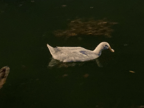
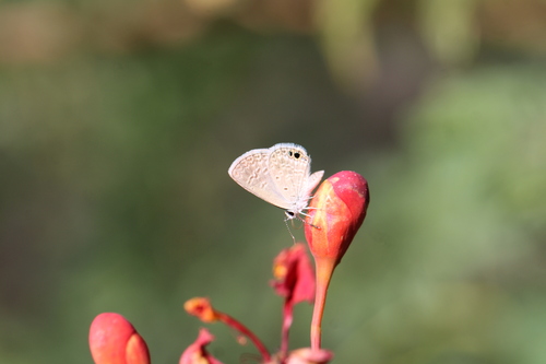
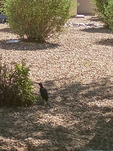
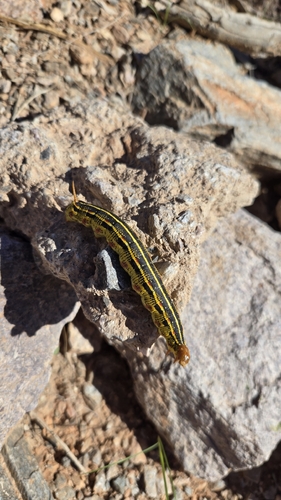
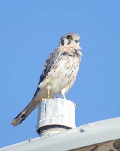
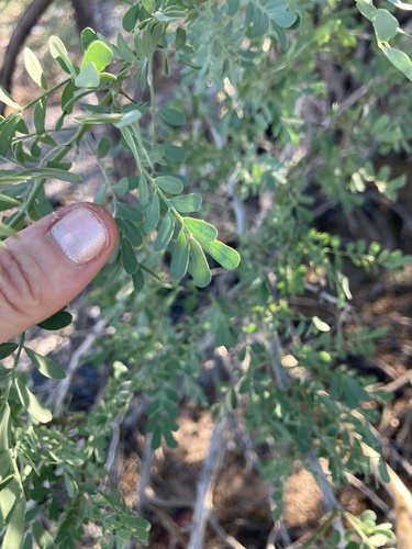
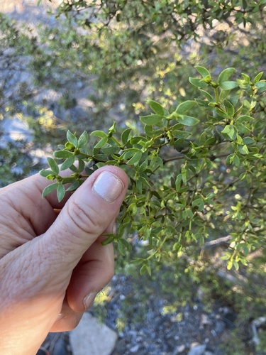
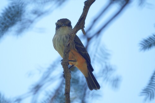
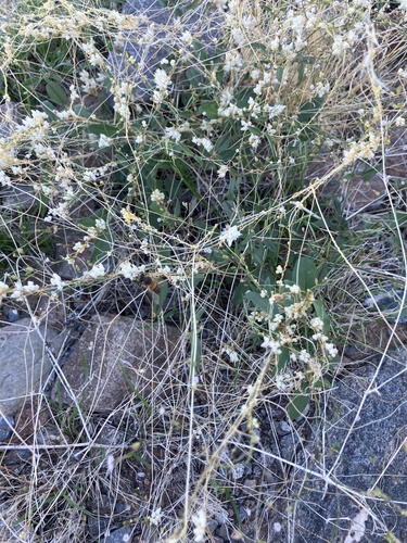
Research-grade observations from iNaturalist (within ~15 mi).
Nearest stream gauge
Live readings from USGS NWIS · measured 2026-06-27 17:45 UTC.
Events
Notable, recurring, and historical events associated with Phoenix, sourced from Wikidata.
- Phoenix Film Critics Society Awards 2014Jan 1, 2014award ceremony
- Phoenix Film Critics Society Awards 2013Jan 1, 2013award ceremony
- Phoenix Film Critics Society Awards 2012Jan 1, 2012award ceremony
- Phoenix Film Critics Society Awards 2011Jan 1, 2011award ceremony
- Phoenix Film Critics Society Awards 2010Jan 1, 2010award ceremony
- Phoenix Film Critics Society Awards 2009Jan 1, 2009award ceremony
- Jul 2, 1992
- Jul 1, 1988
- Jul 2, 1982
Source: Wikidata (CC0).
Gallery
Geotagged photos within ~6 miles of Phoenix, from Wikimedia Commons contributors.
 0.5 mi
.JPG) 0.7 mi
0.7 mi 0.7 mi
 0.7 mi
 0.7 mi
 0.7 mi
 0.7 mi
 0.7 mi
 0.7 mi
 0.7 mi
 0.9 mi
 0.9 mi
 1.2 mi
.JPG) 1.4 mi
1.4 mi.JPG) 1.4 mi
1.4 mi.JPG) 1.4 mi
1.4 mi.JPG) 1.4 mi
1.4 mi 1.4 mi
 1.5 mi
 1.7 mi
.JPG) 1.8 mi
1.8 mi.JPG) 1.8 mi
1.8 mi.JPG) 1.8 mi
1.8 mi.JPG) 1.8 mi
1.8 miPhotos via Wikimedia Commons — see each image page for license & attribution.
Sources
- • Wikipedia
- • US Census Bureau (ACS 5-year estimates)
- • Open-Meteo (ERA5 reanalysis)
- • NOAA National Weather Service
- • Wikimedia Commons
- • Wikidata
- • Open-Meteo Air Quality (CAMS)
- • USGS Earthquake Catalog (global feed)
- • USGS NWIS (water data)
- • NCES via Urban Institute Education Data Portal
- • GBIF (Global Biodiversity Information Facility)
- • iNaturalist
- • CDC PLACES
- • Open-Elevation
- • Open-Meteo / sunrise-sunset.org
- • Wikipedia Pageviews API
- • Open Library
- • NASA EONET