Browse / United States / Arizona / Scottsdale
Scottsdale
Arizonacity

Scottsdale
Total population
246,183
Median home value
$856,700
Bachelor's+
Median income
$104,893
Founded
1894
Air quality index
Demographic figures from US Census Bureau · ACS 5-year estimates. Overview below cites Wikipedia and may reference a different year.
City facts
Sister cities
Facts from Wikidata (CC0).
Overview
Scottsdale is a city in eastern Maricopa County, Arizona, United States, and is part of the Phoenix metropolitan area. Named Scottsdale in 1894 after its founder Winfield Scott, a retired U.S. Army chaplain, the city was incorporated in 1951 with a population of 2,000. At the 2020 census, the population was 241,361, which had grown from 217,385 in 2010. Its slogan is "The West's Most Western Town". Over the past two decades, it has been one of the fastest growing cities and housing markets in the United States.
Read more on WikipediaHistory & geography
History
Scottsdale was originally an Akimel O'odham village known as , meaning . Some Akimel O'odham remain there today. Until the late 1960s, there was a still-occupied traditional dwelling on the southeast corner of Indian Bend Road and Hayden Road. The Akimel O'odham who live in Scottsdale today reside in modern houses, not traditional dwellings. Many Akimel O'odham and Maricopa people live in the Salt River Pima-Maricopa Indian Community, which borders Scottsdale to the south and east. In the early to mid-1880s, U.S. Army Chaplain Winfield Scott visited the Salt River Valley and was impressed with it and its potential for agriculture. Returning in 1888 with his wife, Helen, he purchased where historic Old Town is now, for $3.50 an acre ( as of 2025). Another landowner in the Southern part of town, Albert G. Utley, filed plans with Maricopa County for a city named "Orangedale", using Scott's Field as a border. When the newspaper, then called the Arizona Republican, published an article about the plan, they erroneously called the town "Scottsdale". The article drew some publicity for the town, and ultimately this convinced Utley to change his filing and officially name the town "Scottsdale". In 1896, the Scottsdale Public School system was established, In the early 1900s the community supported an artists' and writers' culture, Also in 1909, Cavalliere's Blacksmith Shop opened in downtown Scottsdale, and the original schoolhouse was replaced by the much more expansive Little Red Schoolhouse, which stands to this day. While not in its original building, Cavalliere's has been in continuous operation since that time. In 1912, both the Phoenix Street Railway Company and a competitor, the Salt River Valley Electric Railway Company, proposed building streetcar lines to…
Geography
The city is in the Salt River Valley, or the "Valley of the Sun", in the northern reaches of the Sonoran Desert. Scottsdale, long and wide at its widest point, shares boundaries with many other municipalities and entities. On the west, Scottsdale is bordered by Phoenix, Paradise Valley and unincorporated Maricopa County land. Carefree is along the eastern boundary, as well as sharing Scottsdale's northern boundary with the Tonto National Forest. To the south Scottsdale is bordered by Tempe. The southern boundary is also occupied by the Salt River Pima-Maricopa Indian Community, which extends along the eastern boundary, which also borders Fountain Hills, the McDowell Mountain Regional Park and more unincorporated Maricopa County land. The highest point is Butte Peak at an elevation of . According to the United States Census Bureau, the city has an area of , of which , or 0.24%, are water. In 1981, TCE began to show up in two Scottsdale drinking wells, and in 1983, the Indian Bend Wash superfund site was listed on the Environmental Protection Agency's National Priorities List. The city is loosely divided into four areas: South Scottsdale (McKellips Road north to Thomas Road), Old Town (Downtown) Scottsdale, Central Scottsdale (also known as the Shea Corridor, extending from Camelback Road north to Shea Boulevard), and North Scottsdale. South Scottsdale has for many years been the working-class neighborhood. The median resale home price is US$291,500, compared to $667,450 in North Scottsdale. Part of McDowell Road in South Scottsdale used to be known as Motor Mile, having at one time 31 dealerships on the street. The strip at one time generated over $10 million in sales tax revenue each year and was one of the most profitable auto-miles in the United States. In…
Excerpted from the corresponding Wikipedia article (CC BY-SA).
Demographics & economy
Race & ethnicity
Source: US Census Bureau — American Community Survey, 5-year estimates.
Geography
Coordinates & boundaries from the US Census TIGER/Line shapefiles.
Climate
Current forecast
Forecast for Scottsdale, AZ from NOAA NWS API.
Air quality
Current readings from Open-Meteo Air Quality API (Copernicus CAMS European reanalysis).
Industrial & pollution facilities
Natural hazard risk
Health (adults)
Age-adjusted prevalence estimates from CDC PLACES (latest release).
Walkability
Amenities nearby
Wildlife & biodiversity
Most-observed species
- Mourning DoveZenaida macroura (Linnaeus, 1758) · Aves21,486
- Gila WoodpeckerMelanerpes uropygialis (S.F.Baird, 1854) · Aves20,988
- House FinchHaemorhous mexicanus (P.L.Statius Müller, 1776) · Aves18,925
- VerdinAuriparus flaviceps (Sundevall, 1850) · Aves17,598
- Curve-billed ThrasherToxostoma curvirostre (Swainson, 1827) · Aves17,502
- Gambel's QuailCallipepla gambelii (Gambel, 1843) · Aves16,929
- Anna's HummingbirdCalypte anna (R.Lesson, 1829) · Aves14,517
- Northern MockingbirdMimus polyglottos (Linnaeus, 1758) · Aves14,148
Citizen-science & research observations from the Global Biodiversity Information Facility (GBIF).
Schools
Largest nearby schools
- Pinnacle High SchoolHigh · PHOENIX · 2,479 students · 23.6:1 ratio
- Chaparral High SchoolHigh · SCOTTSDALE · 2,038 students · 22.6:1 ratio
- Horizon High SchoolHigh · SCOTTSDALE · 1,905 students · 23:1 ratio
- Desert Mountain High SchoolHigh · Scottsdale · 1,880 students · 21.6:1 ratio
- Paradise Valley High SchoolHigh · PHOENIX · 1,874 students · 18.4:1 ratio
- Cactus Shadows High SchoolHigh · Scottsdale · 1,588 students · 20.9:1 ratio
- Great Hearts Academies - Archway ScottsdaleElementary · Scottsdale · 1,059 students
- BASIS ScottsdaleOther · SCOTTSDALE · 994 students
Public K–12 schools within ~10 mi from Urban Institute Education Data Portal (NCES Common Core of Data, 2022).
Earthquake history
Most recent
- M 2.6 — 2022-02-251 km S of Roosevelt, Arizona
- M 2.5 — 2022-02-156 km S of Roosevelt, Arizona
- M 2.5 — 2022-02-122 km ESE of Roosevelt, Arizona
- M 2.6 — 2020-06-065 km NW of New River, Arizona
- M 3.2 — 2016-12-1011 km ENE of Rio Verde, Arizona
- M 3.6 — 2015-11-024 km NNE of Black Canyon City, Arizona
Events from the USGS Earthquake Catalog (global) (FDSN Event Web Service).
Photos
Sights & places nearby
Notable people from here
Nearby places in Arizona
Geography & sun
Elevation, sunrise/sunset and daylight from Open-Meteo. Solar climatology from NASA POWER.
Nearby airports
Public attention
Pageview totals from the Wikimedia Pageviews API.
Books about Scottsdale


Search results from Open Library.
Recent natural events nearby
- AFM - Hazen Wildfire, Maricopa, ArizonaWildfires · 2026-05-02 · 49 mi
- Hummingbird Wildfire, Catron, New MexicoWildfires · 2026-04-21 · 188 mi
- Dellenbaugh Wildfire, Mohave, ArizonaWildfires · 2026-06-15 · 190 mi
- Bear Wildfire, Catron, New MexicoWildfires · 2026-06-09 · 206 mi
- Rock Canyon Wildfire, Coconino, ArizonaWildfires · 2026-06-15 · 224 mi
Wildfires, storms and other events from NASA EONET (last 12 months, within 250 mi).
Ground air-quality sensors
Recently spotted species
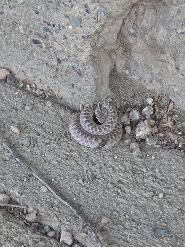
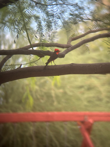
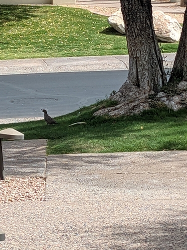
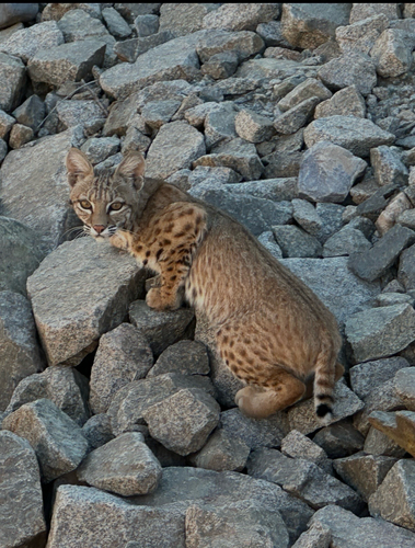
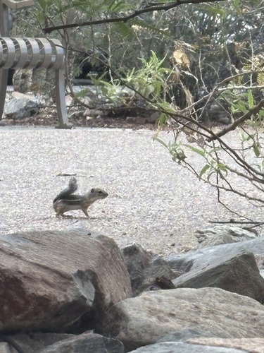
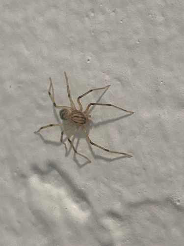
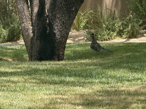
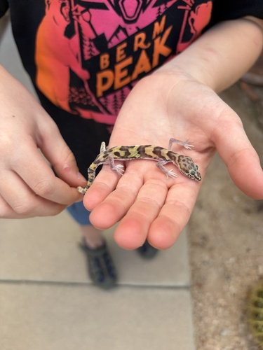
Research-grade observations from iNaturalist (within ~15 mi).
Nearest stream gauge
Live readings from USGS NWIS · measured 2026-06-27 18:00 UTC.
Events
Gallery
Geotagged photos within ~6 miles of Scottsdale, from Wikimedia Commons contributors.
 0.6 mi
.jpg) 0.6 mi
0.6 mi.jpg) 0.6 mi
0.6 mi.jpg) 0.6 mi
0.6 mi.jpg) 0.6 mi
0.6 mi.jpg) 0.6 mi
0.6 mi.jpg) 0.6 mi
0.6 mi.jpg) 0.6 mi
0.6 mi.jpg) 0.6 mi
0.6 mi.jpg) 0.6 mi
0.6 mi.jpg) 0.6 mi
0.6 mi.jpg) 0.6 mi
0.6 mi.jpg) 0.6 mi
0.6 mi.jpg) 0.6 mi
0.6 mi.jpg) 0.6 mi
0.6 mi.jpg) 0.6 mi
0.6 mi.jpg) 0.6 mi
0.6 mi.jpg) 0.6 mi
0.6 mi.jpg) 0.6 mi
0.6 mi.jpg) 0.6 mi
0.6 mi.jpg) 0.6 mi
0.6 mi.jpg) 0.6 mi
0.6 mi.jpg) 0.6 mi
0.6 mi.jpg) 0.6 mi
0.6 miPhotos via Wikimedia Commons — see each image page for license & attribution.
Sources
- • Wikipedia
- • US Census Bureau (ACS 5-year estimates)
- • NOAA National Weather Service
- • Wikimedia Commons
- • Wikidata
- • Open-Meteo Air Quality (CAMS)
- • USGS Earthquake Catalog (global feed)
- • USGS NWIS (water data)
- • NCES via Urban Institute Education Data Portal
- • GBIF (Global Biodiversity Information Facility)
- • iNaturalist
- • CDC PLACES
- • Open-Elevation
- • Open-Meteo / sunrise-sunset.org
- • Wikipedia Pageviews API
- • Open Library
- • NASA EONET