Browse / United States / Arizona / Sierra Vista
Sierra Vista
Arizonacity

Sierra Vista
Total population
45,155
Median home value
$254,200
Bachelor's+
Median income
$70,291
Founded
1956
Demographic figures from US Census Bureau · ACS 5-year estimates. Overview below cites Wikipedia and may reference a different year.
- High Wind Warning · SevereHigh Wind Warning issued October 16 at 2:24PM MST until October 17 at 5:00AM MST by NWS Tucson AZ
- Wind Advisory · ModerateWind Advisory issued October 16 at 2:24PM MST until October 17 at 2:00PM MST by NWS Tucson AZ
- Air Quality Alert · UnknownAir Quality Alert issued October 15 at 9:47AM MST by NWS Tucson AZ
Source: NOAA National Weather Service.
City facts
Sister cities
Facts from Wikidata (CC0).
Overview
Sierra Vista is a city in Cochise County, Arizona, United States. According to the 2020 Census, the population of the city is 45,308, and is the 27th most populous city in Arizona. The city is part of the Sierra Vista-Douglas Metropolitan Area, with a 2010 population of 131,346. Fort Huachuca, a U.S. Army post, has been incorporated and is located in the northwest part of the city. Sierra Vista is bordered by the cities of Huachuca City and Whetstone to the north and Sierra Vista Southeast to the South.
Read more on WikipediaHistory & geography
History
As evidenced by several neolithic sites, which include the Murray Springs Clovis Site and known archeological sites like the Lehner Mammoth-Kill Site, Paleo-Indians, along with animals including mammoths, horses, tapirs, bison, and camels occupied the area more than 11,000 years ago. Both the Murray Springs Clovis Site and the Lehner Mammoth-Kill Site became National Historic Landmarks. This area was home to a large Sobaipuri Pueblo near Fairbank which had several smaller pueblos and settlements throughout the valley, a Spanish Fort, Presidio Santa Cruz de Terrenate between modern Huachuca City , Whetstone, and Tombstone, on the west bank of the San Pedro River. Coronado National Memorial was established in the southern Huachuca Mountains to commemorate the expedition of the Spanish conquistador Francisco Vázquez de Coronado utilizing the nearby San Pedro River in his northward search of the Cities of Cíbola, which are often referred to as the mythical Seven Cities of Gold. Like most of Cochise County, this area was part of the Gadsden Purchase of 1854. Camp Huachuca was established in 1877. At the end of the Apache Wars in 1886, with the protection of the fort and the completion of the Southern Pacific and El Paso & Southwestern railroads, the San Pedro Valley began to be populated by American settlers. The first business that opened just outside the east gate of Fort Huachuca was a saloon and "house of ill repute" owned by John and Ellen Reilly, which opened in 1892. In 1911, Margaret Carmichael bought the Reilly homestead and business. By 1913, Margaret Carmichael had leased the business back to the Reillys. Also in 1913, a group of dry land farmers settled in the local area and named their settlement Buena. Buena was east of Garden Canyon, between Lewis Springs…
Geography
Sierra Vista is in southwestern Cochise County at (31.545498, −110.276500). It is bordered on the northwest by the much smaller town of Huachuca City. According to the United States Census Bureau, the city has an area of , of which is land and is water. It is above sea level. Sierra Vista is flanked on the southwest side by the Huachuca Mountains, with Miller Peak rising to and Carr Peak to , both south of the city limits. The city is accessible via Arizona State Routes 90 and 92. The San Pedro River flows just east of the city limits. In the Köppen climate classification system, Sierra Vista falls within the typical cold semi-arid climate (BSk) of mid-altitude Arizona. Fall and spring, like most other parts of Arizona, are very dry. Winters are cool to cold with frosts which can occasionally be hard freezes; frost can be expected to stop in mid- to late April. Spring, like fall, spends about half of itself within the frost season. Summer starts off dry, but progressively gets wetter as the monsoon season approaches. The city has a fairly stable climate with very little humidity. However, the North American Monsoon can bring torrential rains during the months of July and August and will produce almost half the yearly rainfall in just those two months alone. Due to the dry climate the rest of the year and the city's high elevation, daily winter low temperatures range from on average and up to on rare occasions when moist fronts bring warm air from the Gulf of California. Snow is not a common sight on the streets of Sierra Vista though some years the city can receive several inches of snow and other years it will receive none. However, a snow-capped Miller Peak and Carr Peak in the Huachuca Mountains is a common sight for four to five months every year. The…
Excerpted from the corresponding Wikipedia article (CC BY-SA).
Demographics & economy
Race & ethnicity
Source: US Census Bureau — American Community Survey, 5-year estimates.
Geography
Coordinates & boundaries from the US Census TIGER/Line shapefiles.
Climate
Current forecast
Forecast for Sierra Vista, AZ from NOAA NWS API.
Air quality
Industrial & pollution facilities
Natural hazard risk
Health (adults)
Age-adjusted prevalence estimates from CDC PLACES (latest release).
Walkability
Amenities nearby
Wildlife & biodiversity
Most-observed species
- Lesser GoldfinchSpinus psaltria (Say, 1822) · Aves26,274
- Mourning DoveZenaida macroura (Linnaeus, 1758) · Aves24,865
- House FinchHaemorhous mexicanus (P.L.Statius Müller, 1776) · Aves22,770
- White-winged DoveZenaida asiatica (Linnaeus, 1758) · Aves22,610
- Acorn WoodpeckerMelanerpes formicivorus (Swainson, 1827) · Aves19,989
- White-breasted NuthatchSitta carolinensis Latham, 1790 · Aves19,528
- Turkey VultureCathartes aura (Linnaeus, 1758) · Aves17,413
- Anna's HummingbirdCalypte anna (R.Lesson, 1829) · Aves17,191
Citizen-science & research observations from the Global Biodiversity Information Facility (GBIF).
Schools
Largest nearby schools
- Buena High SchoolHigh · SIERRA VISTA · 1,836 students · 24.2:1 ratio
- Joyce Clark Middle SchoolMiddle · SIERRA VISTA · 670 students · 20.9:1 ratio
- Leman Academy of Excellence-Sierra VistaElementary · SIERRA VISTA · 592 students
- Coronado Elementary SchoolElementary · SIERRA VISTA · 444 students · 18.5:1 ratio
- Town & Country Elementary SchoolElementary · SIERRA VISTA · 433 students · 22.8:1 ratio
- Huachuca Mountain Elementary SchoolElementary · SIERRA VISTA · 416 students · 18.9:1 ratio
- Village Meadows Elementary SchoolElementary · SIERRA VISTA · 394 students · 20.7:1 ratio
- Pueblo Del Sol Elementary SchoolElementary · SIERRA VISTA · 383 students · 18.2:1 ratio
Public K–12 schools within ~10 mi from Urban Institute Education Data Portal (NCES Common Core of Data, 2022).
Earthquake history
Most recent
- M 2.6 — 2025-08-0914 km ENE of Willow Canyon, Arizona
- M 3.1 — 2023-09-2821 km E of Tanque Verde, Arizona
- M 2.5 — 2021-05-1513 km SW of Cananea, Mexico
Events from the USGS Earthquake Catalog (global) (FDSN Event Web Service).
Photos
Sights & places nearby
Notable people from here


People born within ~10 km, from Wikidata (CC0). Click any name for their Wikipedia article.
Geography & sun
Elevation, sunrise/sunset and daylight from Open-Meteo. Solar climatology from NASA POWER.
Nearby airports
Public attention
Pageview totals from the Wikimedia Pageviews API.
Books about Sierra Vista
Search results from Open Library.
Recent natural events nearby
- Wildfire Butte, Gila, ArizonaWildfires · 2026-08-03 · 135 mi
- Prescribed Fire D3 Bear RX, Greenlee, ArizonaWildfires · 2026-10-02 · 140 mi
- Wildfire Paddy Creek, Apache, ArizonaWildfires · 2026-08-25 · 147 mi
- Prescribed Fire D6 Wallow West Unit 6 RX, Apache, ArizonaWildfires · 2026-09-13 · 163 mi
- Prescribed Fire D7 Brushy Mtn South RX, Apache, ArizonaWildfires · 2026-09-14 · 179 mi
- Prescribed Fire D7 Rhoton Seep RX, Apache, ArizonaWildfires · 2026-09-14 · 181 mi
- Prescribed Fire D7 Apprentice RX, Apache, ArizonaWildfires · 2026-09-14 · 183 mi
- Prescribed Fire D7 Morgan Unit 5 RX, Navajo, ArizonaWildfires · 2026-09-14 · 184 mi
Wildfires, storms and other events from NASA EONET (last 12 months, within 250 mi).
Ground air-quality sensors
Recently spotted species
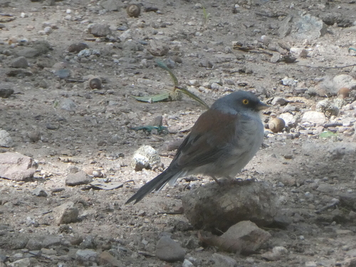
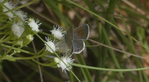
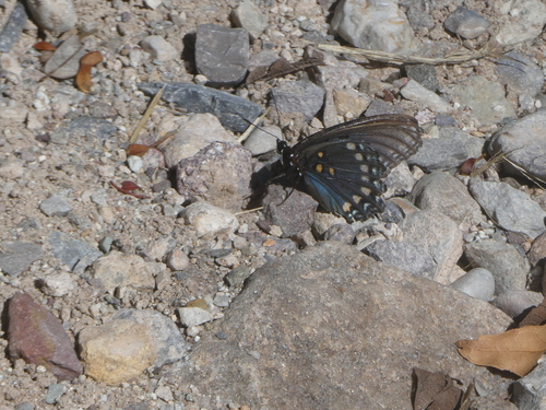

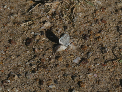
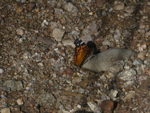
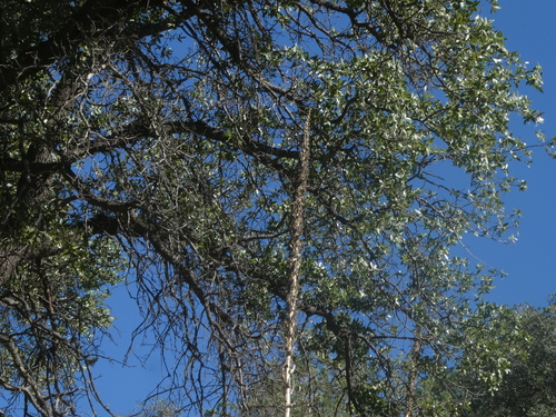
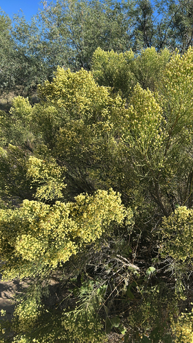
Research-grade observations from iNaturalist (within ~15 mi).
Nearest stream gauge
Live readings from USGS NWIS · measured 2026-10-16 16:30 UTC.
Events
Gallery
Sources
- • Wikipedia
- • US Census Bureau (ACS 5-year estimates)
- • NOAA National Weather Service
- • Wikidata
- • USGS Earthquake Catalog (global feed)
- • USGS NWIS (water data)
- • NCES via Urban Institute Education Data Portal
- • GBIF (Global Biodiversity Information Facility)
- • iNaturalist
- • CDC PLACES
- • Open-Meteo / sunrise-sunset.org
- • Wikipedia Pageviews API
- • Open Library
- • NASA EONET