Browse / United States / Arizona / Superior
Superior
Arizonatown

Superior
Total population
2,535
Median home value
$140,400
Bachelor's+
Median income
$45,030
Demographic figures from US Census Bureau · ACS 5-year estimates. Overview below cites Wikipedia and may reference a different year.
City facts
Facts from Wikidata (CC0).
Overview
Superior is a town in northern Pinal County, Arizona, United States, and is the oldest town in the county. According to the 2020 census, the population of the town was 2,407. Superior was founded as a mining town for the Silver King and the later Magma mines; silver was mined at first, and then transitioned to copper. Currently, exploitation of the huge Resolution Copper deposit is being explored near the town.
Read more on WikipediaHistory & geography
History
Like nearby Globe, Ray, and Clifton, Arizona, Superior was once part of a huge Apache reservation, but after silver and copper deposits were discovered, those areas were withdrawn from the reservation and returned to the public domain. In 1872, at the height of the American Indian Wars, a band of raiding Apache horsemen were ambushed by a United States Cavalry force from Picket Post Mountain. After losing 50 men, the Apache retreated up the mountain later named "Apache Leap". According to local legend, in the face of defeat, the remaining Apache leapt to their death rather than being captured by the cavalry, thus giving the mountain its name. Superior was originally called Queen, then Hastings, and under the latter name was platted in 1900. Queen had a population of around 100 circa 1880. There was a general store, 2 hotels, numerous saloons, and a post office. The Queen post office closed September 15, 1881. The Superior townsite was laid out in 1902, and named after the Lake Superior and Arizona Copper Company (LS&A). The Superior post office opened on December 29, 1902.
Geography
Superior is located approximately east of Phoenix and the same distance north of Tucson. According to the United States Census Bureau, the town has a total area of , all land.
Excerpted from the corresponding Wikipedia article (CC BY-SA).
Demographics & economy
Race & ethnicity
Source: US Census Bureau — American Community Survey, 5-year estimates.
Geography
Coordinates & boundaries from the US Census TIGER/Line shapefiles.
Climate
Current forecast
Forecast for Superior, AZ from NOAA NWS API.
Air quality
Industrial & pollution facilities
Natural hazard risk
Health (adults)
Age-adjusted prevalence estimates from CDC PLACES (latest release).
Walkability
Amenities nearby
Wildlife & biodiversity
Most-observed species
- Northern CardinalCardinalis cardinalis (Linnaeus, 1758) · Aves3,632
- VerdinAuriparus flaviceps (Sundevall, 1850) · Aves3,020
- Gila WoodpeckerMelanerpes uropygialis (S.F.Baird, 1854) · Aves2,817
- Anna's HummingbirdCalypte anna (R.Lesson, 1829) · Aves2,628
- House FinchHaemorhous mexicanus (P.L.Statius Müller, 1776) · Aves2,623
- PhainopeplaPhainopepla nitens (Swainson, 1838) · Aves2,575
- Common RavenCorvus corax Linnaeus, 1758 · Aves2,366
- Abert's TowheeMelozone aberti (S.F.Baird, 1852) · Aves2,266
Citizen-science & research observations from the Global Biodiversity Information Facility (GBIF).
Schools
Largest nearby schools
- John F Kennedy SchoolElementary · Superior · 179 students · 25.6:1 ratio
- Superior Junior/Senior High SchoolHigh · SUPERIOR · 156 students · 13:1 ratio
- CVIT - Superior High SchoolHigh · SUPERIOR
Public K–12 schools within ~10 mi from Urban Institute Education Data Portal (NCES Common Core of Data, 2022).
Earthquake history
Most recent
- M 2.6 — 2022-02-251 km S of Roosevelt, Arizona
- M 2.5 — 2022-02-156 km S of Roosevelt, Arizona
- M 2.5 — 2022-02-122 km ESE of Roosevelt, Arizona
- M 3.2 — 2016-12-1011 km ENE of Rio Verde, Arizona
- M 3.2 — 2014-09-206 km WNW of Rock House, Arizona
- M 2.9 — 2014-09-096 km SE of Roosevelt, Arizona
Events from the USGS Earthquake Catalog (global) (FDSN Event Web Service).
Photos
Sights & places nearby
Notable people from here
Nearby places in Arizona
Geography & sun
Elevation, sunrise/sunset and daylight from Open-Meteo. Solar climatology from NASA POWER.
Nearby airports
Public attention
Pageview totals from the Wikimedia Pageviews API.
Books about Superior
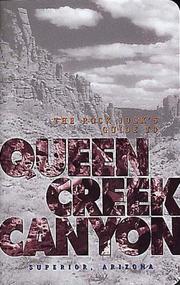

Search results from Open Library.
Recent natural events nearby
- Wildfire Butte, Gila, ArizonaWildfires · 2026-08-03 · 58 mi
- Prescribed Fire D2 Dye RX, Coconino, ArizonaWildfires · 2026-09-17 · 81 mi
- Prescribed Fire D2 Vincent RX, Coconino, ArizonaWildfires · 2026-09-17 · 82 mi
- Prescribed Fire D7 Morgan Unit 5 RX, Navajo, ArizonaWildfires · 2026-09-14 · 87 mi
- Wildfire Paddy Creek, Apache, ArizonaWildfires · 2026-08-25 · 88 mi
- Prescribed Fire D7 Brushy Mtn South RX, Apache, ArizonaWildfires · 2026-09-14 · 96 mi
- Prescribed Fire D7 Rhoton Seep RX, Apache, ArizonaWildfires · 2026-09-14 · 97 mi
- Prescribed Fire D7 Apprentice RX, Apache, ArizonaWildfires · 2026-09-14 · 98 mi
Wildfires, storms and other events from NASA EONET (last 12 months, within 250 mi).
Ground air-quality sensors
Recently spotted species
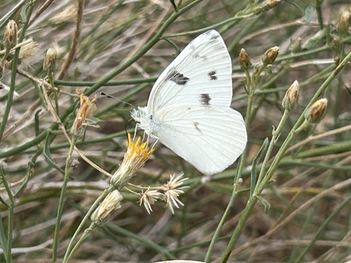
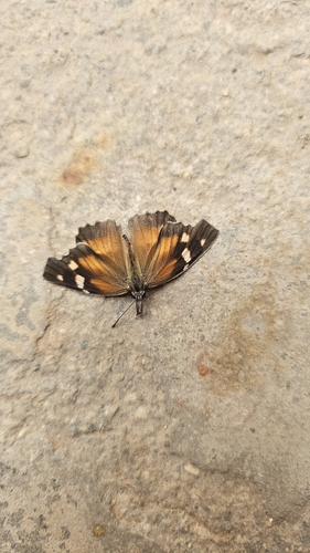
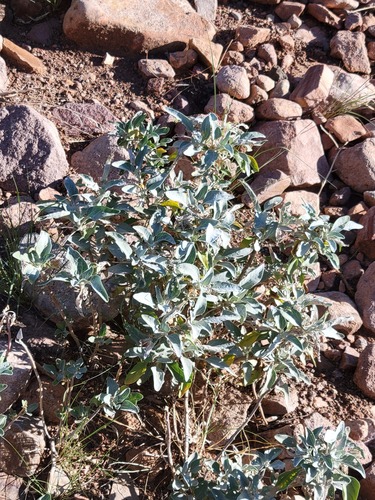
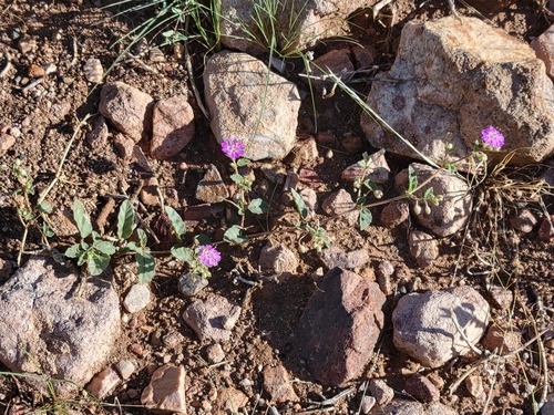
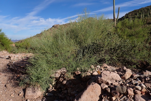
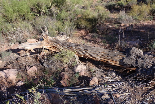
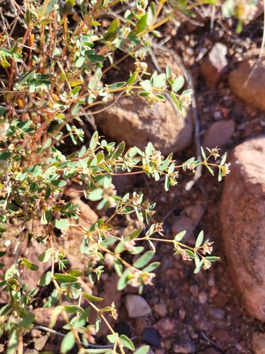
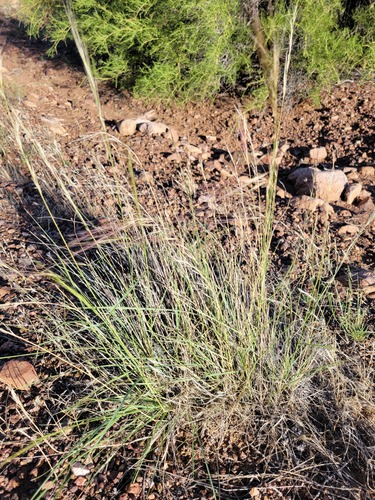
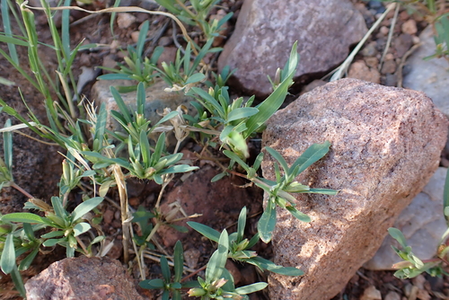
Research-grade observations from iNaturalist (within ~15 mi).
Nearest stream gauge
Events
Gallery
Sources
- • Wikipedia
- • US Census Bureau (ACS 5-year estimates)
- • NOAA National Weather Service
- • Wikidata
- • USGS Earthquake Catalog (global feed)
- • NCES via Urban Institute Education Data Portal
- • GBIF (Global Biodiversity Information Facility)
- • iNaturalist
- • CDC PLACES
- • Open-Meteo / sunrise-sunset.org
- • Wikipedia Pageviews API
- • Open Library
- • NASA EONET