Browse / United States / Arizona / Tombstone
Tombstone
Arizonacity

Tombstone
Total population
1,026
Median home value
$182,600
Bachelor's+
Median income
$34,901
Founded
1879
Demographic figures from US Census Bureau · ACS 5-year estimates. Overview below cites Wikipedia and may reference a different year.
City facts
Facts from Wikidata (CC0).
Overview
Tombstone is a city in Cochise County, Arizona, United States. It was founded in 1879 by Ed Schieffelin, a prospector in what was then Pima County, Arizona Territory. It was one of the many boomtowns founded in the southwestern United States in that era. The most productive silver mining district in Arizona, it produced some $40 to $85 million in silver bullion.
Read more on WikipediaHistory & geography
History
Tombstone was founded on land historically inhabited by the Hohokam people, who lived in southern Arizona for over 2,000 years. The town was established in 1879 on a mesa above the Goodenough Mine. By 1880, the town had many saloons, gambling halls, dance halls, and brothels. It also boasted four churches, three newspapers, two banks, an ice house, and an ice cream parlor. In those days, the more respectable denizens of Tombstone attended theatrical productions presented by visiting troupes at the Schieffelin Hall, while the miners and cowboys preferred shows at the Bird Cage Theatre. Underlying political tensions rapidly escalated as the population increased. The townspeople and the owners of the mines were largely from the Northern states, while the ranchers were mostly Confederate sympathizers. Only from the Mexico–United States border, the city was a market for cattle stolen from ranches in Sonora, Mexico, by a loosely organized band of outlaws known as the Cochise County Cowboys. The Earp brothers (Wyatt, Virgil and Morgan) and Doc Holliday had ongoing conflicts with Cowboys Ike and Billy Clanton, Frank and Tom McLaury, and Billy Claiborne. The Cowboys repeatedly threatened the Earps, until the conflict escalated into a gunfight on October 26, 1881. Although the gunfight is often portrayed as occurring at the O.K. Corral, it actually occurred a short distance away, in an empty lot on Fremont Street. Beginning in 1880, the silver mines penetrated the water table, requiring the installation of pumps to dewater the mines. In 1886, a fire destroyed the pumping station, and it was deemed unprofitable to rebuild the costly pumps. The city nearly became a ghost town, saved only by the fact that it was the seat of Cochise County at that time. The city's population…
Excerpted from the corresponding Wikipedia article (CC BY-SA).
Demographics & economy
Race & ethnicity
Source: US Census Bureau — American Community Survey, 5-year estimates.
Geography
Coordinates & boundaries from the US Census TIGER/Line shapefiles.
Climate
Current forecast
Forecast for Tombstone, AZ from NOAA NWS API.
Air quality
Industrial & pollution facilities
Natural hazard risk
Health (adults)
Age-adjusted prevalence estimates from CDC PLACES (latest release).
Walkability
Amenities nearby
Wildlife & biodiversity
Schools
Largest nearby schools
- Tombstone High SchoolHigh · Tombstone · 451 students · 16.7:1 ratio
- Walter J Meyer SchoolElementary · Tombstone · 155 students · 17.2:1 ratio
- CTD - Tombstone High SchoolHigh · Tombstone
Public K–12 schools within ~10 mi from Urban Institute Education Data Portal (NCES Common Core of Data, 2022).
Earthquake history
Photos
Sights & places nearby
Notable people from here


People born within ~10 km, from Wikidata (CC0). Click any name for their Wikipedia article.
Nearby places in Arizona
- Whetstone12.7 mi away
- Benson19.9 mi away · pop. 5,417
- Sierra Vista Southeast20.3 mi away
- Elfrida23.1 mi away
- Miracle Valley23.7 mi away · pop. 716
- Bisbee23.9 mi away · pop. 4,977
- J-Six Ranchettes28.5 mi away
- Douglas38.6 mi away · pop. 15,981
- Willcox39.3 mi away · pop. 3,222
- Patagonia41.2 mi away
- Corona de Tucson44.3 mi away
- Rincon Valley44.9 mi away · pop. 6,512
Geography & sun
Elevation, sunrise/sunset and daylight from Open-Meteo. Solar climatology from NASA POWER.
Nearby airports
Public attention
Pageview totals from the Wikimedia Pageviews API.
Books about Tombstone

Search results from Open Library.
Recent natural events nearby
- Wildfire Butte, Gila, ArizonaWildfires · 2026-08-03 · 124 mi
- Wildfire Paddy Creek, Apache, ArizonaWildfires · 2026-08-25 · 134 mi
- Prescribed Fire D6 Wallow West Unit 6 RX, Apache, ArizonaWildfires · 2026-09-13 · 148 mi
- Prescribed Fire D7 Brushy Mtn South RX, Apache, ArizonaWildfires · 2026-09-14 · 167 mi
- Prescribed Fire D7 Rhoton Seep RX, Apache, ArizonaWildfires · 2026-09-14 · 169 mi
- Prescribed Fire D7 Apprentice RX, Apache, ArizonaWildfires · 2026-09-14 · 171 mi
- Prescribed Fire D7 Butler West RX, Apache, ArizonaWildfires · 2026-09-14 · 172 mi
- Prescribed Fire D7 Morgan Unit 5 RX, Navajo, ArizonaWildfires · 2026-09-14 · 173 mi
Wildfires, storms and other events from NASA EONET (last 12 months, within 250 mi).
Ground air-quality sensors
Recently spotted species
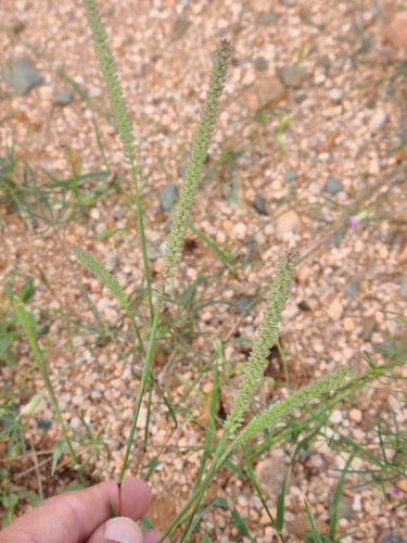
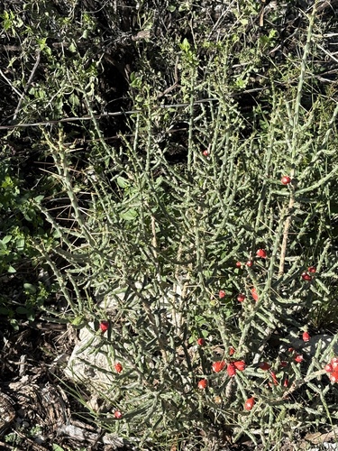
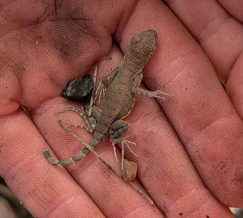
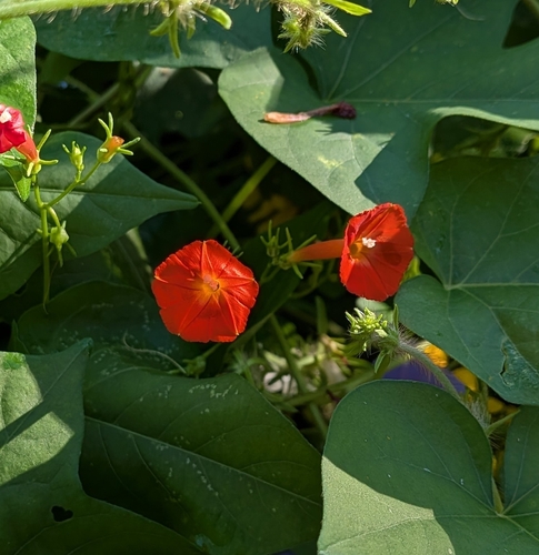
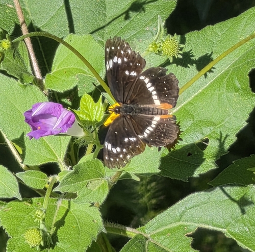
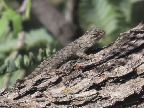
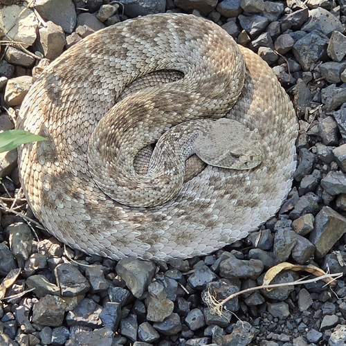
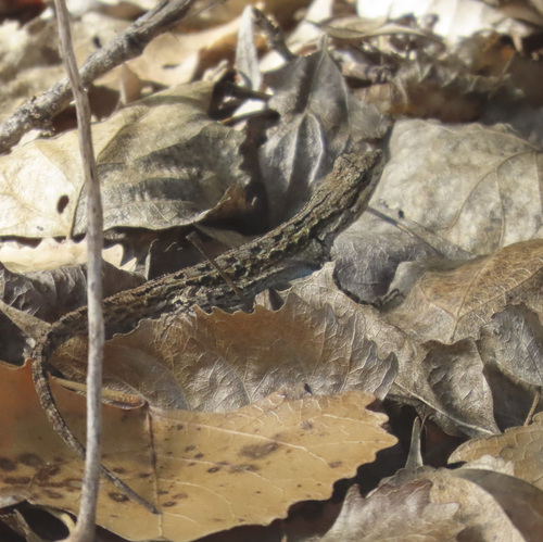
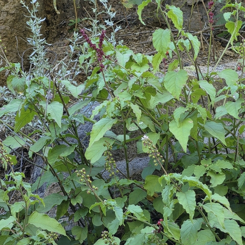
Research-grade observations from iNaturalist (within ~15 mi).
Nearest stream gauge
Live readings from USGS NWIS · measured 2026-09-25 15:30 UTC.
Events
Gallery
Sources
- • Wikipedia
- • US Census Bureau (ACS 5-year estimates)
- • NOAA National Weather Service
- • Wikidata
- • USGS NWIS (water data)
- • NCES via Urban Institute Education Data Portal
- • iNaturalist
- • CDC PLACES
- • Open-Meteo / sunrise-sunset.org
- • Wikipedia Pageviews API
- • Open Library
- • NASA EONET