Browse / United States / Arizona / Tuba City
Tuba City
ArizonaCDP

Tuba City
Total population
7,960
Median home value
$65,800
Bachelor's+
Median income
$61,338
Demographic figures from US Census Bureau · ACS 5-year estimates. Overview below cites Wikipedia and may reference a different year.
- Flood Watch · SevereFlood Watch issued September 26 at 12:01PM MST until September 29 at 11:00PM MST by NWS Flagstaff AZ
Source: NOAA National Weather Service.
City facts
Overview
Tuba City is an unincorporated town and census-designated place in Coconino County, Arizona, on the Navajo Nation, United States. It is the second-largest community in Coconino County. The population of the census-designated place (CDP) was 8,611 at the 2010 census.
Read more on WikipediaHistory & geography
History
The Tuba City area was the territory of indigenous peoples for thousands of years. The community was first documented by Spanish explorers: Father Francisco Garcés visited the area in 1776, and recorded that the Hopi were cultivating crops. European-American migrants came as part of the Mormon movement to the West in the late 19th century. They named the town after Tuuvi, a Hopi man who converted to Mormonism circa 1870. He had invited the Mormons to settle near his village of Moenkopi without requiring them to gain individual permission. The Tuba City Trading Post was established in 1870. It dealt with the Navajo and Paiute who came to the area for the natural springs, as well as the Hopi already in the area. European-American Mormon emigrants claimed to found Tuba City in 1872. In 1956, uranium mining began near Tuba City and the Rare Metals Corporation established a regional office and uranium processing mill. The Atomic Energy Commission had an office here as well. The mill closed in 1966, before environmental regulations were passed to protect the local people and resources. Reclamation of the mill site and tailings pile was completed in 1990 in response to the high radioactivity and environmentally hazardous waste products left behind. The Tuba City Regional Health Care Corporation hospital is located in Tuba City. It is a non-profit, Native American-run health care corporation that employs 1,200 people. The next nearest hospital is in Flagstaff. In 2023, the Tuba City Entrepreneurship Hub opened, sponsored by Change Labs, which is a Native-led nonprofit supporting entrepreneurship on tribal land through free work spaces for entrepreneurs, vendors, and artists within Native communities. It features community gardens raised by local farmers in the Change Labs…
Geography
According to the United States Census Bureau, the CDP has a total area of , all land. Geologically, Tuba City is sited about the Glen Canyon Group from the early Jurassic (about 180–210 Ma) and on modern superficial Quaternary deposits. It is located within the Painted Desert near the western edge of the Navajo Nation. The town is served by U.S. Route 160, near the junction with Arizona State Route 264. Tuba City is located approximately from the eastern entrance to Grand Canyon National Park and approximately from Flagstaff. Arizona does not observe Daylight Saving Time, but the Navajo Nation does within its boundaries. In practice elements of Tuba City vary in practices: tribal offices and schools observe DST, while most private businesses conform to state practice and do not. Tuba City is located in the rain shadow of the Mogollon Rim, which keeps out moisture from the Gulf of California. It has a cold desert climate (Köppen BWk) with hot, dry summersthough less hot than Phoenixand cold, dry winters. Frosts are normal from October to April. The majority of winters do not have measurable snowfall due to the dryness of the air descending from mountains to the south.
Excerpted from the corresponding Wikipedia article (CC BY-SA).
Demographics & economy
Race & ethnicity
Source: US Census Bureau — American Community Survey, 5-year estimates.
Geography
Coordinates & boundaries from the US Census TIGER/Line shapefiles.
Climate
Current forecast
Forecast for Tuba City, AZ from NOAA NWS API.
Air quality
Industrial & pollution facilities
Natural hazard risk
Health (adults)
Age-adjusted prevalence estimates from CDC PLACES (latest release).
Walkability
Amenities nearby
Wildlife & biodiversity
Most-observed species
- Common RavenCorvus corax Linnaeus, 1758 · Aves233
- American CootFulica americana Gmelin, 1789 · Aves149
- Ruddy DuckOxyura jamaicensis (J.F.Gmelin, 1789) · Aves128
- House FinchHaemorhous mexicanus (P.L.Statius Müller, 1776) · Aves117
- White-crowned SparrowZonotrichia leucophrys (J.R.Forster, 1772) · Aves109
- MallardAnas platyrhynchos Linnaeus, 1758 · Aves109
- Pied-billed GrebePodilymbus podiceps (Linnaeus, 1758) · Aves105
- Yellow-rumped WarblerSetophaga coronata (Linnaeus, 1766) · Aves102
Citizen-science & research observations from the Global Biodiversity Information Facility (GBIF).
Schools
Earthquake history
Most recent
- M 2.69 — 2026-10-0313 km SSE of Navajo Mountain, Utah
- M 3.7 — 2026-01-0920 km SSW of Chilchinbito, Arizona
- M 3.4 — 2025-03-016 km SE of Moenkopi, Arizona
- M 2.6 — 2024-10-1520 km NE of Parks, Arizona
- M 3.1 — 2023-05-1031 km SW of Cameron, Arizona
- M 3.4 — 2023-05-1033 km SW of Cameron, Arizona
Events from the USGS Earthquake Catalog (global) (FDSN Event Web Service).
Photos
Sights & places nearby
Notable people from here


People born within ~10 km, from Wikidata (CC0). Click any name for their Wikipedia article.
Nearby places in Arizona
- Moenkopi1.7 mi away · pop. 879
- Cameron21.4 mi away · pop. 782
- Hotevilla-Bacavi36.7 mi away
- Kykotsmovi Village39.5 mi away
- Bitter Springs40.3 mi away · pop. 504
- Shongopovi45.4 mi away
- Grand Canyon Village51.1 mi away · pop. 1,599
- Pinon57.4 mi away · pop. 1,159
- Page58.3 mi away · pop. 7,345
- Valle59.5 mi away · pop. 436
- Keams Canyon62 mi away
- Greenehaven62.6 mi away · pop. 325
Geography & sun
Elevation, sunrise/sunset and daylight from Open-Meteo. Solar climatology from NASA POWER.
Nearby airports
Public attention
Pageview totals from the Wikimedia Pageviews API.
Books about Tuba City

Search results from Open Library.
Recent natural events nearby
- Prescribed Fire Walker Hill Piles RX, Coconino, ArizonaWildfires · 2026-09-28 · 67 mi
- Prescribed Fire D2 Vincent RX, Coconino, ArizonaWildfires · 2026-09-17 · 117 mi
- Prescribed Fire D2 Dye RX, Coconino, ArizonaWildfires · 2026-09-17 · 118 mi
- Prescribed Fire D7 Morgan Unit 5 RX, Navajo, ArizonaWildfires · 2026-09-14 · 146 mi
- Wildfire Campwood, Yavapai, ArizonaWildfires · 2026-08-23 · 147 mi
- Prescribed Fire D7 Apprentice RX, Apache, ArizonaWildfires · 2026-09-14 · 156 mi
- Prescribed Fire D7 Rhoton Seep RX, Apache, ArizonaWildfires · 2026-09-14 · 158 mi
- Prescribed Fire D7 Arab RX, Apache, ArizonaWildfires · 2026-09-14 · 158 mi
Wildfires, storms and other events from NASA EONET (last 12 months, within 250 mi).
Ground air-quality sensors
Recently spotted species
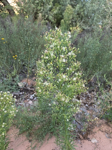
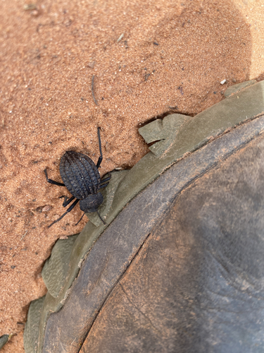
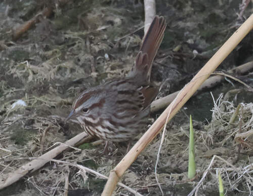
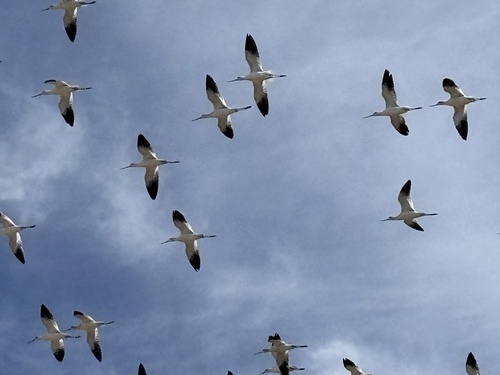
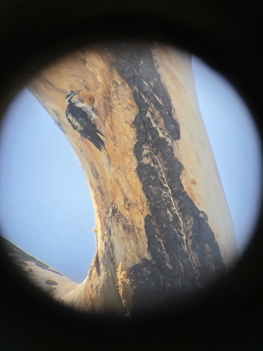
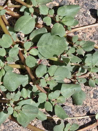
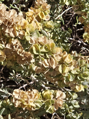
Research-grade observations from iNaturalist (within ~15 mi).
Nearest stream gauge
Events
Gallery
Sources
- • Wikipedia
- • US Census Bureau (ACS 5-year estimates)
- • NOAA National Weather Service
- • Wikidata
- • USGS Earthquake Catalog (global feed)
- • GBIF (Global Biodiversity Information Facility)
- • iNaturalist
- • CDC PLACES
- • Open-Meteo / sunrise-sunset.org
- • Wikipedia Pageviews API
- • Open Library
- • NASA EONET