Browse / United States / Arizona / Tubac
Tubac
ArizonaCDP

Tubac
Total population
1,294
Median home value
$490,800
Bachelor's+
Median income
$73,359
Demographic figures from US Census Bureau · ACS 5-year estimates. Overview below cites Wikipedia and may reference a different year.
City facts
Facts from Wikidata (CC0).
Overview
Tubac is a census-designated place (CDP) in Santa Cruz County, Arizona, United States. The population was 1,191 at the 2010 census. The place name "Tubac" is an English borrowing from a Hispanicized form of the O'odham name Cuwak, which translates into English as "place of dark water". When first taken into Spanish speech, it was spelled Tubaca. Finally, over time, the latter "a" was dropped. Tubac is situated on the Santa Cruz River.
Read more on WikipediaHistory & geography
History
Established in 1752 as a Spanish presidio, the first Spanish colonial garrison in what is now Arizona, Tubac was one of the stops on the Camino Real (the "Royal Road") from Mexico to the Spanish settlements in California. Tubac's most famous Spanish resident was Juan Bautista de Anza. While stationed at Tubac (1760–1776), de Anza built the chapel of Santa Gertrudis, the foundations of which lie beneath today's St. Ann's Church. Apaches attacked the town repeatedly in the 1840s, forcing the Sonoran Mexicans to abandon both Tumacacori and Tubac. Tubac was the scene of a four-day siege in 1861 among the population of Tubac, Confederate militia, and Apache warriors. The Confederates won and the Confederate flag used by the headquarters in Richmond was raised. When Union troops then started to approach Tucson, the Confederate troops left Tubac. There the town lay abandoned; grass grew in the streets and the adobe houses crumbled away. From the 1930s–1960s, Tubac evolved into an art colony. Painter Dale Nichols opened an art school in the small desert village in 1948 and restored some of Tubac's historic buildings. Students included watercolorist Al Romo and sculptor Bob Brisley. In 1955, artist Ross Stefan established a studio in the village. In 1961, the Santa Cruz Valley Art Association was formed with 80 members. This group founded the Tubac Festival of the Arts in 1964. Other significant artists in the Village included Sophie and Harwood Steiger, Hal Empie and Hugh Cabot.
Geography
Tubac is located at (31.625462, -111.051921). According to the United States Census Bureau, the CDP has a total area of , all land.
Excerpted from the corresponding Wikipedia article (CC BY-SA).
Demographics & economy
Race & ethnicity
Source: US Census Bureau — American Community Survey, 5-year estimates.
Geography
Coordinates & boundaries from the US Census TIGER/Line shapefiles.
Climate
Air quality
Industrial & pollution facilities
Natural hazard risk
Health (adults)
Age-adjusted prevalence estimates from CDC PLACES (latest release).
Walkability
Amenities nearby
Wildlife & biodiversity
Most-observed species
- Lesser GoldfinchSpinus psaltria (Say, 1822) · Aves58,611
- Mourning DoveZenaida macroura (Linnaeus, 1758) · Aves55,239
- White-winged DoveZenaida asiatica (Linnaeus, 1758) · Aves49,010
- House FinchHaemorhous mexicanus (P.L.Statius Müller, 1776) · Aves47,648
- White-breasted NuthatchSitta carolinensis Latham, 1790 · Aves47,272
- Broad-billed HummingbirdCynanthus latirostris Swainson, 1827 · Aves45,515
- Turkey VultureCathartes aura (Linnaeus, 1758) · Aves44,598
- Bridled TitmouseBaeolophus wollweberi (Bonaparte, 1850) · Aves43,128
Citizen-science & research observations from the Global Biodiversity Information Facility (GBIF).
Schools
Largest nearby schools
- Rio Rico High SchoolHigh · Rio Rico · 1,414 students · 25.7:1 ratio
- Coatimundi Middle SchoolMiddle · RIO RICO · 473 students · 18.9:1 ratio
- Mountain View SchoolElementary · RIO RICO · 387 students · 20.4:1 ratio
- Montessori De Santa Cruz - St. Ann's HallElementary · AMADO · 69 students
- PCJTED - Rio Rico High SchoolHigh · RIO RICO
- Santa Cruz Valley Digital Learning ProgramOther · RIO RICO
Public K–12 schools within ~10 mi from Urban Institute Education Data Portal (NCES Common Core of Data, 2022).
Earthquake history
Most recent
- M 3.1 — 2023-09-2821 km E of Tanque Verde, Arizona
Events from the USGS Earthquake Catalog (global) (FDSN Event Web Service).
Photos
Sights & places nearby
Notable people from here
Nearby places in Arizona
- Tumacacori-Carmen2.8 mi away
- Arivaca Junction8.9 mi away · pop. 642
- Nogales18.6 mi away · pop. 19,841
- Patagonia18.9 mi away
- Sahuarita22.9 mi away · pop. 35,862
- Corona de Tucson28.4 mi away
- Three Points33.8 mi away
- Valencia West36.4 mi away
- Tucson Estates39.5 mi away
- South Tucson40.7 mi away · pop. 4,550
- Rincon Valley40.7 mi away · pop. 6,512
- J-Six Ranchettes42.5 mi away
Geography & sun
Elevation, sunrise/sunset and daylight from Open-Meteo. Solar climatology from NASA POWER.
Nearby airports
Public attention
Pageview totals from the Wikimedia Pageviews API.
Books about Tubac


Search results from Open Library.
Recent natural events nearby
- Wildfire Butte, Gila, ArizonaWildfires · 2026-08-03 · 141 mi
- Wildfire Paddy Creek, Apache, ArizonaWildfires · 2026-08-25 · 161 mi
- Prescribed Fire D6 Wallow West Unit 6 RX, Apache, ArizonaWildfires · 2026-09-13 · 178 mi
- Prescribed Fire D7 Brushy Mtn South RX, Apache, ArizonaWildfires · 2026-09-14 · 188 mi
- Prescribed Fire D7 Morgan Unit 5 RX, Navajo, ArizonaWildfires · 2026-09-14 · 189 mi
- Prescribed Fire D7 Rhoton Seep RX, Apache, ArizonaWildfires · 2026-09-14 · 190 mi
- Prescribed Fire D7 Apprentice RX, Apache, ArizonaWildfires · 2026-09-14 · 192 mi
- Prescribed Fire D7 Butler West RX, Apache, ArizonaWildfires · 2026-09-14 · 194 mi
Wildfires, storms and other events from NASA EONET (last 12 months, within 250 mi).
Ground air-quality sensors
Recently spotted species
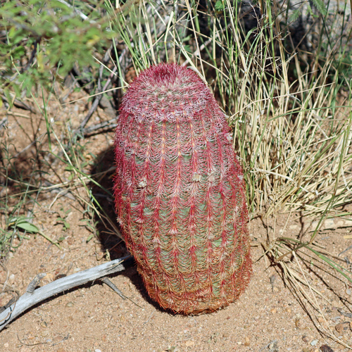
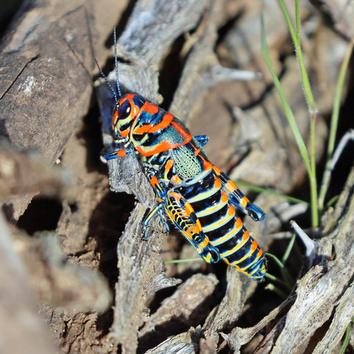
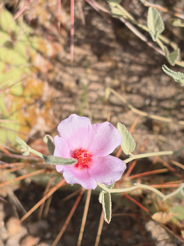
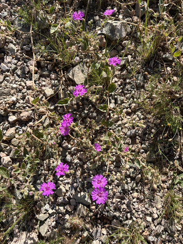
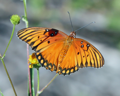
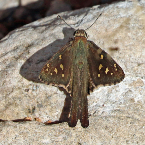
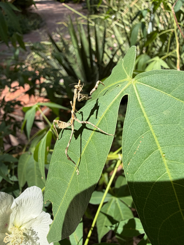
Research-grade observations from iNaturalist (within ~15 mi).
Nearest stream gauge
Live readings from USGS NWIS · measured 2026-09-25 14:45 UTC.
Events
Gallery
Sources
- • Wikipedia
- • US Census Bureau (ACS 5-year estimates)
- • Wikidata
- • USGS Earthquake Catalog (global feed)
- • USGS NWIS (water data)
- • NCES via Urban Institute Education Data Portal
- • GBIF (Global Biodiversity Information Facility)
- • iNaturalist
- • CDC PLACES
- • Open-Meteo / sunrise-sunset.org
- • Wikipedia Pageviews API
- • Open Library
- • NASA EONET