Browse / United States / Arizona / Tucson
Tucson
Arizonacity

Tucson
Total population
554,011
Median home value
$299,700
Bachelor's+
Median income
$60,483
Founded
1775
Air quality index
Demographic figures from US Census Bureau · ACS 5-year estimates. Overview below cites Wikipedia and may reference a different year.
- Red Flag Warning · SevereRed Flag Warning issued June 27 at 10:19AM MST until June 28 at 8:00PM MST by NWS Tucson AZ
Source: NOAA National Weather Service.
City facts
Sister cities
Facts from Wikidata (CC0).
Overview
Tucson is the county seat of and the most populated city in Pima County, Arizona, United States. It is the second-most populous city in Arizona with a population of 542,630 at the 2020 census, behind the capital city, Phoenix, while the Tucson metropolitan statistical area has an estimated 1.08 million residents and is the 52nd-largest metropolitan area in the United States. Tucson and Phoenix anchor the Arizona Sun Corridor. The city is 108 mi (174 km) southeast of Phoenix and 60 mi (97 km) north of the United States–Mexico border. It is home to the University of Arizona.
Read more on WikipediaHistory & geography
History
The Tucson area was probably first visited by Paleo-Indians, who were known to have been in southern Arizona about 12,000 years ago. Recent archaeological excavations near the Santa Cruz River found a village site dating from 2100 BC. The floodplain of the Santa Cruz River was extensively farmed during the Early Agricultural Period, to AD 150. These people hunted, gathered wild plants and nuts, and ate corn, beans, and other crops grown using irrigation canals they constructed. Italian Jesuit missionary Eusebio Francisco Kino first visited the Santa Cruz River valley in 1692. He founded the Mission San Xavier del Bac in 1700, about upstream from the site of the settlement of Tucson. A separate Convento settlement was founded downstream along the Santa Cruz River, near the base of what is now known as "A" mountain. Hugo Oconór (Hugo O'Conor), the founding father of the city of Tucson, Arizona, authorized the construction of a military fort in that location, Presidio San Agustín del Tucsón, on August 20, 1775 (the present downtown Pima County Courthouse was built near this site). During the Spanish period of the presidio, attacks such as the Second Battle of Tucson were repeatedly mounted by the Apache. Eventually, the town came to be called Tucsón, a Spanish version of the O'odham word for the area. It was included in the state of Sonora after Mexico gained independence from the Kingdom of Spain and its Spanish Empire in 1821. During the Mexican–American War in 1846–1848, Tucsón was captured by Philip St. George Cooke with the Mormon Battalion, but it soon returned to Mexican control as Cooke proceeded to the west, establishing Cooke's Wagon Road to California. Tucsón was not included in the Mexican Cession to the United States following the war. Cooke's…
Geography
According to the United States Census Bureau, as of 2010, the City of Tucson has a land area of . The city's elevation is above sea level (as measured at the Tucson International Airport). Tucson is on an alluvial plain in the Sonoran Desert, surrounded by five minor ranges of mountains: the Santa Catalina Mountains and the Tortolita Mountains to the north, the Santa Rita Mountains to the south, the Rincon Mountains to the east, and the Tucson Mountains to the west. Tucson Mountains include Wasson Peak. The highest point in the area is Mount Wrightson, found in the Santa Rita Mountains at above sea level. Tucson is southeast of Phoenix and north of the United States–Mexico border by interstate highway. The 2020 United States census puts the city's population at 542,629 with a metropolitan area population at 1,043,433. In 2020, Tucson ranked as the 33rd-largest city and 53rd-largest metropolitan area in the United States. A major city in the Arizona Sun Corridor, Tucson is the largest city in southern Arizona, and the second-largest in the state after Phoenix. It is also the largest city in the area of the historic Gadsden Purchase. As of 2015, the Greater Tucson Metro area has exceeded a population of 1 million. The city is built along the Santa Cruz River, formerly a perennial river. Now a dry riverbed for much of the year, it regularly floods during significant seasonal rains. Interstate 10 runs northwest through town, connecting Tucson to Phoenix to the northwest (on the way to its western terminus in Santa Monica, California), and to Las Cruces, New Mexico and El Paso, Texas to the southeast. (Its eastern terminus is in Jacksonville, Florida). I-19 runs south from Tucson to Nogales and the Mexico–United States border. I-19 is the only Interstate Highway in…
Excerpted from the corresponding Wikipedia article (CC BY-SA).
Demographics & economy
Race & ethnicity
Source: US Census Bureau — American Community Survey, 5-year estimates.
Geography
Coordinates & boundaries from the US Census TIGER/Line shapefiles.
Climate
Current forecast
Forecast for Tucson, AZ from NOAA NWS API.
Air quality
Current readings from Open-Meteo Air Quality API (Copernicus CAMS European reanalysis).
Industrial & pollution facilities
Natural hazard risk
Health (adults)
Age-adjusted prevalence estimates from CDC PLACES (latest release).
Walkability
Amenities nearby
Wildlife & biodiversity
Most-observed species
- Mourning DoveZenaida macroura (Linnaeus, 1758) · Aves92,168
- Gila WoodpeckerMelanerpes uropygialis (S.F.Baird, 1854) · Aves86,080
- House FinchHaemorhous mexicanus (P.L.Statius Müller, 1776) · Aves83,960
- VerdinAuriparus flaviceps (Sundevall, 1850) · Aves77,916
- Lesser GoldfinchSpinus psaltria (Say, 1822) · Aves62,485
- Vermilion FlycatcherPyrocephalus rubinus (Boddaert, 1783) · Aves59,549
- Anna's HummingbirdCalypte anna (R.Lesson, 1829) · Aves57,713
- Abert's TowheeMelozone aberti (S.F.Baird, 1852) · Aves55,137
Citizen-science & research observations from the Global Biodiversity Information Facility (GBIF).
Schools
Largest nearby schools
- Tucson Magnet High SchoolHigh · TUCSON · 3,162 students · 19.5:1 ratio
- Sunnyside High SchoolHigh · TUCSON · 2,204 students · 21.4:1 ratio
- Desert View High SchoolHigh · TUCSON · 2,169 students · 21.5:1 ratio
- Pueblo High SchoolHigh · TUCSON · 1,831 students · 17.8:1 ratio
- Cholla High SchoolHigh · TUCSON · 1,760 students · 19.1:1 ratio
- Sahuaro High SchoolHigh · TUCSON · 1,432 students · 21.4:1 ratio
- Rincon High SchoolHigh · TUCSON · 1,273 students · 19.3:1 ratio
- Mica Mountain HighHigh · Tucson · 1,161 students · 18.4:1 ratio
Public K–12 schools within ~10 mi from Urban Institute Education Data Portal (NCES Common Core of Data, 2022).
Earthquake history
Most recent
- M 2.6 — 2025-08-0914 km ENE of Willow Canyon, Arizona
- M 3.1 — 2023-09-2821 km E of Tanque Verde, Arizona
Events from the USGS Earthquake Catalog (global) (FDSN Event Web Service).
Photos
Sights & places nearby
Notable people from here


People born within ~10 km, from Wikidata (CC0). Click any name for their Wikipedia article.
Nearby places in Arizona
- South Tucson6.5 mi away · pop. 4,550
- Catalina Foothills10.3 mi away
- Tanque Verde10.9 mi away
- Rincon Valley11 mi away · pop. 6,512
- Flowing Wells12.7 mi away
- Valencia West14.1 mi away
- Corona de Tucson15.1 mi away
- Tucson Estates15.1 mi away
- Casas Adobes15.4 mi away
- Sahuarita16.2 mi away · pop. 35,862
- Willow Canyon19 mi away
- Summerhaven20.7 mi away
Geography & sun
Elevation, sunrise/sunset and daylight from Open-Meteo. Solar climatology from NASA POWER.
Nearby airports
Public attention
Pageview totals from the Wikimedia Pageviews API.
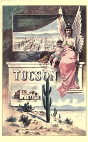
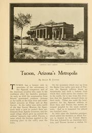
Books about Tucson


Search results from Open Library.
Recent natural events nearby
- Wildfire Butte, Gila, ArizonaWildfires · 2026-08-03 · 102 mi
- Prescribed Fire D3 Bear RX, Greenlee, ArizonaWildfires · 2026-10-02 · 124 mi
- Wildfire Paddy Creek, Apache, ArizonaWildfires · 2026-08-25 · 124 mi
- Prescribed Fire D6 Wallow West Unit 6 RX, Apache, ArizonaWildfires · 2026-09-13 · 141 mi
- Prescribed Fire D7 Morgan Unit 5 RX, Navajo, ArizonaWildfires · 2026-09-14 · 150 mi
- Prescribed Fire D7 Brushy Mtn South RX, Apache, ArizonaWildfires · 2026-09-14 · 150 mi
- Prescribed Fire D7 Rhoton Seep RX, Apache, ArizonaWildfires · 2026-09-14 · 151 mi
- Prescribed Fire D7 Apprentice RX, Apache, ArizonaWildfires · 2026-09-14 · 153 mi
Wildfires, storms and other events from NASA EONET (last 12 months, within 250 mi).
Ground air-quality sensors
Recently spotted species
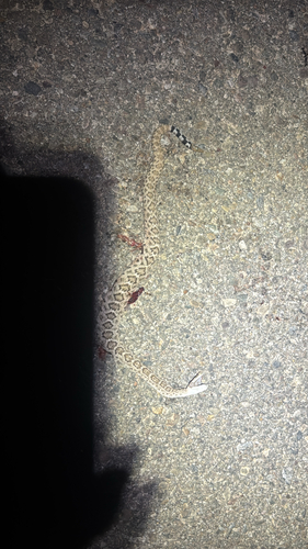
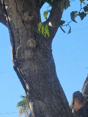
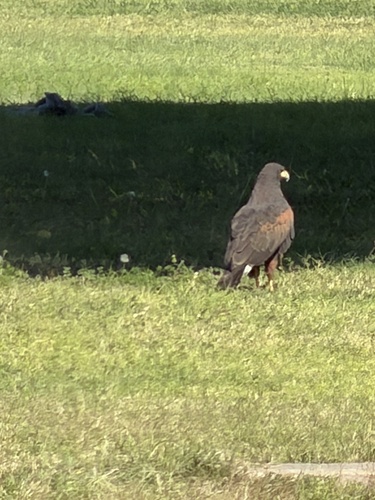
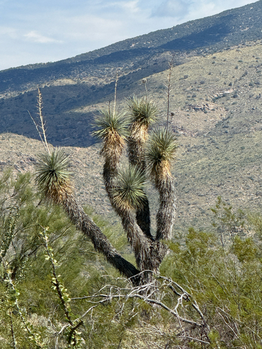
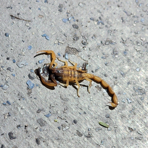
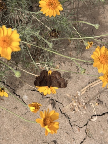
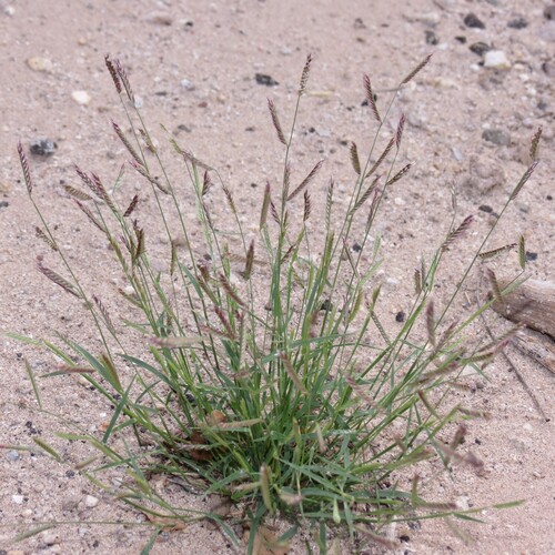
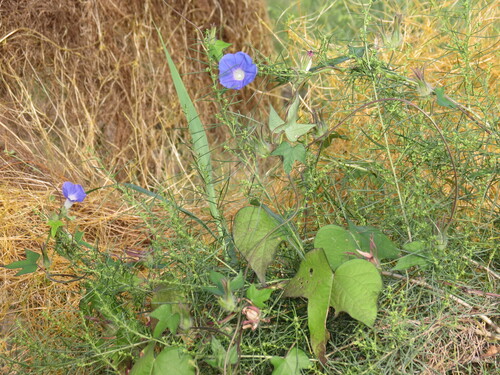
Research-grade observations from iNaturalist (within ~15 mi).
Nearest stream gauge
Live readings from USGS NWIS · measured 2026-06-27 15:00 UTC.
Events
Notable, recurring, and historical events associated with Tucson, sourced from Wikidata.
Source: Wikidata (CC0).
Gallery
Geotagged photos within ~6 miles of Tucson, from Wikimedia Commons contributors.
.jpg) 0.7 mi
0.7 mi.jpg) 0.8 mi
0.8 mi.jpg) 0.8 mi
0.8 mi_(2).jpg) 0.8 mi
0.8 mi_(2).jpg) 0.8 mi
0.8 mi_B-58_tail_1994_(5092283461)_(2).jpg) 0.8 mi
0.8 mi_(2).jpg) 0.8 mi
0.8 mi_(2).jpg) 0.8 mi
0.8 mi_(16302271662).jpg) 0.8 mi
0.8 mi.jpg) 0.8 mi
0.8 mi(N123KJ)_(15673783844).jpg) 0.8 mi
0.8 mi.jpg) 0.8 mi
0.8 mi_(15678640843).jpg) 0.8 mi
0.8 mi_(16125642040).jpg) 0.8 mi
0.8 mi_(16115595648).jpg) 0.8 mi
0.8 mi_and_unknown_Boeing_747_(15680732904).jpg) 0.8 mi
0.8 mi.jpg) 0.8 mi
0.8 mi.jpg) 0.8 mi
0.8 mi_Samaritan_%27N45962%27_(16125673418).jpg) 0.8 mi
0.8 mi.jpg) 0.8 mi
0.8 mi.jpg) 0.8 mi
0.8 mi_(15676323913).jpg) 0.8 mi
0.8 mi.jpg) 0.8 mi
0.8 mi.jpg) 0.8 mi
0.8 miPhotos via Wikimedia Commons — see each image page for license & attribution.
Sources
- • Wikipedia
- • US Census Bureau (ACS 5-year estimates)
- • NOAA National Weather Service
- • Wikimedia Commons
- • Wikidata
- • Open-Meteo Air Quality (CAMS)
- • USGS Earthquake Catalog (global feed)
- • USGS NWIS (water data)
- • NCES via Urban Institute Education Data Portal
- • GBIF (Global Biodiversity Information Facility)
- • iNaturalist
- • CDC PLACES
- • Open-Meteo / sunrise-sunset.org
- • Wikipedia Pageviews API
- • Open Library
- • NASA EONET