Browse / United States / Arizona / Yuma
Yuma
Arizonacity

Yuma
Total population
103,561
Median home value
$270,100
Bachelor's+
Median income
$71,828
Founded
1888
Demographic figures from US Census Bureau · ACS 5-year estimates. Overview below cites Wikipedia and may reference a different year.
- Wind Advisory · ModerateWind Advisory issued October 15 at 11:41PM MST until October 16 at 3:00PM MST by NWS Phoenix AZ
Source: NOAA National Weather Service.
City facts
Sister cities
Facts from Wikidata (CC0).
Overview
Yuma is a city in and the county seat of Yuma County, Arizona, United States. The city's population was 95,548 at the 2020 census, up from the 2010 census population of 93,064.
Read more on WikipediaHistory & geography
History
The area's first inhabitants were Native American cultures and historic tribes. Their descendants now occupy the Cocopah and Quechan reservations. In 1540, Spanish colonial expeditions under Hernando de Alarcón and Melchior Díaz visited the area and immediately recognized the natural crossing of the Colorado River as an ideal spot for a city. The Colorado River narrows to slightly under wide in one area. Military expeditions that crossed the Colorado River at the Yuma Crossing include Juan Bautista de Anza (1774), the Mormon Battalion (1848) and the California Column (1862). During and after the California Gold Rush to the late 1870s, the Yuma Crossing was known for its ferry crossings for the Southern Emigrant Trail. This was considered the gateway to California and the "Great Southwest", as it was one of the few natural spots where travelers could cross the otherwise very wide Colorado River. Following the United States establishing Fort Yuma, two towns developed one mile downriver. The one on the California side was called Jaeger City, named after the owner of Jaeger's Ferry, which crossed the river there. It was for a time the larger of the two, with the Butterfield Overland Mail office and station, two blacksmiths, a hotel, two stores, and other dwellings. The other was called Colorado City. Developed on the south side of the river in what is now Arizona by speculator Charles Poston, it was the site of the custom house. When started, it was just north of the border between Mexican-ruled Sonora, Mexico and California. After the Gadsden Purchase by the United States, the town bordered on the Territory of New Mexico. This area was designated as the Territory of Arizona in 1863. The Colorado City site at the time was duly registered in San Diego; both banks of…
Geography
Yuma is near the borders of California to the west and Mexico to the south, and just west of the Gila River's confluence with the Colorado. The city is approximately from the Gulf of California (Sea of Cortez), a branch of the Pacific. According to the United States Census Bureau, the city has a total area of , of which is land and (0.07%) is water. Yuma is noted for its weather extremes. Of any populated place in the contiguous United States, Yuma is the driest, the sunniest, and the least humid, has the lowest frequency of precipitation, and has the highest number of sunny days per year—175—with a daily maximum temperature of or higher. Yuma features a hot desert climate (Köppen climate classification BWh), with extremely hot summers and warm winters. Atmospheric humidity is usually very low, except during what are called "Gulf surges", when a maritime tropical air mass from the Gulf of California is drawn northward, usually in connection with the summer monsoon or the passage of a tropical storm to the south. The sun is said to shine during about 90% of the daylight hours, making Yuma one of the sunniest places in the world. The city receives the most recorded mean sunshine of anywhere on Earth, although the equipment used by the United States tends to provide higher sunshine estimates than the traditional Campbell–Stokes recorder. On average, Yuma receives of rain annually. Even in the wettest year of 2005, only fell. The driest year at Yuma Airport was 2007, with only recorded. On average, the wettest months of the year are during the monsoon months of August and September, and December, when moisture from winter storms arrives from the Pacific Ocean. June is the driest month, with drought virtually absolute. In 1995, Yuma recorded its all-time high…
Excerpted from the corresponding Wikipedia article (CC BY-SA).
Demographics & economy
Race & ethnicity
Source: US Census Bureau — American Community Survey, 5-year estimates.
Geography
Coordinates & boundaries from the US Census TIGER/Line shapefiles.
Climate
10-year averages from ERA5 reanalysis (Open-Meteo).
Current forecast
Forecast for Yuma, AZ from NOAA NWS API.
Air quality
Industrial & pollution facilities
Natural hazard risk
Health (adults)
Age-adjusted prevalence estimates from CDC PLACES (latest release).
Walkability
Amenities nearby
Wildlife & biodiversity
Most-observed species
- House FinchHaemorhous mexicanus (P.L.Statius Müller, 1776) · Aves774
- Mourning DoveZenaida macroura (Linnaeus, 1758) · Aves676
- Eurasian Collared-DoveStreptopelia decaocto (Frivaldszky, 1838) · Aves618
- Larrea tridentata (DC.) Coult.Larrea tridentata (DC.) Coult. · Magnoliopsida583
- Northern MockingbirdMimus polyglottos (Linnaeus, 1758) · Aves451
- Gila WoodpeckerMelanerpes uropygialis (S.F.Baird, 1854) · Aves411
- Anna's HummingbirdCalypte anna (R.Lesson, 1829) · Aves401
- House SparrowPasser domesticus (Linnaeus, 1758) · Aves379
Citizen-science & research observations from the Global Biodiversity Information Facility (GBIF).
Schools
Largest nearby schools
- Dorothy Hall ElementaryElementary · Yuma · 549 students · 18.9:1 ratio
- Orange Grove Elementary SchoolElementary · Somerton · 379 students · 18.9:1 ratio
Public K–12 schools within ~10 mi from Urban Institute Education Data Portal (NCES Common Core of Data, 2022).
Earthquake history
Most recent
- M 2.72 — 2026-10-1520 km W of Delta, B.C., MX
- M 2.97 — 2026-09-2012 km SW of Estacion Coahuila, B.C., MX
- M 2.65 — 2026-08-312 km NW of Delta, B.C., MX
- M 2.69 — 2026-08-208 km WSW of Alberto Oviedo Mota, B.C., MX
- M 2.9 — 2026-08-1021 km E of Golfo de Santa Clara, Mexico
- M 2.7 — 2026-07-017 km WNW of Delta, B.C., MX
Events from the USGS Earthquake Catalog (global) (FDSN Event Web Service).
Photos
Sights & places nearby
Notable people from here
Nearby places in Arizona
- Rancho Mesa Verde9.5 mi away
- Orange Grove Mobile Manor9.9 mi away · pop. 211
- Padre Ranchitos11.6 mi away
- San Luis11.9 mi away · pop. 35,257
- El Prado Estates13.1 mi away
- Buckshot15.6 mi away
- Donovan Estates16.1 mi away · pop. 507
- Yuma Proving Ground24.6 mi away · pop. 468
- Dateland60.7 mi away · pop. 206
- Ehrenberg75.9 mi away · pop. 697
- Quartzsite81.5 mi away
- Brenda86.7 mi away · pop. 780
Geography & sun
Elevation, sunrise/sunset and daylight from Open-Meteo. Solar climatology from NASA POWER.
Nearby airports
Public attention
Pageview totals from the Wikimedia Pageviews API.
Books about Yuma
Search results from Open Library.
Recent natural events nearby
- Cyclone RachelSevere Storms · 2026-10-11 · 108 mi
- Wildfire Campwood, Yavapai, ArizonaWildfires · 2026-08-23 · 167 mi
- Prescribed Fire McCRAKEN RX-WRD CY26, Coconino, ArizonaWildfires · 2026-10-01 · 221 mi
- Prescribed Fire Newman Piles RX, Coconino, ArizonaWildfires · 2026-10-14 · 239 mi
- Prescribed Fire D2 Vincent RX, Coconino, ArizonaWildfires · 2026-09-17 · 244 mi
- Prescribed Fire Walker Hill Piles RX, Coconino, ArizonaWildfires · 2026-09-28 · 245 mi
- Prescribed Fire D2 Dye RX, Coconino, ArizonaWildfires · 2026-09-17 · 247 mi
- Prescribed Fire KENDRICK RX-WRD CY26, Coconino, ArizonaWildfires · 2026-10-01 · 249 mi
Wildfires, storms and other events from NASA EONET (last 12 months, within 250 mi).
Ground air-quality sensors
Recently spotted species
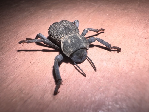
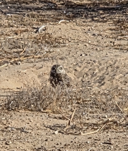
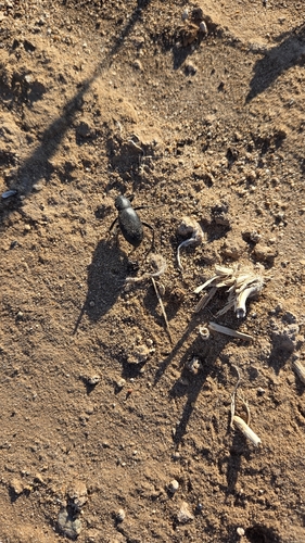
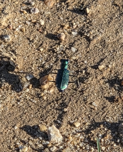
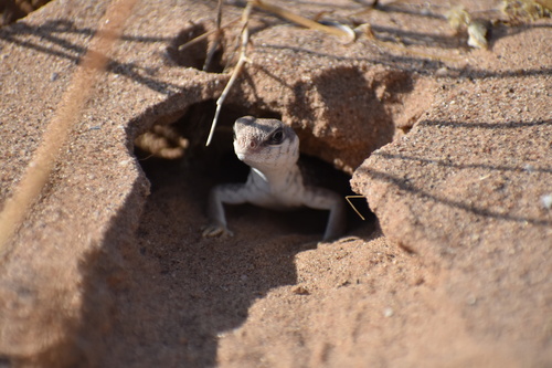
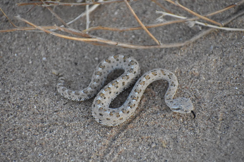
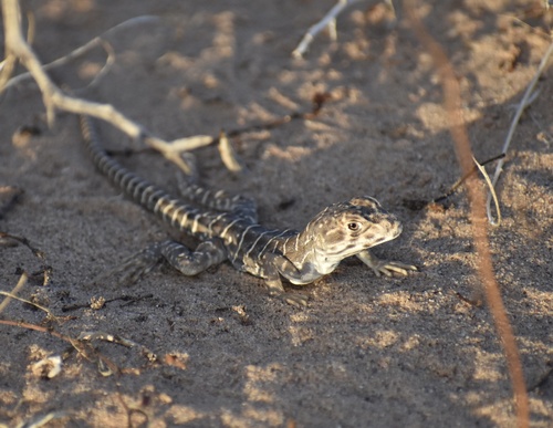
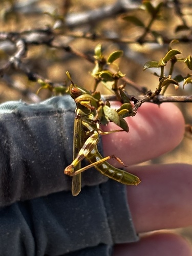
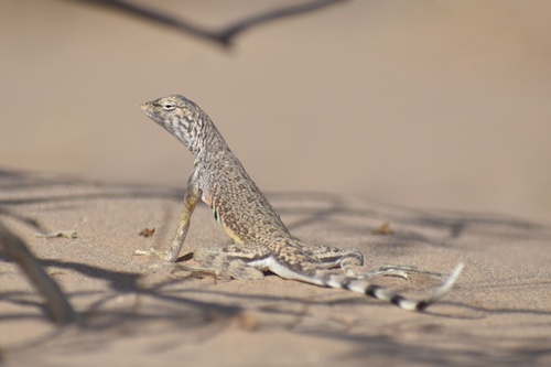
Research-grade observations from iNaturalist (within ~15 mi).
Nearest stream gauge
Live readings from USGS NWIS · measured 2026-09-18 01:15 UTC.
Events
Gallery
Geotagged photos within ~6 miles of Yuma, from Wikimedia Commons contributors.


Photos via Wikimedia Commons — see each image page for license & attribution.
Sources
- • Wikipedia
- • US Census Bureau (ACS 5-year estimates)
- • Open-Meteo (ERA5 reanalysis)
- • NOAA National Weather Service
- • Wikimedia Commons
- • Wikidata
- • USGS Earthquake Catalog (global feed)
- • USGS NWIS (water data)
- • NCES via Urban Institute Education Data Portal
- • GBIF (Global Biodiversity Information Facility)
- • iNaturalist
- • CDC PLACES
- • Open-Meteo / sunrise-sunset.org
- • Wikipedia Pageviews API
- • Open Library
- • NASA EONET