Browse / Azerbaijan / Azerbaijan / Zulfugarly
Zulfugarly
Azerbaijanvillage

Zulfugarly
Demographic figures from State Statistical Committee of Azerbaijan. Overview below cites Wikipedia and may reference a different year.
City facts
Facts from Wikidata (CC0).
Overview
Zülfüqarlı is a village in the Kalbajar District of Azerbaijan.
Read more on WikipediaHistory & geography
History
Zülfüqarlı (Zulfuqarli) is a village in the Kalbajar District of Azerbaijan's Karabakh (East Zangezur) region, situated along the Tutqun River (a right tributary of the Tartarchay). It is believed that the village is named after the legendary sword Zulfiqar used by Ali. The village was located in the Armenian-occupied territories surrounding Nagorno-Karabakh, coming under the control of ethnic Armenian forces during the First Nagorno-Karabakh War in the early 1990s. The village subsequently became part of the breakaway Republic of Artsakh as part of its Shahumyan Province, referred to as Zuar (). It was returned to Azerbaijan as part of the 2020 Nagorno-Karabakh ceasefire agreement.
Excerpted from the corresponding Wikipedia article (CC BY-SA).
Geography
Coordinates & boundaries from the US Census TIGER/Line shapefiles.
Climate
10-year averages from ERA5 reanalysis (Open-Meteo).
Air quality
Walkability
Amenities nearby
Wildlife & biodiversity
Earthquake history
Photos
Sights & places nearby
Notable people from here
People born within ~10 km, from Wikidata (CC0). Click any name for their Wikipedia article.
Nearby places in Azerbaijan
Geography & sun
Elevation, sunrise/sunset and daylight from Open-Meteo. Solar climatology from NASA POWER.
Nearby airports
Public attention
Pageview totals from the Wikimedia Pageviews API.
Books about Zulfugarly
Search results from Open Library.
Recent natural events nearby
Ground air-quality sensors
Recently spotted species
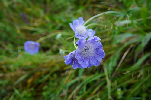
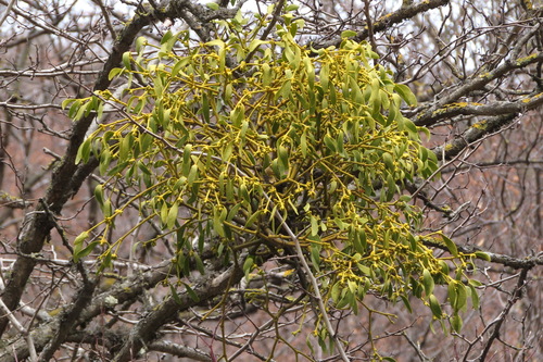
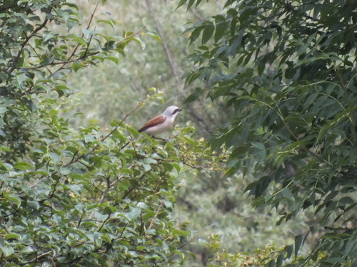
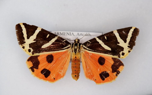
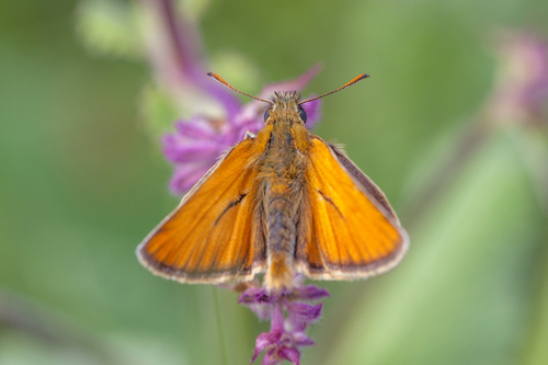
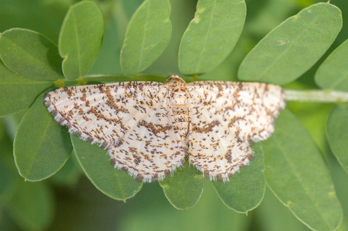
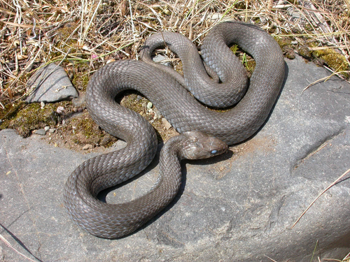
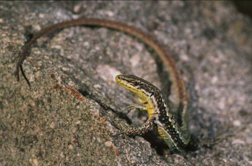
Research-grade observations from iNaturalist (within ~15 mi).
Events
Gallery
Sources
- • Wikipedia
- • Open-Meteo (ERA5 reanalysis)
- • Wikidata
- • iNaturalist
- • Open-Elevation
- • Open-Meteo / sunrise-sunset.org
- • Wikipedia Pageviews API
- • Open Library