Browse / Bosnia and Herzegovina / Bosnia and Herzegovina / Sarajevo
Sarajevo
Bosnia and Herzegovinacity

Sarajevo
Total population
271,194
Founded
1462
Air quality index
Demographic figures from BHAS. Overview below cites Wikipedia and may reference a different year.
City facts
Sister cities
Facts from Wikidata (CC0).
Overview
Sarajevo is the capital and largest city of Bosnia and Herzegovina, with a population of 275,524 in its administrative limits. The Sarajevo Canton, containing the city of Sarajevo and nearby municipalities, is home to 413,593 inhabitants. Located within the greater Sarajevo valley of Bosnia, it is surrounded by the Dinaric Alps and situated along the Miljacka River in the heart of the Balkans, a region of Southeastern Europe.
Read more on WikipediaHistory & geography
History
One of the earliest findings of settlement in the Sarajevo area is that of the Neolithic Butmir culture. The discoveries at Butmir were made on the grounds of the modern-day Sarajevo suburb Ilidža in 1893 by Austro-Hungarian authorities during the construction of an agricultural school. The area's richness in flint was attractive to Neolithic humans, and the settlement flourished. The settlement developed unique ceramics and pottery designs, which characterize the Butmir people as a unique culture, as described at the International Congress of Archaeologists and Anthropologists meeting in Sarajevo in 1894. The next prominent culture in Sarajevo was the Illyrians. The ancient people, who considered most of the Western Balkans as their homeland, had several key settlements in the region, mostly around the river Miljacka and the Sarajevo valley. The Illyrians in the Sarajevo region belonged to the Daesitiates, the last Illyrian people in Bosnia and Herzegovina to resist Roman occupation. Their defeat by the Roman emperor Tiberius in 9 AD marks the start of Roman rule in the region. The Romans never built up the region of modern-day Bosnia, but the Roman colony of Aquae Sulphurae was near the top of present-day Ilidža, and was the most important settlement of the time. After the Romans, the Goths settled the area, followed by the Slavs in the 7th century. During the Middle Ages, Sarajevo was part of the Bosnian province of Vrhbosna near the traditional center of the Kingdom of Bosnia. Though a city named Vrhbosna existed, the exact settlement in Sarajevo at this time is debated. Various documents note a place called Tornik in the region, most likely in the area of the Marijin Dvor neighborhood. By all indications, Tornik was a very small marketplace surrounded by a…
Geography
Sarajevo is near the geometric center of the triangular-shaped Bosnia and Herzegovina and within the historical region of Bosnia. It is situated above sea level and lies in the Sarajevo valley, in the middle of the Dinaric Alps. The valley was once an expansive, fertile, and green space, but considerable urban expansion and development took place following World War II. Forested hills and five major mountains surround the city. The highest of the surrounding peaks is Treskavica at , followed by Bjelašnica mountain at , Jahorina at , Trebević at , and Igman the shortest at . The last four are also known as the Olympic Mountains of Sarajevo. When the city hosted the 1984 Winter Olympics, venues were constructed at these mountains for many winter sports events. The city is developed within hilly terrain; some steeply inclined streets and residences perch on the hillsides. The Miljacka river is one of the city's chief geographic features. It flows through the city from east through the center of Sarajevo to the west part of the city, where it eventually meets up with the Bosna river. Miljacka River is also known as "The Sarajevo River". Its source (Vrelo Miljacke) is south of the town of Pale at the foothills of Mount Jahorina, several kilometers to the east of Sarajevo center. The Bosna's source, Vrelo Bosne near Ilidža (west Sarajevo), is another notable natural landmark and a popular destination for Sarajevans and other tourists. Several smaller rivers and streams, such as Koševski Potok, also run through the city and its vicinity.
Excerpted from the corresponding Wikipedia article (CC BY-SA).
Geography
Coordinates & boundaries from the US Census TIGER/Line shapefiles.
Climate
Air quality
Current readings from Open-Meteo Air Quality API (Copernicus CAMS European reanalysis).
Walkability
Amenities nearby
Wildlife & biodiversity
Most-observed species
- Carrion CrowCorvus corone Linnaeus, 1758 · Aves2,529
- Rock PigeonColumba livia J.F.Gmelin, 1789 · Aves1,611
- House SparrowPasser domesticus (Linnaeus, 1758) · Aves822
- MallardAnas platyrhynchos Linnaeus, 1758 · Aves818
- Eurasian MagpiePica pica (Linnaeus, 1758) · Aves482
- Hooded CrowCorvus cornix Linnaeus, 1758 · Aves387
- White WagtailMotacilla alba Linnaeus, 1758 · Aves286
- Eurasian Tree SparrowPasser montanus (Linnaeus, 1758) · Aves285
Citizen-science & research observations from the Global Biodiversity Information Facility (GBIF).
Earthquake history
Most recent
- M 3.7 — 2025-10-029 km SSW of Turbe, Bosnia and Herzegovina
- M 3.7 — 2025-06-0110 km ENE of Crnići, Bosnia and Herzegovina
- M 4.1 — 2024-09-228 km ESE of Maslovare, Bosnia and Herzegovina
- M 4.4 — 2024-04-0320 km SW of Plužine, Montenegro
- M 4.3 — 2024-02-1911 km NNE of Hotonj, Bosnia and Herzegovina
- M 2.8 — 2024-01-212 km SSE of Solina, Bosnia and Herzegovina
Events from the USGS Earthquake Catalog (global) (FDSN Event Web Service).
Photos
Sights & places nearby
Notable people from here


People born within ~10 km, from Wikidata (CC0). Click any name for their Wikipedia article.
Nearby places in Bosnia and Herzegovina
- Bazargan1370.6 mi away · pop. 9,000
- Qaraziadin1415.3 mi away · pop. 23,763
- Tazeh Shahr1418.3 mi away · pop. 8,629
- Salmas1421.5 mi away · pop. 97,060
- Sharafkhaneh1457.7 mi away · pop. 4,245
- Khamaneh1464.3 mi away · pop. 3,056
- Marand1464.8 mi away · pop. 130,000
- Shabestar1468.2 mi away · pop. 22,181
- Bonab-e-Jadid1471.5 mi away · pop. 4,430
- Oshnaviyeh1472.4 mi away · pop. 32,723
- Piranshahr1485.3 mi away · pop. 91,515
- Shinabad1486.6 mi away
Geography & sun
Elevation, sunrise/sunset and daylight from Open-Meteo. Solar climatology from NASA POWER.
Nearby airports
Public attention
Pageview totals from the Wikimedia Pageviews API.
Books about Sarajevo
Search results from Open Library.
Recent natural events nearby
Ground air-quality sensors
Recently spotted species
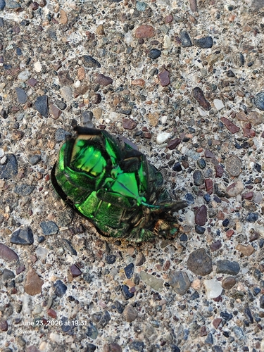
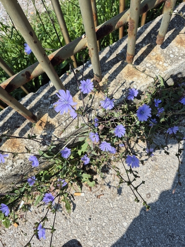
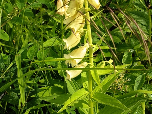
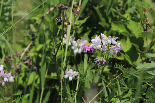
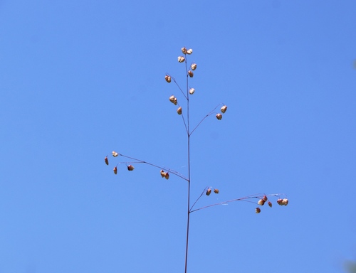
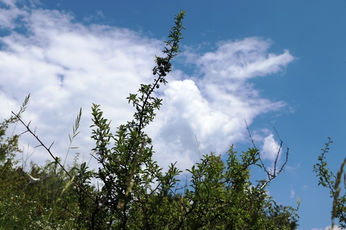
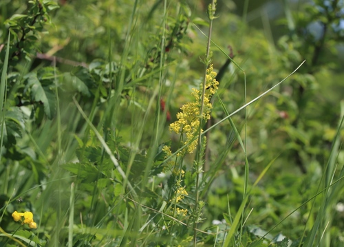
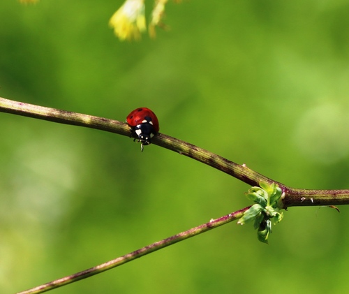
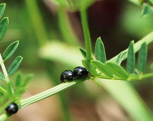
Research-grade observations from iNaturalist (within ~15 mi).
Events
Notable, recurring, and historical events associated with Sarajevo, sourced from Wikidata.
- Aug 6, 2006
- 1973 World Table Tennis Championships – women's singlesJan 1, 1973sporting event
- 1973 World Table Tennis Championships – men's doublesJan 1, 1973sporting event
- 1973 World Table Tennis Championships – Men's TeamJan 1, 1973sporting event
- 1973 World Table Tennis Championships – mixed doublesJan 1, 1973sporting event
- Jan 1, 1973
- Q110815786Aug 1, 1970sporting event
- Q105169037Sep 18, 1966sporting event
Source: Wikidata (CC0).
Gallery
Geotagged photos within ~6 miles of Sarajevo, from Wikimedia Commons contributors.


.JPG)
.jpg)


.jpg)


.jpg)

.jpg)

.jpg)


Photos via Wikimedia Commons — see each image page for license & attribution.
Sources
- • Wikipedia
- • Wikimedia Commons
- • Wikidata
- • Open-Meteo Air Quality (CAMS)
- • USGS Earthquake Catalog (global feed)
- • GBIF (Global Biodiversity Information Facility)
- • iNaturalist
- • Open-Meteo / sunrise-sunset.org
- • Wikipedia Pageviews API
- • Open Library