Browse / Barbados / Barbados / Bottom Bay
Bottom Bay
Barbadosvillage
Demographic figures from Barbados Statistical Service. Overview below cites Wikipedia and may reference a different year.
City facts
Overview
Bottom Bay, a village in Barbados, forms part of the country's settled landscape. The settlement sits at 13.140°, -59.427°, a tropical location in the northern hemisphere. No reliable population estimate is published for this entry in the open data we rely on. Its latitude implies a climate characterised by warm temperatures throughout the year with pronounced wet and dry seasons. Read on for charts and tables covering demographics, climate, hazards, schools, wildlife and other open-data indicators for Bottom Bay.
Summary composed automatically from structured open data on this page. See our Terms for details.
History & geography
Geography
Coordinates & boundaries from the US Census TIGER/Line shapefiles.
Climate
Air quality
Walkability
Amenities nearby
Wildlife & biodiversity
Earthquake history
Photos
Sights & places nearby
Notable people from here
Geography & sun
Nearby airports
Public attention
Books about this place
Recent natural events nearby
Ground air-quality sensors
Recently spotted species
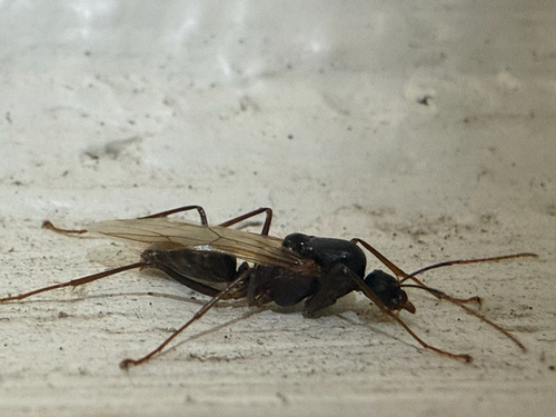
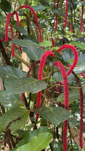
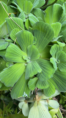
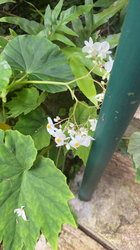
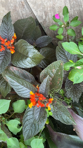
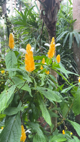
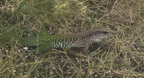
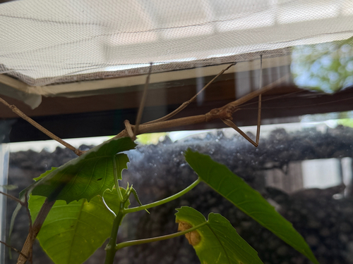
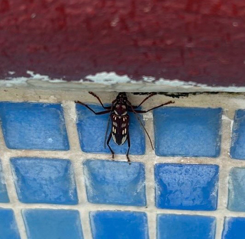
Research-grade observations from iNaturalist (within ~15 mi).
Events
Gallery
Sources
- • iNaturalist