Browse / Barbados / Barbados / Coffee Gully
Coffee Gully
Barbadoshamlet
Demographic figures from Barbados Statistical Service. Overview below cites Wikipedia and may reference a different year.
City facts
Overview
Within Barbados, Coffee Gully stands as a hamlet. No reliable population estimate is published for this entry in the open data we rely on. The settlement sits at 13.194°, -59.551°, a tropical location in the northern hemisphere. Climatically, locations at this latitude tend to experience warm temperatures throughout the year with pronounced wet and dry seasons. Further detail — demographics, climate, nearby amenities and natural-hazard data — is compiled below from public open-data sources.
Summary composed automatically from structured open data on this page. See our Terms for details.
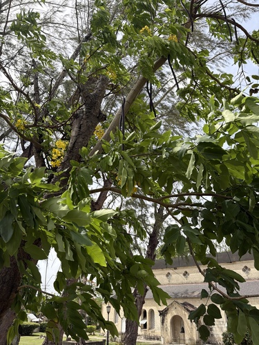
History & geography
Geography
Coordinates & boundaries from the US Census TIGER/Line shapefiles.
Climate
Air quality
Walkability
Amenities nearby
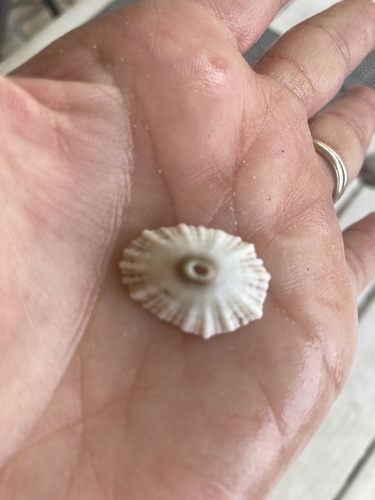
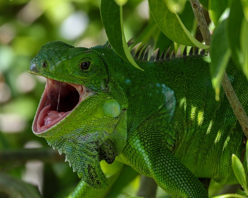
Wildlife & biodiversity
Most-observed species
- Zenaida DoveZenaida aurita (Temminck, 1809) · Aves3,378
- Carib GrackleQuiscalus lugubris Swainson, 1838 · Aves3,040
- Gray KingbirdTyrannus dominicensis (Gmelin, 1788) · Aves2,969
- Eurasian Collared-DoveStreptopelia decaocto (Frivaldszky, 1838) · Aves2,799
- Barbados BullfinchLoxigilla barbadensis Cory, 1886 · Aves2,623
- Common Ground-DoveColumbina passerina (Linnaeus, 1758) · Aves2,561
- Scaly-naped PigeonPatagioenas squamosa (Bonnaterre, 1792) · Aves2,458
- Cattle EgretBubulcus ibis (Linnaeus, 1758) · Aves2,324
Citizen-science & research observations from the Global Biodiversity Information Facility (GBIF).
Earthquake history
Most recent
- M 4.4 — 2025-10-104 km E of Oistins, Barbados
- M 4.3 — 2025-04-2776 km W of Speightstown, Barbados
- M 4.4 — 2023-12-0647 km ESE of Crane, Barbados
- M 5.1 — 2023-11-2847 km SSW of Oistins, Barbados
- M 4.4 — 2023-08-1588 km NNW of Speightstown, Barbados
- M 4.2 — 2023-05-1568 km WSW of Bridgetown, Barbados
Events from the USGS Earthquake Catalog (global) (FDSN Event Web Service).
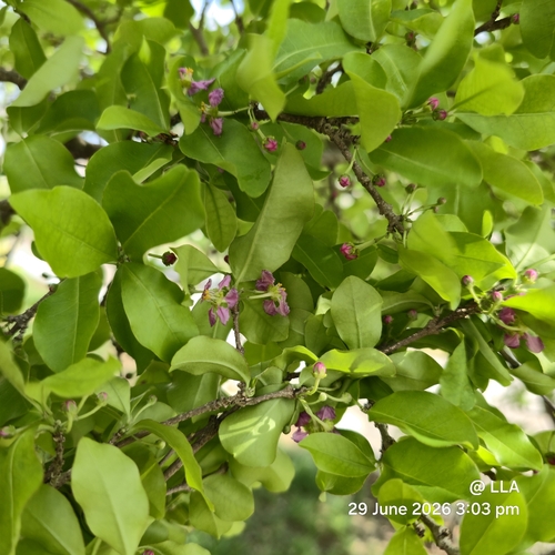
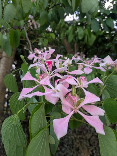
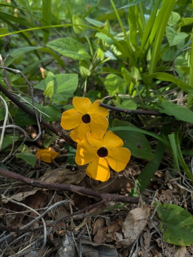
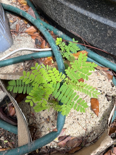
Photos
Sights & places nearby
Notable people from here
Nearby places in Barbados
- Bazargan6362.7 mi away · pop. 9,000
- Tazeh Shahr6405.5 mi away · pop. 8,629
- Khamaneh6453.2 mi away · pop. 3,056
- Bonab-e-Jadid6461.9 mi away · pop. 4,430
- Shinabad6463.6 mi away
- Tabriz6490.1 mi away · pop. 1,558,693
- Ha Mochekoane6490.5 mi away
- Ha Mpo6491.1 mi away
- Ha 'Mantšebo6492.2 mi away
- Ha Khoane6492.7 mi away
- Majoematso6492.9 mi away
- Motse-Mocha (Machekoaneng)6493.1 mi away
Geography & sun
Nearby airports
Public attention
Books about this place
Recent natural events nearby
Ground air-quality sensors
Recently spotted species
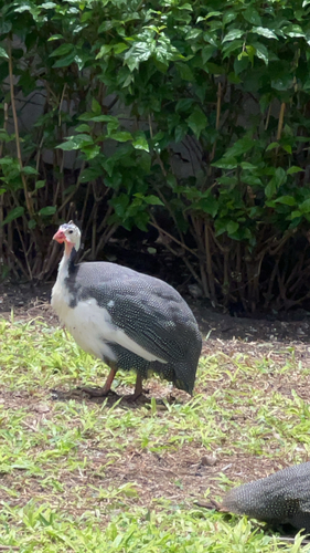
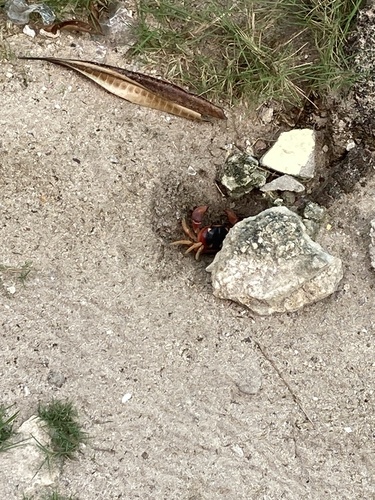
Research-grade observations from iNaturalist (within ~15 mi).
Events
Gallery
Geotagged photos within ~6 miles of Coffee Gully, from Wikimedia Commons contributors.
.jpg) 0.5 mi
0.5 mi 0.6 mi
 0.6 mi
 0.8 mi
 1.2 mi
.jpg) 1.2 mi
1.2 mi.jpg) 1.2 mi
1.2 mi.jpg) 1.2 mi
1.2 mi.jpg) 1.2 mi
1.2 mi.jpg) 1.2 mi
1.2 mi.jpg) 1.2 mi
1.2 mi.jpg) 1.3 mi
1.3 mi.jpg) 1.3 mi
1.3 mi.jpg) 1.3 mi
1.3 mi.jpg) 1.4 mi
1.4 mi 1.6 mi
 1.9 mi
.jpg) 1.9 mi
1.9 mi.jpg) 2 mi
2 mi.jpg) 2 mi
2 mi 2 mi
2 mi 2 mi
2 mi.jpg) 2.2 mi
2.2 mi.jpg) 2.2 mi
2.2 miPhotos via Wikimedia Commons — see each image page for license & attribution.
Sources
- • Wikimedia Commons
- • USGS Earthquake Catalog (global feed)
- • GBIF (Global Biodiversity Information Facility)
- • iNaturalist