Browse / Bangladesh / Chattogram / Degillar Bil
Degillar Bil
Chattogramvillage
Air quality index
Demographic figures from Bangladesh Bureau of Statistics. Overview below cites Wikipedia and may reference a different year.
City facts
Overview
Degillar Bil, a village in Chattogram, Bangladesh, forms part of the country's settled landscape. Its coordinates of 20.818°, 92.311° place it in the tropical zone of the northern hemisphere. No reliable population estimate is published for this entry in the open data we rely on. Climatically, locations at this latitude tend to experience warm temperatures throughout the year with pronounced wet and dry seasons. Long-term weather observations show average highs near 85.2°F and lows near 71.9°F with about 119.4 in of annual precipitation (a very wet total). Open-data panels below dive into population trends, climate normals, environmental indicators and nearby places.
Summary composed automatically from structured open data on this page. See our Terms for details.
History & geography
Geography
Coordinates & boundaries from the US Census TIGER/Line shapefiles.
Climate
10-year averages from ERA5 reanalysis (Open-Meteo).
Air quality
Current readings from Open-Meteo Air Quality API (Copernicus CAMS European reanalysis).
Walkability
Amenities nearby
Wildlife & biodiversity
Most-observed species
- Little Egret/Western Reef-HeronEgretta garzetta (Linnaeus, 1766) · Aves14
- Black DrongoDicrurus macrocercus Vieillot, 1817 · Aves11
- House CrowCorvus splendens Vieillot, 1817 · Aves10
- Chestnut-tailed StarlingSturnia malabarica (Gmelin, 1789) · Aves10
- Common MynaAcridotheres tristis (Linnaeus, 1766) · Aves9
- White-throated KingfisherHalcyon smyrnensis (Linnaeus, 1758) · Aves9
- White WagtailMotacilla alba Linnaeus, 1758 · Aves9
- House SparrowPasser domesticus (Linnaeus, 1758) · Aves8
Citizen-science & research observations from the Global Biodiversity Information Facility (GBIF).
Earthquake history
Most recent
- M 4.1 — 2025-12-0240 km S of Teknāf, Bangladesh
- M 4.1 — 2023-11-0126 km NW of Teknāf, Bangladesh
- M 4.2 — 2023-02-2529 km NE of Tekn?f, Bangladesh
- M 4.2 — 2021-08-0945 km S of Tekn?f, Bangladesh
- M 4.5 — 2014-09-1550 km N of Sittwe, Myanmar
- M 4.1 — 2009-12-1135 km NE of Tekn?f, Bangladesh
Events from the USGS Earthquake Catalog (global) (FDSN Event Web Service).
Photos
Sights & places nearby
Notable people from here


People born within ~10 km, from Wikidata (CC0). Click any name for their Wikipedia article.
Nearby places in Chattogram
Geography & sun
Nearby airports
Public attention
Books about this place
Recent natural events nearby
Ground air-quality sensors
Recently spotted species
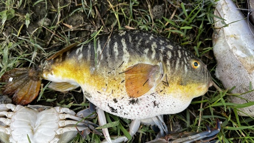
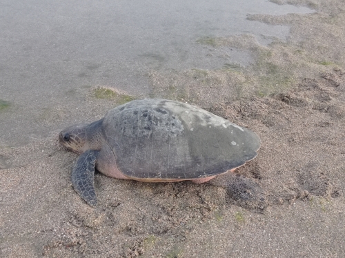
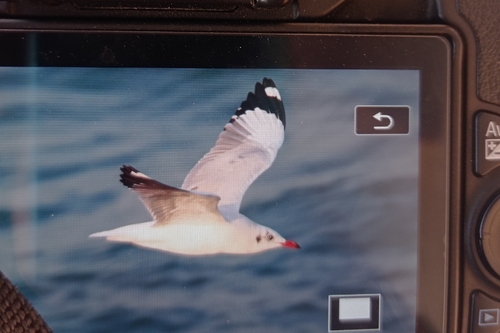
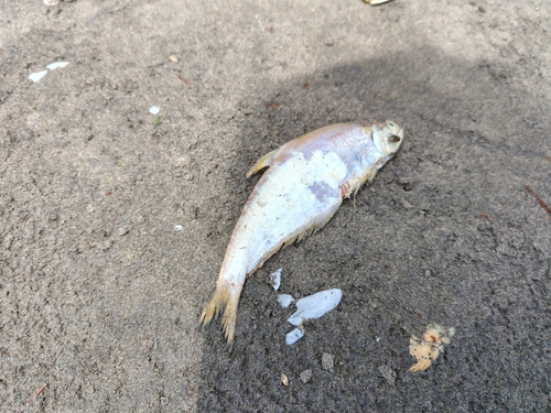
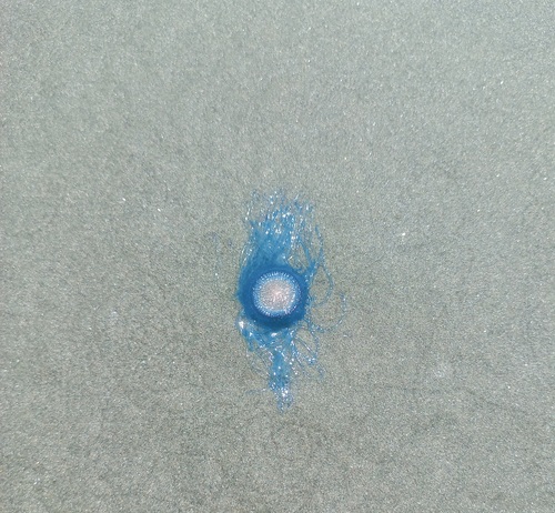
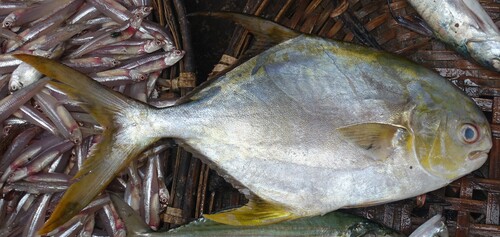
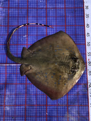
Research-grade observations from iNaturalist (within ~15 mi).
Events
Gallery
Sources
- • Open-Meteo (ERA5 reanalysis)
- • Wikidata
- • Open-Meteo Air Quality (CAMS)
- • USGS Earthquake Catalog (global feed)
- • GBIF (Global Biodiversity Information Facility)
- • iNaturalist