Browse / Bangladesh / Chattogram / Madarsha Union
Madarsha Union
Chattogramvillage
Total population
34,268
Air quality index
Demographic figures from Bangladesh Bureau of Statistics. Overview below cites Wikipedia and may reference a different year.
City facts
Facts from Wikidata (CC0).
Overview
Madarsha Union is a union parishad of Satkania Upazila in the Division of Chittagong, Bangladesh.
Read more on WikipediaHistory & geography
History
The Madarsha Union was formed in 1943 during the British rule with the two present villages of Rampur and Madarsha. At that time the chairman of the union was called the village president. During the rule of Pakistan in 1950, the post of village president was declared as the chairman of the union council. In 1954, Oshiuddin Sarkar became the first village president. Abu Noyeem Mohammad Selim Chowdhury is the current Chairman of the Madarsha Union. In 2010, the then administrator separated Rampur village from Madarsha Union and formed a separate union called West Dhemsha Union to facilitate administrative work.
Geography
The union total area is . Madarsha Union is located in the south-western part of Satkania Upazila. The distance of this union from Upazila Sadar is about 10 kilometers. Eochia Union is to the north of this union, Satkania Municipality is to the east, Sonakania Union is to the south and Saral Union, Bailchhari Union and Kalipur Union of Banshkhali Upazila are to the west.
Excerpted from the corresponding Wikipedia article (CC BY-SA).
Geography
Coordinates & boundaries from the US Census TIGER/Line shapefiles.
Climate
10-year averages from ERA5 reanalysis (Open-Meteo).
Air quality
Current readings from Open-Meteo Air Quality API (Copernicus CAMS European reanalysis).
Walkability
Amenities nearby
Wildlife & biodiversity
Most-observed species
- Common MynaAcridotheres tristis (Linnaeus, 1766) · Aves30
- Red-vented BulbulPycnonotus cafer (Linnaeus, 1766) · Aves24
- Black DrongoDicrurus macrocercus Vieillot, 1817 · Aves24
- Spotted doveSpilopelia chinensis (Scopoli, 1786) · Aves24
- Chestnut-tailed StarlingSturnia malabarica (Gmelin, 1789) · Aves23
- Jungle MynaAcridotheres fuscus (Wagler, 1827) · Aves21
- Yellow-browed WarblerPhylloscopus inornatus (Blyth, 1842) · Aves20
- Large-billed CrowCorvus macrorhynchos Wagler, 1827 · Aves18
Citizen-science & research observations from the Global Biodiversity Information Facility (GBIF).
Earthquake history
Most recent
- M 4.1 — 2024-04-2050 km ESE of Bāndarban, Bangladesh
- M 4.8 — 2021-10-1919 km W of Saiha, India
- M 4.8 — 2019-02-1716 km WSW of Saiha, India
- M 4.1 — 2018-03-3040 km SSW of Saiha, India
- M 4.7 — 2016-06-2724 km NE of Raoj?n, Bangladesh
- M 4.3 — 2015-01-1532 km SSW of Lunglei, India
Events from the USGS Earthquake Catalog (global) (FDSN Event Web Service).
Photos
Sights & places nearby
Notable people from here


People born within ~10 km, from Wikidata (CC0). Click any name for their Wikipedia article.
Nearby places in Chattogram
Geography & sun
Elevation, sunrise/sunset and daylight from Open-Meteo. Solar climatology from NASA POWER.
Nearby airports
Public attention
Pageview totals from the Wikimedia Pageviews API.
Books about this place
Recent natural events nearby
Ground air-quality sensors
Recently spotted species
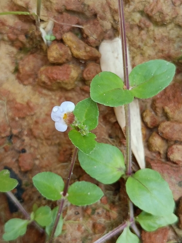
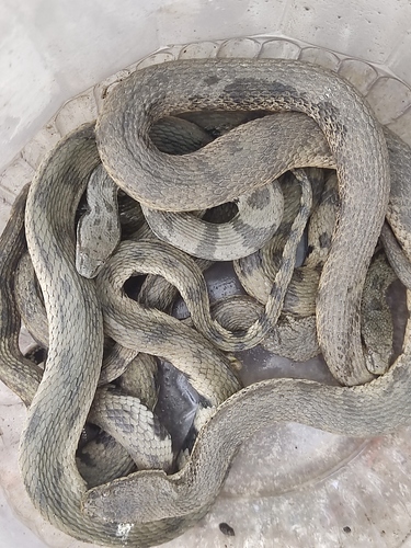
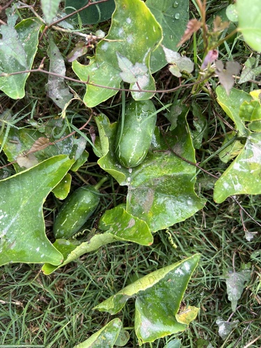
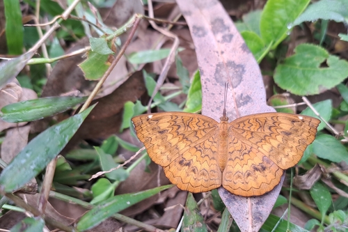
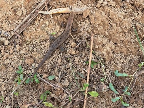
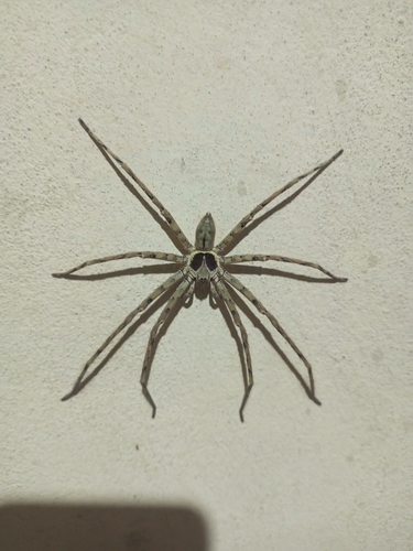
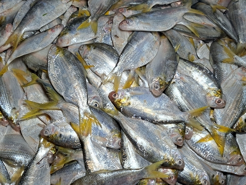
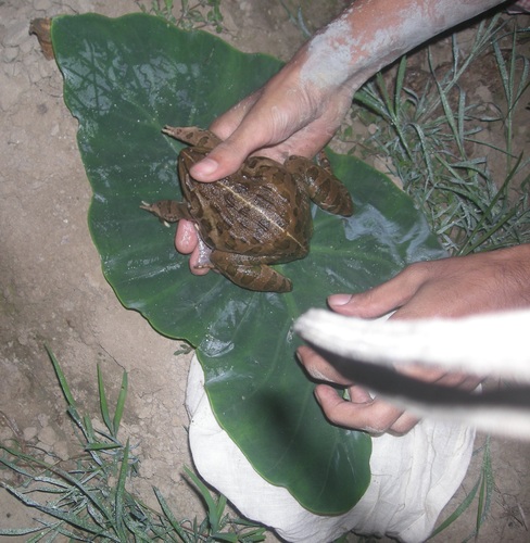
Research-grade observations from iNaturalist (within ~15 mi).
Events
Gallery
Geotagged photos within ~6 miles of Madarsha Union, from Wikimedia Commons contributors.
 0 mi
0 mi 1.1 mi
 1.2 mi
 1.8 mi
 1.8 mi
 1.9 mi
 2 mi
2 mi 2 mi
2 mi 2 mi
2 mi 2.7 mi
 3.8 mi
_in_2021.01.jpg) 4.9 mi
4.9 mi_in_2021.02.jpg) 4.9 mi
4.9 mi 5.1 mi
 5.1 mi
 5.1 mi
 5.1 mi
 5.1 mi
 5.1 mi
 5.1 mi
 5.2 mi
 5.2 mi
 5.2 mi
 5.2 mi
Photos via Wikimedia Commons — see each image page for license & attribution.
Sources
- • Wikipedia
- • Open-Meteo (ERA5 reanalysis)
- • Wikimedia Commons
- • Wikidata
- • Open-Meteo Air Quality (CAMS)
- • USGS Earthquake Catalog (global feed)
- • GBIF (Global Biodiversity Information Facility)
- • iNaturalist
- • Open-Meteo / sunrise-sunset.org
- • Wikipedia Pageviews API