Browse / Belgium / Brussels / Jette
Jette
Brusselstown
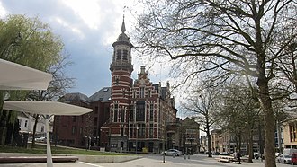
Jette
Total population
52,728
Founded
1841
Demographic figures from Statbel. Overview below cites Wikipedia and may reference a different year.
City facts
Facts from Wikidata (CC0).
Overview
Jette is one of the 19 municipalities of the Brussels-Capital Region, Belgium. Located in the north-western part of the region, it is bordered by the City of Brussels, Ganshoren, Koekelberg, and Molenbeek-Saint-Jean, as well as the Flemish municipalities of Asse and Wemmel. In common with all of Brussels' municipalities, it is legally bilingual (French–Dutch).
Read more on WikipediaHistory & geography
History
Neolithic tools and remains of a Gallo-Roman villa have been found on the territory of Jette, proving the old age of the first settlements in this area. The fact that its first church was dedicated to Saint Peter also indicates early Christianisation. During the Middle Ages, parts of the territory were feudal dependencies of the Duchy of Brabant. Under the duke's protection, Dieleghem Abbey was founded in 1095 by the Bishop of Cambrai and administered by Augustinian canons. In 1140, the Abbey's monks switched to the rules of the Premonstratensian order. In the 13th century, the Abbey possessed half of the municipality's territory and played an important social and economic role until the French Revolution. During the Ancien Régime, Jette was part of the town of Merchtem, located in modern-day Flemish Brabant. In the 17th century, during the period of the Spanish Netherlands, the Finance Minister under Archdukes Albert and Isabella acquired and refurbished the old 12th-century Rivieren Castle in the village of Ganshoren, near Jette. In 1654, the minister's son made this estate into a barony, then five years later, into a county, which included Jette and several neighbouring villages. In the 1790s, the regime that was put in power by the French Revolution curtailed the religious freedoms drastically. The monks were expelled from the Abbey in 1796, and most of the buildings demolished the following year. Only the abbot's house was kept as a leisure house. In 1841, Ganshoren split from Jette. During the following decades, what remained of Jette gradually lost its rural character to become a suburb of Brussels. Its population, which was of around 10,000 in 1900 grew to more than 40,000 in 1971.
Excerpted from the corresponding Wikipedia article (CC BY-SA).
Geography
Coordinates & boundaries from the US Census TIGER/Line shapefiles.
Climate
Air quality
Walkability
Amenities nearby
Wildlife & biodiversity
Most-observed species
- Yellow-legged hornetVespa velutina Lepeletier, 1836 · Insecta32,780
- Rose-ringed ParakeetPsittacula krameri (Scopoli, 1769) · Aves22,737
- Egyptian GooseAlopochen aegyptiaca (Linnaeus, 1766) · Aves21,246
- Canada Goose (canadensis Group)Branta canadensis (Linnaeus, 1758) · Aves12,475
- Rock PigeonColumba livia J.F.Gmelin, 1789 · Aves10,992
- Ring-necked PheasantPhasianus colchicus Linnaeus, 1758 · Aves9,246
- Harlequin ladybird, Asian ladybird, Asian ladybeetleHarmonia axyridis (Pallas, 1773) · Insecta9,015
- Box tree mothCydalima perspectalis (Walker, 1859) · Insecta6,266
Citizen-science & research observations from the Global Biodiversity Information Facility (GBIF).
Earthquake history
Most recent
- M 2.9 — 2018-05-251 km S of Reppel, Belgium
- M 2.8 — 2008-12-201 km WSW of Louvain-la-Neuve, Belgium
- M 3.3 — 2008-09-133 km SSE of Florennes, Belgium
- M 2.8 — 2008-09-121 km NNW of Court-Saint-Étienne, Belgium
- M 2.7 — 2008-08-091 km SW of Ottignies, Belgium
- M 2.6 — 2008-08-090 km NW of Ottignies, Belgium
Events from the USGS Earthquake Catalog (global) (FDSN Event Web Service).
Photos
Sights & places nearby
Notable people from here


People born within ~10 km, from Wikidata (CC0). Click any name for their Wikipedia article.
Nearby places in Brussels
- Ganshoren0.8 mi away · pop. 25,234
- Koekelberg1.1 mi away · pop. 21,959
- Laeken - Laken1.2 mi away
- Berchem-Sainte-Agathe - Sint-Agatha-Berchem1.5 mi away · pop. 25,502
- Molenbeek-Saint-Jean - Sint-Jans-Molenbeek1.6 mi away · pop. 97,979
- Schaerbeek - Schaarbeek2.2 mi away
- Mutsaard2.3 mi away
- Brussels2.4 mi away · pop. 194,291
- Neder-Over-Heembeek2.6 mi away
- Anderlecht2.6 mi away · pop. 120,887
- Saint-Josse-ten-Noode - Sint-Joost-ten-Node2.8 mi away
- Evere3.4 mi away · pop. 42,656
Geography & sun
Elevation, sunrise/sunset and daylight from Open-Meteo. Solar climatology from NASA POWER.
Nearby airports
Public attention
Pageview totals from the Wikimedia Pageviews API.
Books about Jette

Search results from Open Library.
Recent natural events nearby
Ground air-quality sensors
Recently spotted species
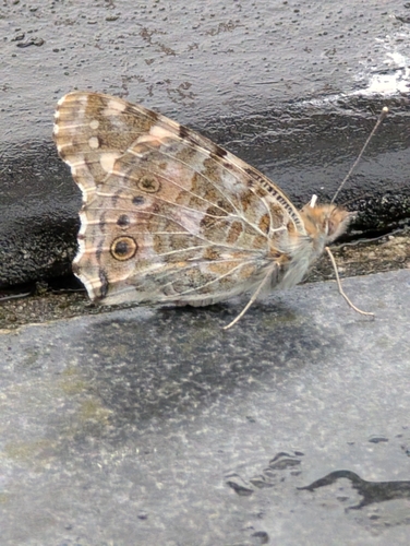
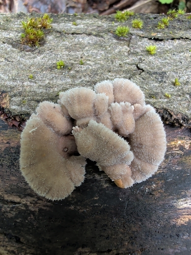
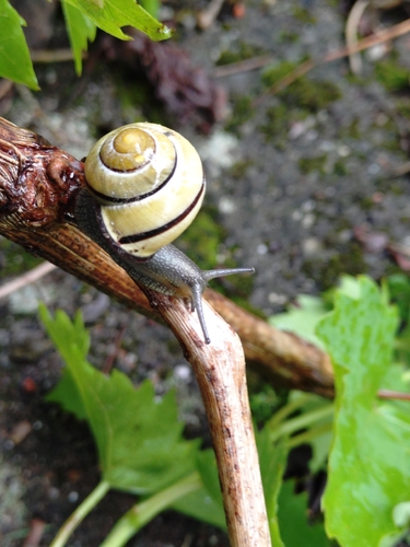
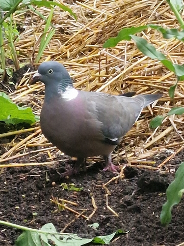
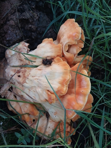
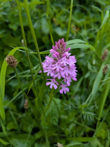
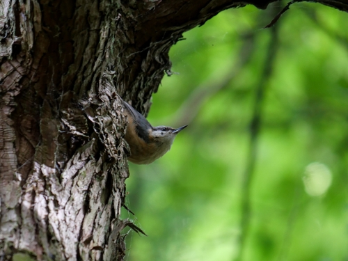
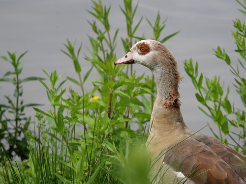
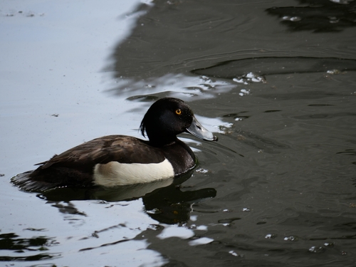
Research-grade observations from iNaturalist (within ~15 mi).
Events
Gallery
Geotagged photos within ~6 miles of Jette, from Wikimedia Commons contributors.
 0 mi
0 mi 0.2 mi
 0.2 mi
 0.3 mi
 0.3 mi
.jpg) 0.3 mi
0.3 mi 0.3 mi
 0.3 mi
 0.3 mi
 0.3 mi
 0.3 mi
 0.3 mi
 0.3 mi
 0.3 mi
 0.3 mi
 0.3 mi
 0.4 mi
.jpg) 0.4 mi
0.4 mi.jpg) 0.4 mi
0.4 mi 0.4 mi
 0.4 mi
 0.4 mi
 0.4 mi
 0.4 mi
Photos via Wikimedia Commons — see each image page for license & attribution.
Sources
- • Wikipedia
- • Wikimedia Commons
- • Wikidata
- • USGS Earthquake Catalog (global feed)
- • GBIF (Global Biodiversity Information Facility)
- • iNaturalist
- • Open-Meteo / sunrise-sunset.org
- • Wikipedia Pageviews API
- • Open Library
- • Wikidata SPARQL (CC0) — population, area, elevation, inception, head of government, Commons image