Browse / Burkina Faso / Hauts-Bassins / Bobo-Dioulasso
Bobo-Dioulasso
Hauts-Bassinscity

Bobo-Dioulasso
Total population
724,971
Demographic figures from INSD Burkina Faso. Overview below cites Wikipedia and may reference a different year.
City facts
Sister cities
Facts from Wikidata (CC0).
Overview
Bobo-Dioulasso is a city in Burkina Faso with a population of 1,129,000 ; it is the second-largest city in the country, after Ouagadougou, Burkina Faso's capital. The name means "home of the Bobo-Dioula".
Read more on WikipediaHistory & geography
History
According to local tradition, Bobo-Dioulasso was founded as Sia in the 15th century. Populated by the Oule and Dioula subgroups of the Bobo people, it became an important market center, particularly in the export of horses southwards. Sia was therefore an important link in the developing trade routes linking Djenne and the Inner Niger Delta to Kong, Begho and ultimately the Gold Coast. Kong's growing influence in the region culminated in the reign of Seku Watara, who established the Kong Empire in 1710. His brother Famagan Watara and sons Kere-Mori and Bamba Watara played important roles in conquering Sia and subjugating the native Bobo-Dioula and Bobo-Oule in the late 1730s. Sia proper, which survives today as the Dioulasoba neighborhood, was partly spared this total destruction. It was dramatically modified in 1932 when a large road artery was built through it and by the widening of streets in successive urban renewal projects. Between 1926 and 1929, the French colonial government constructed a typical European grid pattern of new avenues and streets in the city, intersected by diagonals radiating from a center, with square urban lots between them. This established the framework for the modern city center. The Abidjan Railway reached Bobo-Dioulasso in 1934, increasing its access to markets, transportation, and communications. But the growth of the city as a colonial industrial center halted because of the world economic crisis during the Great Depression, as well as the suppression of the colony of Upper Volta in 1933. The city started expanding again after World War II. Reorganization of the colony of Upper Volta in 1947 attracted business to Bobo-Dioulasso, although Ouagadougou had been selected as the capital. An early industrial center, Bobo-Dioulasso is also…
Excerpted from the corresponding Wikipedia article (CC BY-SA).
Geography
Coordinates & boundaries from the US Census TIGER/Line shapefiles.
Climate
Air quality
Walkability
Amenities nearby
Wildlife & biodiversity
Most-observed species
- MangoMangifera indica L. · Magnoliopsida8
- CashewAnacardium occidentale L. · Magnoliopsida7
- Emperor's CandlesticksSenna alata (L.) Roxb. · Magnoliopsida6
- PeanutArachis hypogaea L. · Magnoliopsida5
- Desert Horse-PurslaneTrianthema portulacastrum L. · Magnoliopsida4
- Castor-oil-PlantRicinus communis L. · Magnoliopsida4
- Small CaltropsTribulus terrestris L. · Magnoliopsida4
- Bermuda-grassCynodon dactylon (L.) Pers. · Liliopsida4
Citizen-science & research observations from the Global Biodiversity Information Facility (GBIF).
Earthquake history
Events from the USGS Earthquake Catalog (global) (FDSN Event Web Service).
Photos
Sights & places nearby
Notable people from here


People born within ~10 km, from Wikidata (CC0). Click any name for their Wikipedia article.
Nearby places in Hauts-Bassins
Geography & sun
Elevation, sunrise/sunset and daylight from Open-Meteo. Solar climatology from NASA POWER.
Nearby airports
Public attention
Pageview totals from the Wikimedia Pageviews API.
Books about Bobo-Dioulasso
Search results from Open Library.
Recent natural events nearby
Ground air-quality sensors
Recently spotted species
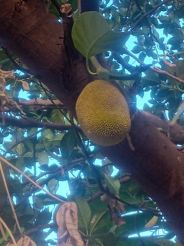
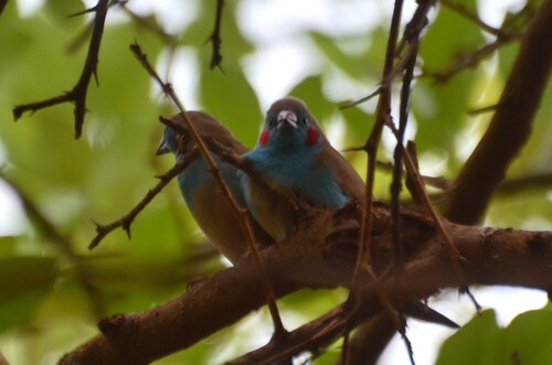
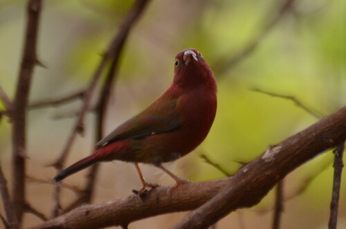
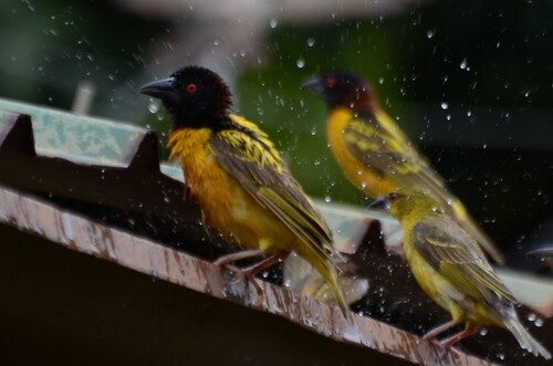
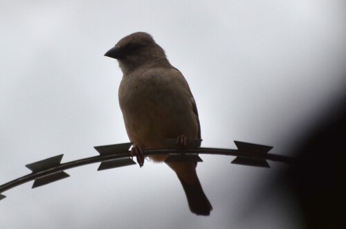
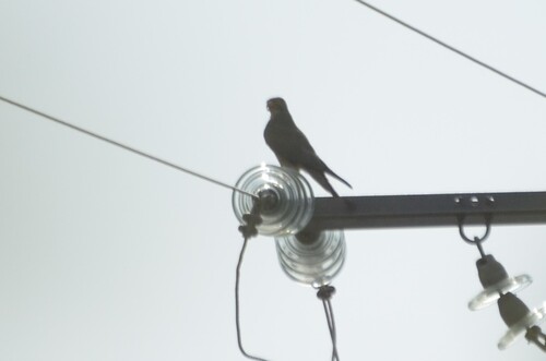
Research-grade observations from iNaturalist (within ~15 mi).
Events
Gallery
Sources
- • Wikipedia
- • Wikidata
- • USGS Earthquake Catalog (global feed)
- • GBIF (Global Biodiversity Information Facility)
- • iNaturalist
- • Open-Meteo / sunrise-sunset.org
- • Wikipedia Pageviews API
- • Open Library