Browse / Burkina Faso / Plateau-Central / Bouanga
Bouanga
Plateau-Centralvillage
Total population
1,910
Demographic figures from INSD Burkina Faso. Overview below cites Wikipedia and may reference a different year.
City facts
Overview
Situated in Plateau-Central, Burkina Faso, Bouanga is a village. Its coordinates of 12.409°, -1.913° place it in the tropical zone of the northern hemisphere. Around 1,910 people are recorded as living there in the most recent open data. Its latitude implies a climate characterised by warm temperatures throughout the year with pronounced wet and dry seasons. Open solar datasets indicate about 2,136 kWh/m² of solar irradiance per year, combined with sunshine for roughly 84% of daylight hours. Detailed open-data panels follow, covering demographics, climate, geography, wildlife and nearby settlements.
Summary composed automatically from structured open data on this page. See our Terms for details.
History & geography
Geography
Coordinates & boundaries from the US Census TIGER/Line shapefiles.
Climate
Air quality
Walkability
Amenities nearby
Wildlife & biodiversity
Most-observed species
- Chestnut-bellied StarlingLamprotornis pulcher (Statius Muller, 1776) · Aves5
- Laughing DoveSpilopelia senegalensis (Linnaeus, 1766) · Aves5
- Yellow-fronted TinkerbirdPogoniulus chrysoconus (Temminck, 1832) · Aves4
- Common BulbulPycnonotus barbatus (Desfontaines, 1789) · Aves4
- Vinaceous DoveStreptopelia vinacea (J.F.Gmelin, 1789) · Aves4
- Black-billed Wood-DoveTurtur abyssinicus (Sharpe, 1902) · Aves4
- Northern Red-billed HornbillTockus erythrorhynchus (Temminck, 1823) · Aves3
- African Golden OrioleOriolus auratus Vieillot, 1817 · Aves3
Citizen-science & research observations from the Global Biodiversity Information Facility (GBIF).
Earthquake history
Events from the USGS Earthquake Catalog (global) (FDSN Event Web Service).
Photos
Sights & places nearby
Notable people from here
Nearby places in Plateau-Central
- Salse1.2 mi away
- Barouli9.5 mi away
- Boussé17.6 mi away · pop. 13,173
- Daguilma32.4 mi away
- Dogomnoogo (Nouveau site)33.9 mi away
- Wavoussé48.7 mi away
- Rapadama village 157.8 mi away
- Rapadama village 459.9 mi away
- Koratenga64.3 mi away
- Site de recasement (mine)69.4 mi away
- Amdalaye70.3 mi away
- Manguin74.7 mi away
Geography & sun
Elevation, sunrise/sunset and daylight from Open-Meteo. Solar climatology from NASA POWER.
Nearby airports
Public attention
Books about this place
Recent natural events nearby
Ground air-quality sensors
Recently spotted species
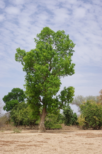
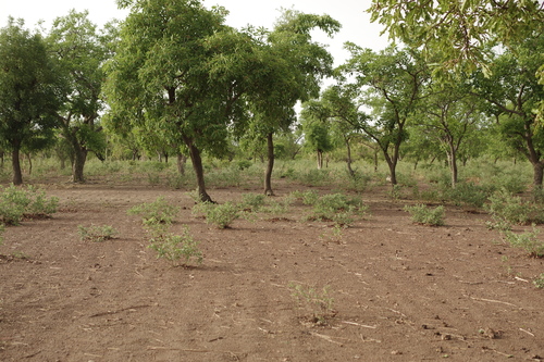
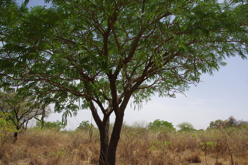
Research-grade observations from iNaturalist (within ~15 mi).
Events
Gallery
Sources
- • USGS Earthquake Catalog (global feed)
- • GBIF (Global Biodiversity Information Facility)
- • iNaturalist
- • Open-Meteo / sunrise-sunset.org