Browse / Burkina Faso / Boucle du Mouhoun / Dédougou
Dédougou
Boucle du Mouhouncity

Dédougou
Total population
32,050
Demographic figures from INSD Burkina Faso. Overview below cites Wikipedia and may reference a different year.
City facts
Sister cities
Facts from Wikidata (CC0).
Overview
Dédougou is a city located in western Burkina Faso. It is the capital city of Mouhoun Province and Boucle du Mouhoun Region. The main ethnic groups are the Marka and the Bwa. The population of Dédougou was 37,793 in 2006; 18,778 were male and 19,015 were female. It is the 10th largest city in Burkina Faso.
Read more on WikipediaHistory & geography
Geography
Coordinates & boundaries from the US Census TIGER/Line shapefiles.
Climate
Air quality
Walkability
Amenities nearby
Wildlife & biodiversity
Most-observed species
- Emperor's CandlesticksSenna alata (L.) Roxb. · Magnoliopsida2
- OspreyPandion haliaetus (Linnaeus, 1758) · Aves1
- bambouk-buttertreeVitellaria paradoxa C.F.Gaertn. · Magnoliopsida1
- Barbados NutJatropha curcas L. · Magnoliopsida1
- Triumfetta pentandra A.Rich. ex Guill. & Perr.Triumfetta pentandra A.Rich. ex Guill. & Perr. · Magnoliopsida1
Citizen-science & research observations from the Global Biodiversity Information Facility (GBIF).
Earthquake history
Events from the USGS Earthquake Catalog (global) (FDSN Event Web Service).
Photos
Sights & places nearby
Notable people from here

People born within ~10 km, from Wikidata (CC0). Click any name for their Wikipedia article.
Nearby places in Boucle du Mouhoun
Geography & sun
Elevation, sunrise/sunset and daylight from Open-Meteo. Solar climatology from NASA POWER.
Nearby airports
Public attention
Pageview totals from the Wikimedia Pageviews API.
Books about this place
Recent natural events nearby
Ground air-quality sensors
Recently spotted species
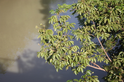
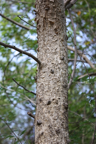

Research-grade observations from iNaturalist (within ~15 mi).
Events
Gallery
Sources
- • Wikipedia
- • Wikidata
- • USGS Earthquake Catalog (global feed)
- • GBIF (Global Biodiversity Information Facility)
- • iNaturalist
- • Open-Meteo / sunrise-sunset.org
- • Wikipedia Pageviews API