Browse / Burkina Faso / Centre / Mogtédo
Mogtédo
Centrevillage
Demographic figures from INSD Burkina Faso. Overview below cites Wikipedia and may reference a different year.
City facts
Overview
As a village in Centre, Burkina Faso, Mogtédo occupies its own corner of the country. Located at 12.254°, -1.386°, Mogtédo occupies a tropical portion of the northern hemisphere. Up-to-date population figures for this locality are not available in the open datasets we monitor. Its latitude implies a climate characterised by warm temperatures throughout the year with pronounced wet and dry seasons. Open solar datasets indicate about 2,136 kWh/m² of solar irradiance per year, combined with sunshine for roughly 84% of daylight hours. Continue scrolling for population, climate, environmental and points-of-interest data drawn from public sources.
Summary composed automatically from structured open data on this page. See our Terms for details.
History & geography
Geography
Coordinates & boundaries from the US Census TIGER/Line shapefiles.
Climate
Air quality
Walkability
Amenities nearby
Wildlife & biodiversity
Most-observed species
- Laughing DoveSpilopelia senegalensis (Linnaeus, 1766) · Aves438
- Red-cheeked CordonbleuUraeginthus bengalus (Linnaeus, 1766) · Aves376
- Common BulbulPycnonotus barbatus (Desfontaines, 1789) · Aves363
- Beautiful SunbirdCinnyris pulchellus (Linnaeus, 1766) · Aves332
- Western Plantain-eaterCrinifer piscator (Boddaert, 1783) · Aves300
- Village WeaverPloceus cucullatus (Statius Muller, 1776) · Aves296
- Yellow-crowned GonolekLaniarius barbarus (Linnaeus, 1766) · Aves284
- Red-billed FirefinchLagonosticta senegala (Linnaeus, 1766) · Aves281
Citizen-science & research observations from the Global Biodiversity Information Facility (GBIF).
Earthquake history
Photos
Sights & places nearby
Notable people from here
Nearby places in Centre
- Baossom17.1 mi away
- Boudtenga-Peulh18.2 mi away · pop. 1,069
- Zanghindiessé22.9 mi away
- Zouma27.9 mi away
- Hassi R'Mel1459.8 mi away · pop. 22,133
- Hassi Delaa1495.1 mi away · pop. 11,204
- Ksar El Hirane1514.9 mi away
- Donji Dobretin2492 mi away · pop. 20
- Gornji Dobretin2492.4 mi away · pop. 9
- Kotarani2492.5 mi away · pop. 3
- Sočanica2492.7 mi away · pop. 23
- Javornik2494.5 mi away · pop. 107
Geography & sun
Elevation, sunrise/sunset and daylight from Open-Meteo. Solar climatology from NASA POWER.
Nearby airports
Public attention
Books about this place
Recent natural events nearby
Ground air-quality sensors
Recently spotted species
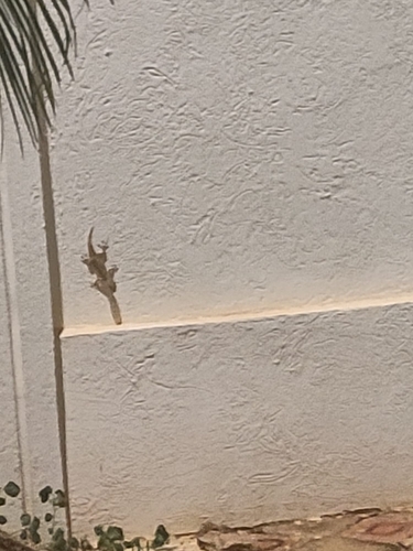
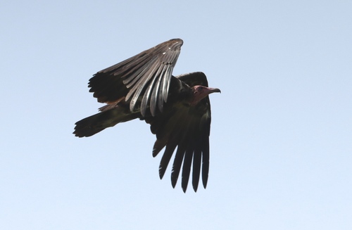


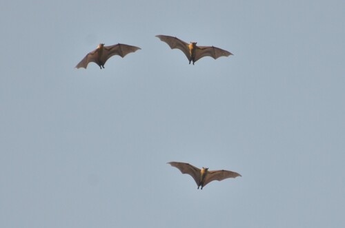
Research-grade observations from iNaturalist (within ~15 mi).
Events
Gallery
Sources
- • Wikidata
- • GBIF (Global Biodiversity Information Facility)
- • iNaturalist
- • Open-Meteo / sunrise-sunset.org